odurandina
Senior Member
- Joined
- Dec 1, 2015
- Messages
- 5,328
- Reaction score
- 265
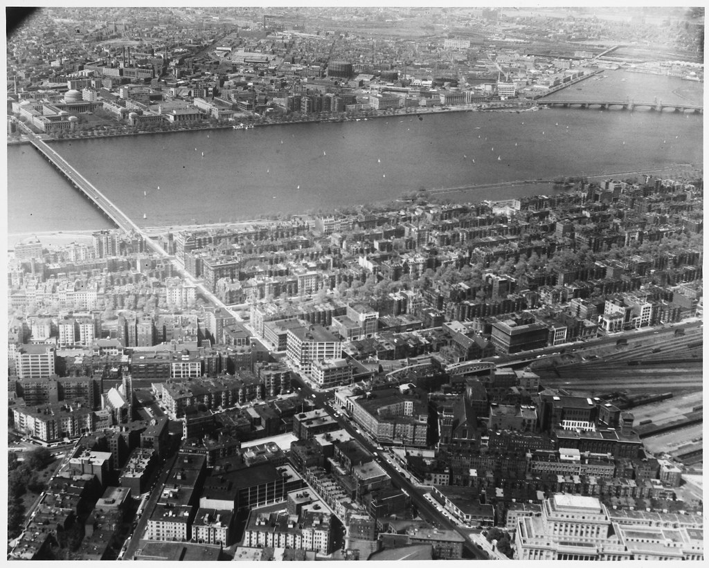
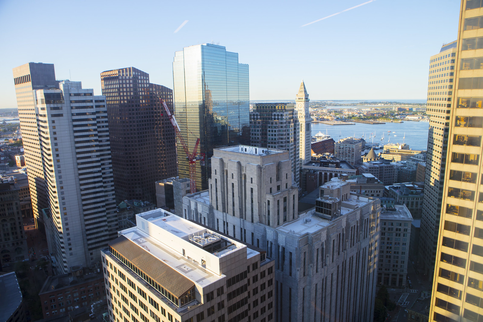
There's no doubt that Storrow is a resource for moving people, but a parkway (that can't even handle buses!) is the least efficient possible mode to run there. (absolute worst people per lane-mile per hour) If you have a sincere desire to move people, you can only conclude that Storrow needs to lose its car-only restriction.
And note that North Point (Green Line), West End (2 Greens, a Red & a Blue), and Allston Yards (West Station)--the places that will be generating trips --are all on rail transit.
Ergo, the smart use for Storrow is as a surface transitway, either electric bus or Green Line, and for this the T has left a stub at North Station that would permit the Green Line to be extended out Storrow to Kenmore and/or West Station.
Surface Green Line or Silver Line would take about the equivalent space of 3 traffic lanes (one half of Storrow's current paved width). It'd be quiet and electric--a vast improvement for abutters.
It would also return about another 3 lane's worth of land, which I'd propose to use as: a one way loop for taxi access & a dedicated bikeway. The rest would be for footpaths, & greenspace (leisure)
You're right. We need the additional rail. but, the proper thing is to sink it below grade, and keep the road–compromised as it is.