Boston & Cambridge - 1950's

That's the way I feel when looking at this now and then's, too.

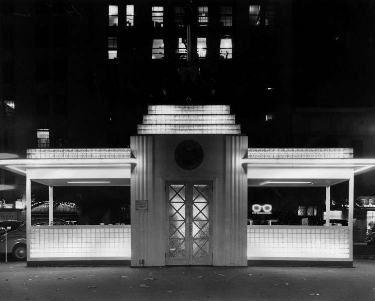
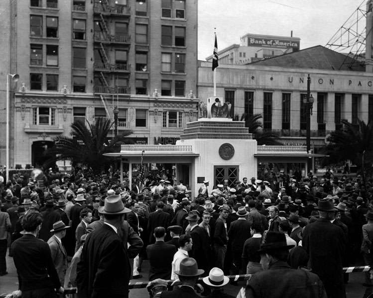
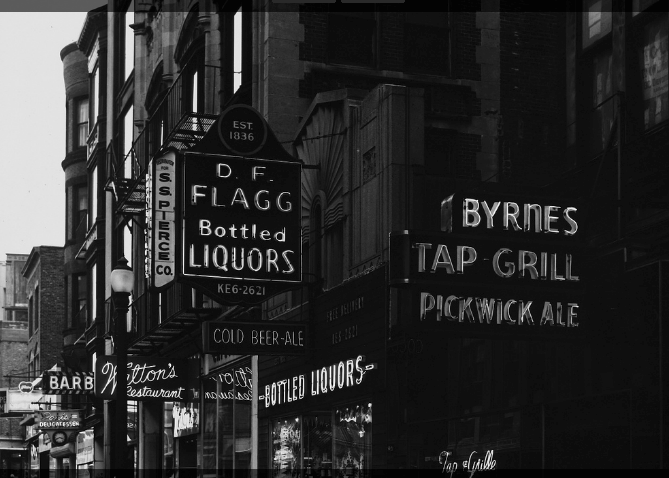
To finish out my weekend's work looking at old photos, here are four from the MIT Libraries.

My questions, comments:

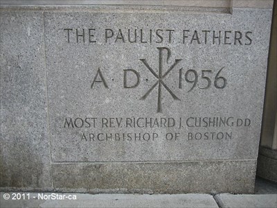
Paulist Center - I swear I remember seeing it look like this in the 1990's, but from what I gather, it didn't look like this after the '70's?

Massachusetts Ave - wow. What a change. If it looked like this today, I'd live there.

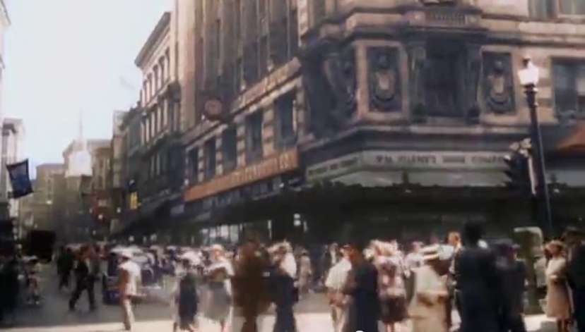
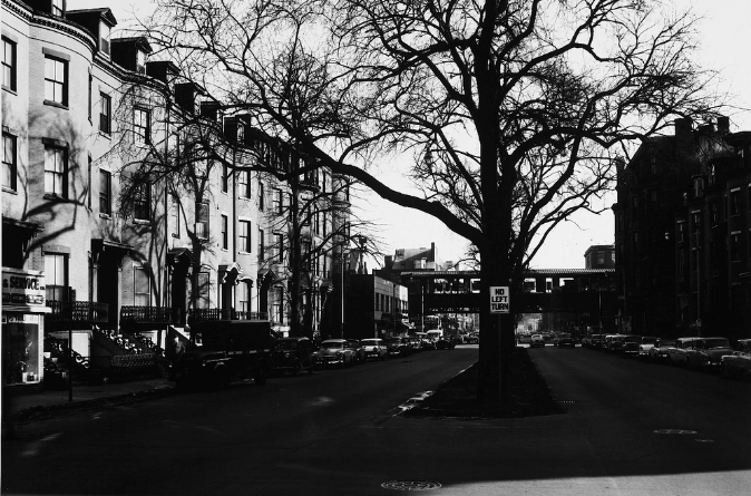
Dartmouth Street - not sure where this part of the street is located - the description says Back Bay, but where?

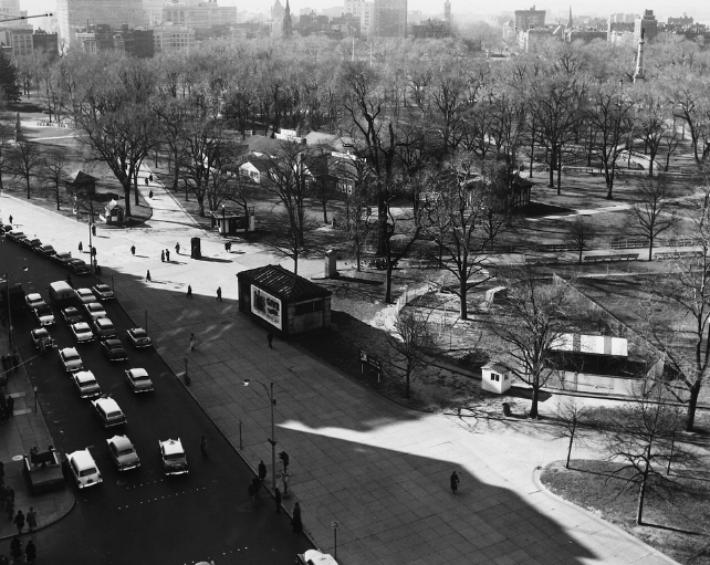
Boston Common - this image shows all these houses on the Common - what were these??

paulist.png


mass_ave.png


bottled_liquors.png


common.png

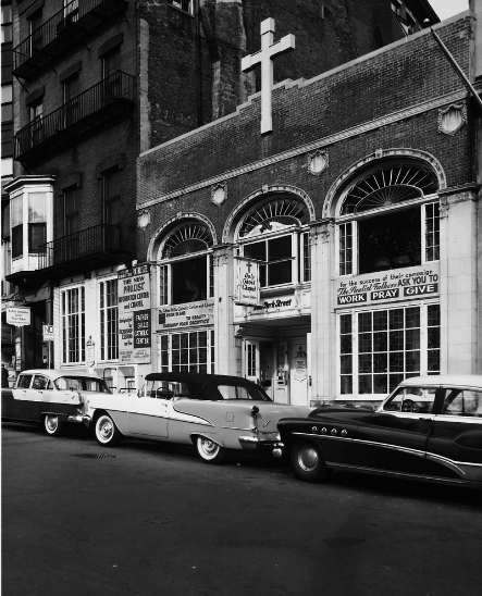
Paulist Center: Wow....Clearly they built offices over the original chapel.
Common: The Common had a village of houses during WWII for various aspects of war support and fund raising, etc.
 
When I was a kid back in the 1950's, I distinctly remember that during good weather Boston Common had a supervised outdoor play area for kids, so that the parent could drop the kid off an go shopping. That was when DTX was a magical area brimming with large department stores and shops of every type.
 
What does the full caption of the 'Dartmouth Street' photo say? You did not link back to the page where you found the photo. I'm wondering if it's actually Boylston Street at Dartmouth.
 
Common: The Common had a village of houses during WWII for various aspects of war support and fund raising, etc.

Neat. Love learning things like that.

Agreed, statler. I'm continually amazed to see how many places had temporary wood structures erected on them during the wartime boom, only to for them to vanish 5-10 years later. Boston's most famous example of this would probably be MIT's Building 20, which happily managed to last half a century longer than it was supposed to.

Los Angeles' main downtown park, Pershing Square, had a similar building put up to help with the bond selling. It was called the Victory House:

losangeles19420625persh.jpg


losangeles19411209persh.jpg
 
Not exactly 1950s, but here's Washington Street and Filene's from the early '40s, taken from a WWII documentary on youtube:

boston1941dtxwashington.png

y outube.com/watch?v=l8hvU1o-0VE
 
But this isn't the South End. This is the Back Bay. The South End starts on the other side of St. Botolph. This is right next to highly desirable stuff like Symphony Hall, Jordan Hall, and Horticultural Hall.

Looks to me like the never-built South End Bypass would have required clearing St. Botolph Street, not Huntington ... and as we all know, that didn't happen.

see south end map for a render of the south end bypass
http://www.bostonredevelopmentauthority.org/research-maps/maps-and-gis/historic-maps
 
I'm having a hard time figuring this out in my brain so if anyone has some information .. please!

Here's an image from Flickr circa mid-1950s.

This is the elevated going in front of North Station (and in front of whatever that building was called on the right, not Manger, right?) facing Causeway Street, branching off to the left to Science Park & Lechmere and off to the right to cross the Charlestown bridge and on to Everett (but no longer down Atlantic Ave since that was torn down in the 40's, yes?).

The caption on Flickr says that's what it is; if so, then what is that building on the right, above and across the Central Artery? It looks like it could be the old Boston Garden but that's not accurate if as it says, North Station is to the left. Is it 585 Commercial Street / old molasses tank?

EDIT: I guess that building upper right is the old paint-ball building that was next to Strada234. Shoulda figured that part out.

If so, then where the hell is that train coming from, underneath the artery, and where the hell is it going, if it's going down Causeway Street??

Also, I didn't know the trolleys went UNDER the Central Artery. That's kind of cool.


MTA EL CausewaySt c1950rk by ironmike9, on Flickr

Lol, what am i missing that's so obvious. I can't place it on this one, either, taken 1968.

https://www.alamy.com/stock-image-m...hing-north-station-august-1968-166283228.html
 
Last edited:
The freight train you see is operating on the Union Freight Railroad, which connected the rail line behind North Station with the rail line at South Station, by way of Commercial Street and Atlantic Avenue. It was severed when the waterfront redevelopment in the 1960's rerouted Atlantic Ave towards the Central Artery. I think it finally closed down completely in 1970. It was a great freight rail link connecting the northside and southside rail systems.

The trolley car tracks under the Central Artery were remnants of the line that crossed the old Beverly Street Bridge, which crossed the Charles about where the dam is today. The rotting wood deck of the Beverly Street Bridge was still mostly in place until the late 50's or early 60's, with the trolley tracks still on it. I used to see them from the Charlestown Elevated train going across the Washington Street Bridge, when I was a kid back in the late 1950's.
 
This is an incredible thread, that I've only just now discovered.

Beton and John - Yes, this ramp from the bridge did exist! I remember it from when I went to MIT and commuted (by foot, bike or bus) across the bridge every day. It made a tight loop to curve around and enter the eastbound lanes of Storrow Drive from the left.

The ramp went away during reconstruction of the bridge in the late 1980s. See the references to 'Ramp "B"' on this Wikipedia page.

Sufficiently old road maps also show it providing access to westbound Storrow Drive, also entering from the left, but that was before my time (and before the Bowker Overpass was built over Charlesgate).

After the ramp was removed, the MDC tried turning the land that it had surrounded into a dog park, accessed by a short stairway from the bridge sidewalk. But that only lasted 2 or 3 years.

John Keith's discovery and Ron Newman's recollection of the ramp brought something back to me from a memory I've long struggled to reconcile with the current Storrow ramp configuration. I distinctly recall spending a night drinking on the abandoned ramps, convinced that a car would come barreling down toward us at any moment, all the while being reassured by a friend that the structure didn't connect to anything. A few decades later, I've wondered where exactly we could have been (definitely near the Charlesgate interchange) and now I know the answer.
 
Guy posted some great photos some months ago on Skyline Cities
 

Back
Top