Boston & Cambridge - 1950's

What's now called the 'Newbry' was built as the New England Life Insurance Company building. It replaced MIT after that institution moved to Cambridge.

Here's what it looked like before it took on its current form:

new_england_insurance_1950s.jpg


new_england_insurance_rendering.jpg
 
Check out the gasometer in the background at Kendall Sq. They could have done something cool with it a la Vienna. Or, if not, it wouldn't have been substantially worse than what's there now.
 
If it had more crazy statues and details that would be down right Stalinist.
 
I never understood what Ralph Adams Cram was going for with the original incarnation of that building until seeing the above rendering. From that angle, and that angle only, it makes (made) sense. Still, it's a most odd way to fill out two-thirds of a block.

Makes me think of what poet David McCord said about the building when it was new:

Ralph Adams Cram
One morning said damn,
And designed the Urn Burial
For a concern actuarial.
 
Cram was known for having an obtuse sense of humor and writing lovecraftian short stories.

He designed the original building for a life insurance company and thought it was hilarious to add large funerary urns into the design without the client picking up on the significance.

This was around the time he was working on the Boston Federal Building, now the John W. in Post Office Square, so the similarities between the two buildings are apparent.
 
I don't see the urns in either the drawing or the photo. Where are they?
 
The finials on the tower's corners are certainly urn-like.
 
Several from the MIT Libraries flickr stream.

http://www.flickr.com/photos/mit-libraries/show/

plymouth_theater.png


Above, Plymouth Theater & row of buildings on Stuart Street, currently site of State Transportation building

south_station.png


Inside South Station, I guess?

south_station1.png


South Station

citgo.png


Toward Kenmore Square, pre-CITGO

charles_st_circle.png


Charles Street Station

bus_station.png


An amazing photo; Ritz-Carlton in the background, 31 St James St in the foreground.

milk.png


Somewhere in Boston or Cambridge - Yep, you can get milk 24-hours a day ...
 
Below the CITIES SERVICE sign it says something like KOOL MOTOR -- I guess the building under the sign was a car dealer.
 
What is that milk thing...some kind of refrigerated indoor vending machine?

Also, why does the city seem so empty in so many of these shots?
 
Last edited:
^ because exposure times had to be much longer back then. people walking gets blurred out.
 
Long exposure times required? This is the 1950s, not the 1850s! The fading man inside South Station is clearly just suffering a Back to the Future kind of effect.
 
It took several days, but I've finally finished going through the MIT archive's photostream, and holy crap was it worth it. Now for the interesting stuff:

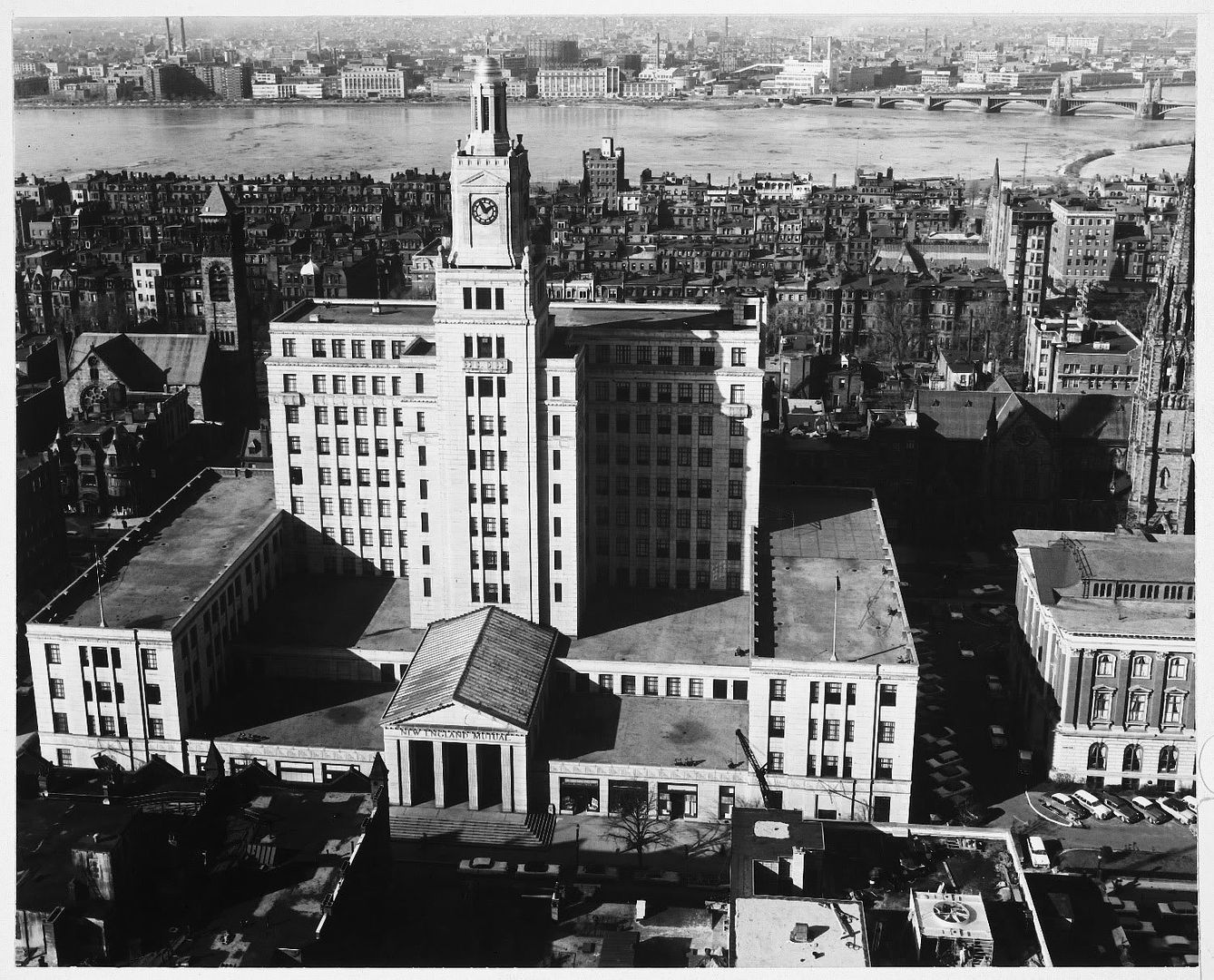
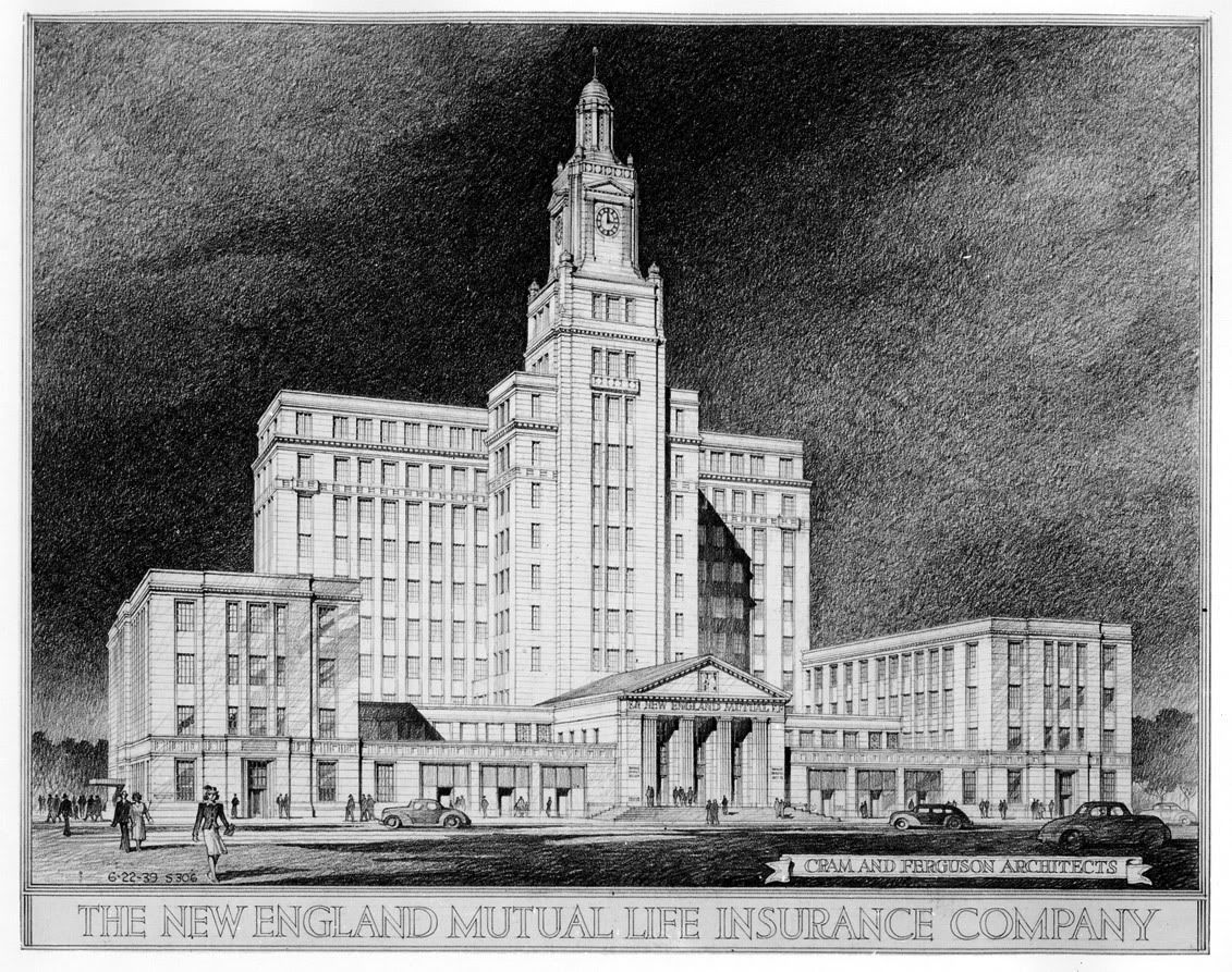
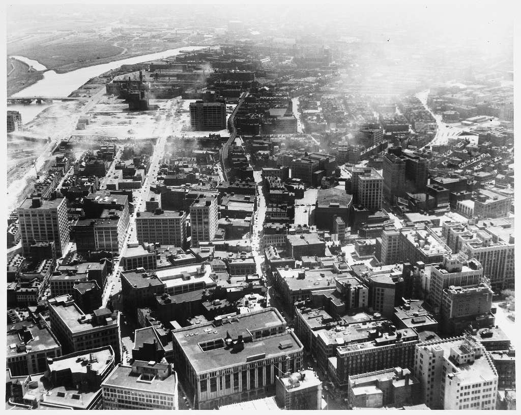
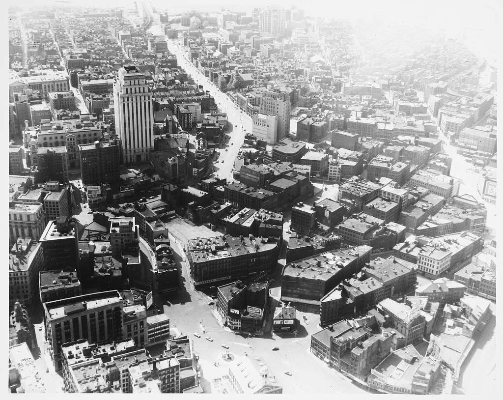
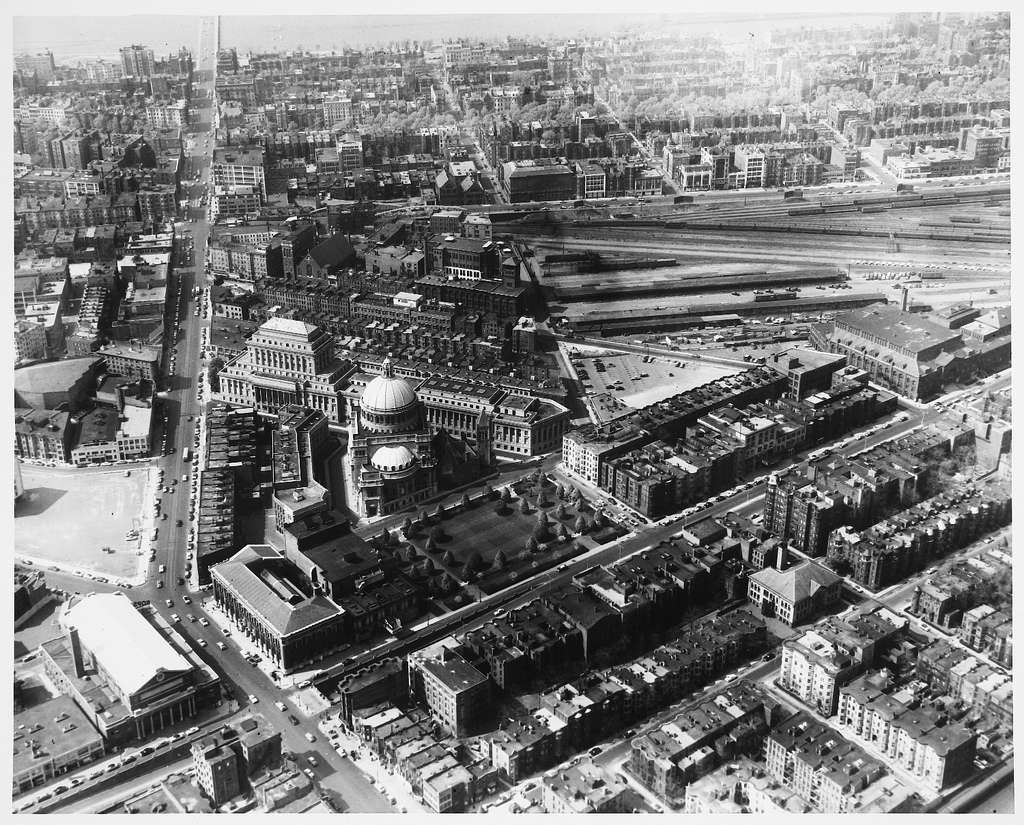
Chinatown/NEMC area:
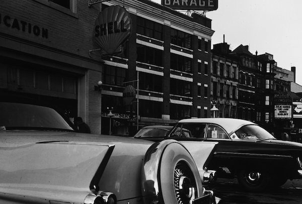
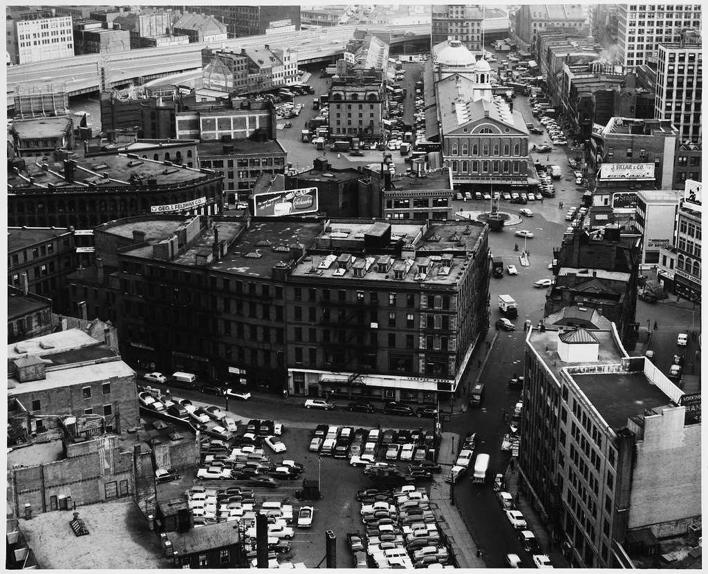
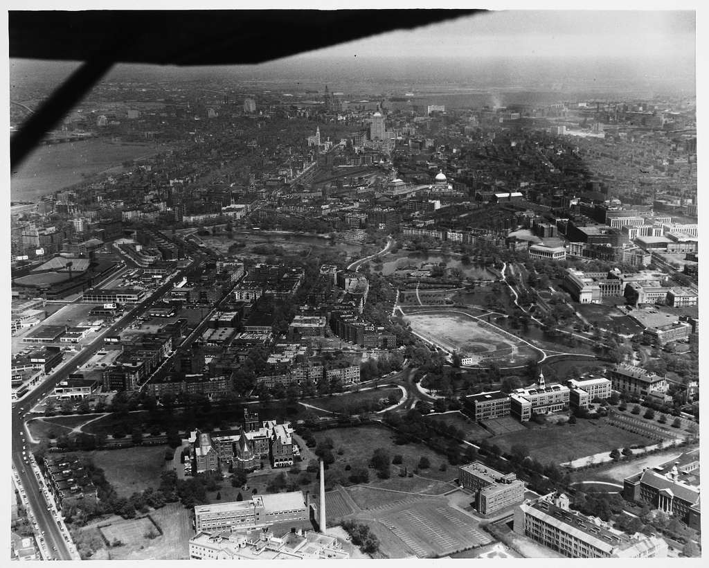
aerial1955dtschinatown.jpg


Scollay Square:
aerial1955dtscollay.jpg


aerial1955scollaysqfrom.jpg


aerial1955fenberklee2.jpg


aerial1955longwoodfensd.jpg


boston1955jhcars.jpg


boston1955midtowngreyho.jpg


boston1955dtnortheastca.jpg


boston1955scollaysq05.jpg


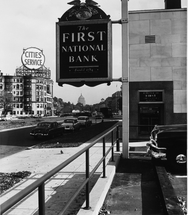
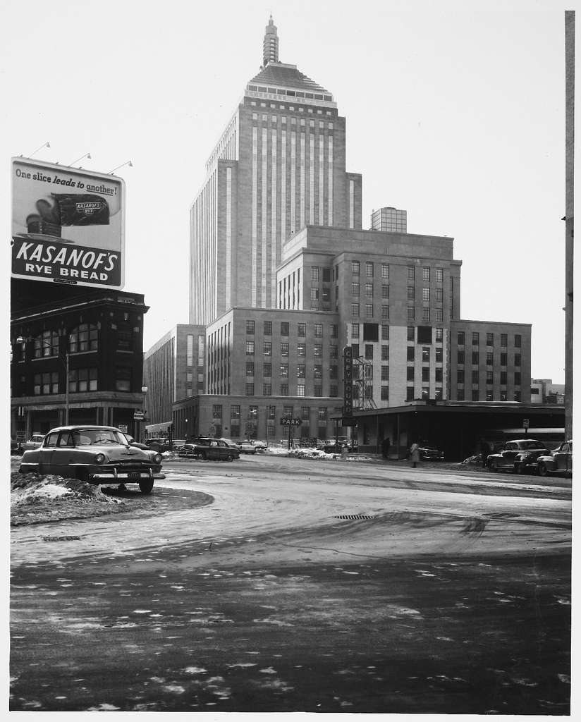
Gotta love black & white night photos.... where was this building? EDIT: right across the street from Fanieul Hall, where 28 State now sits.
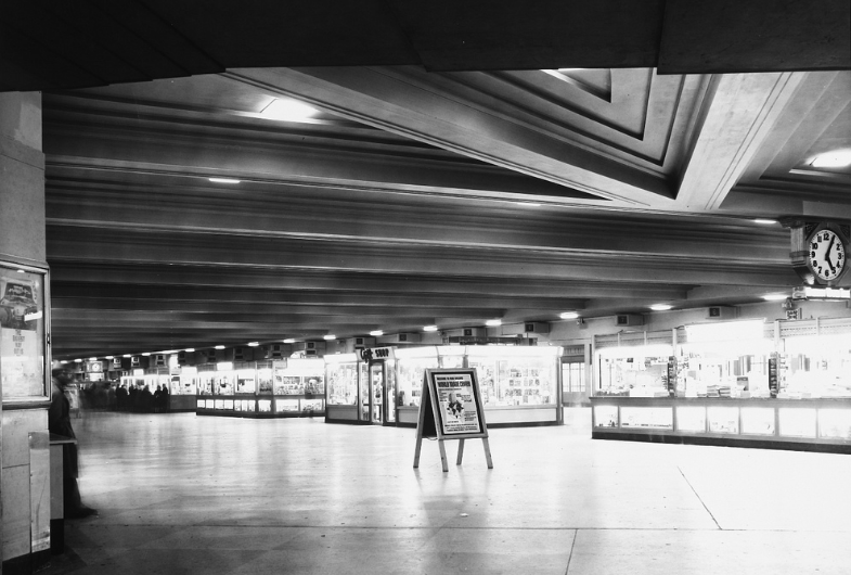
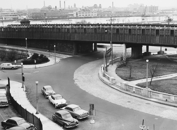
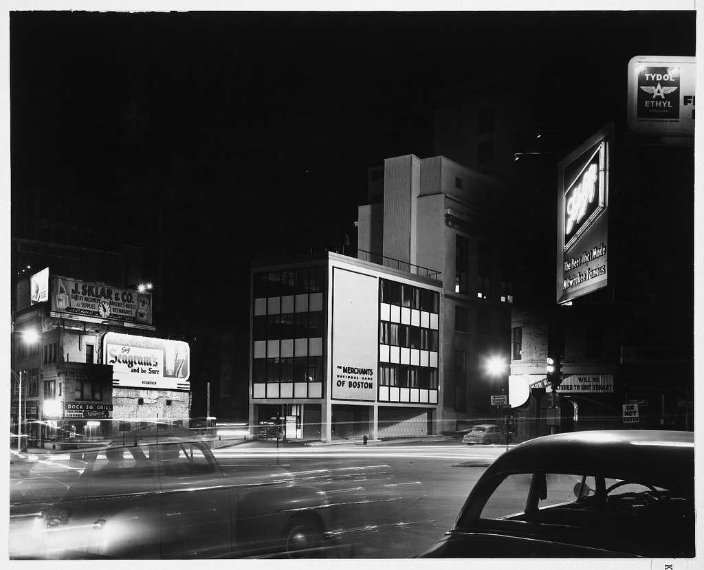
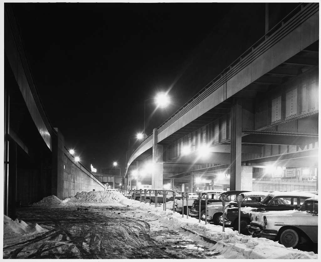
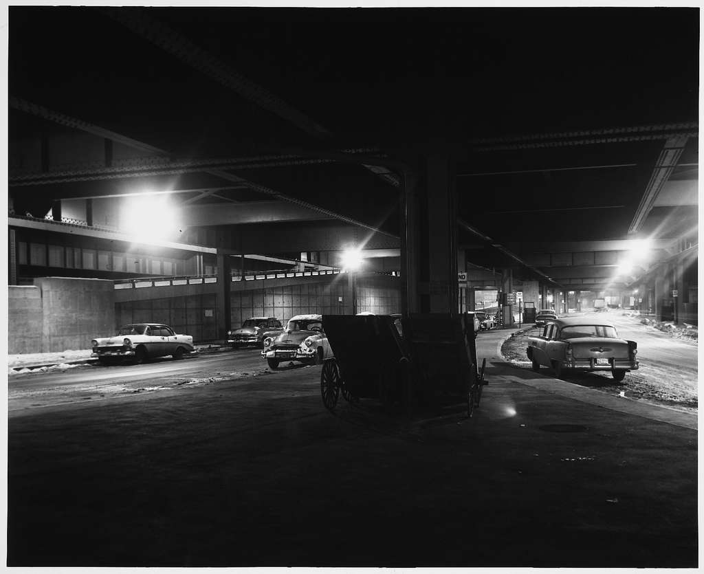
boston1955dtmodernwashs.jpg


Artery Noir
boston1955noirartery.jpg


boston1955noirarteryund.jpg


These next few are of the area by Berklee, before the highway came along and ripped out dozens upon dozens of buildings along Boylston Street. I've been looking for shots of this area for years.

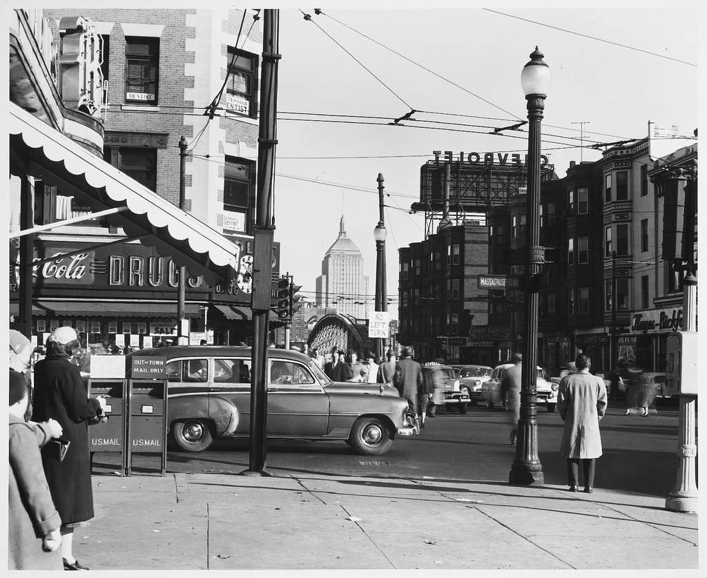
The first two are of Boylston and Mass looking east
boston1955massboylstonj.jpg


boston1955massboylstonj.jpg


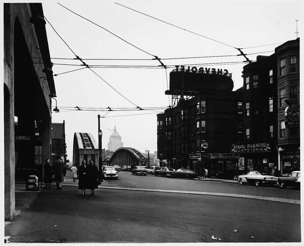
And this is of Mass and Newbury...note how there's buildings to the far right (where there's now an onramp for the turnpike)
boston1955massnewbbldgs.jpg


MIT's game was a step above the rest
mit1955.jpg


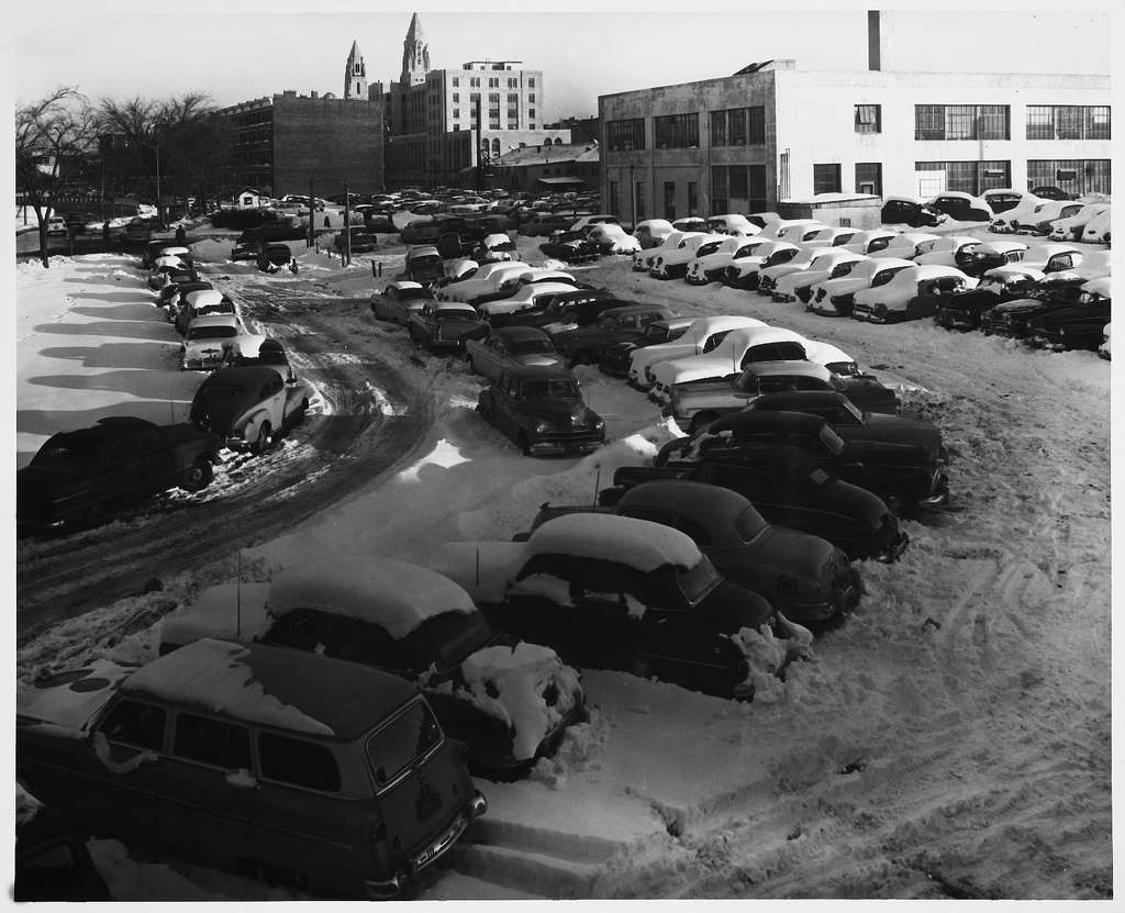
BU, not so much. This is by BU central, taken from the BU Bridge
bostonubu1955centralpkg.jpg


Comm Ave at the BU Bridge
bostonubu1955bridgearea.jpg


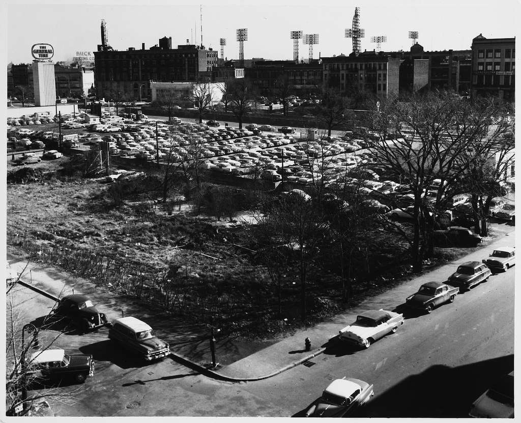
And this is the block bounded by Comm Ave, Bay State Rd, Deerfield Rd and Silber Way...the Towers dorms now occupy the vacant lot in the foreground (amazing this land sat fallow for half a century)
bostonubu1955towerskenm.jpg
 
Last edited:
Looks like the cars already owned the city by that time.

Scollay Square looks like it was already half-hollowed out for parking even before Gov't Center was cleared out.
 
If the lot in the last one is the BU towers, than behind it is the school of management, and to the left, the howard johnson motel.
 
Not gonna lie, Cambridge St (not necessarily the buildings, but the street itself) is so much better in the present day. It's awful in those pictures, and I thought it was terribly wide as it is now...
 

Back
Top