Pierce
Active Member
- Joined
- May 29, 2008
- Messages
- 461
- Reaction score
- 1
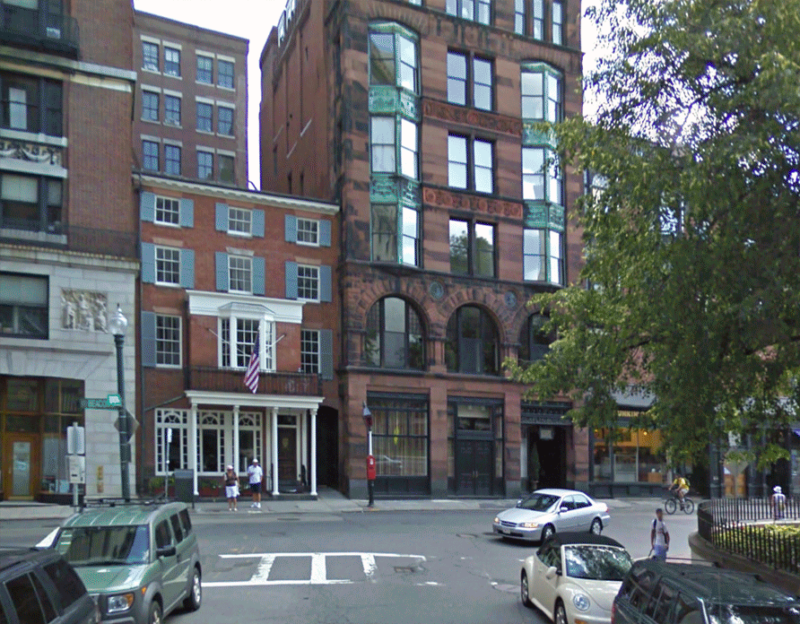
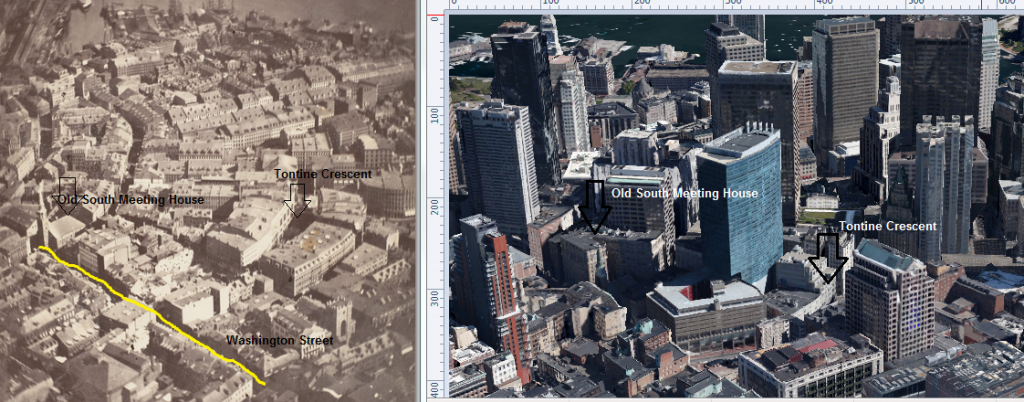
Playing around with the BPL's flickr photos, google streetview, and photoshop I came up with these gifs below. If you have the program [and a passing familiarity with it] it is a fairly straightforward procedure to make these, and a cool way to ground some of these photos. Obviously the vantagepoints on google are limited so I have to stretch and tweak photos to get certain buildings to kinda lineup, while other areas will naturally not line up at all. Anyway I plan to make more of these in the future, and invite others to do so and lets post them in this thread.
Old State House
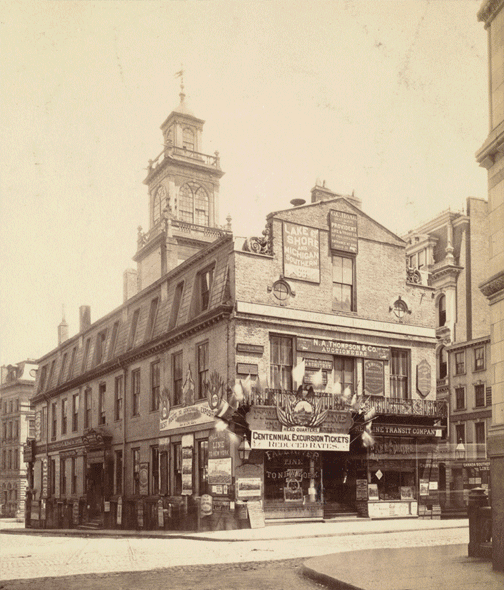
Milk Street
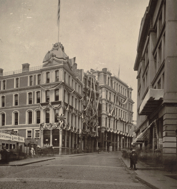
Old State House
Milk Street
Last edited: