"Dirty Old Boston"

1697348762586.jpeg

 
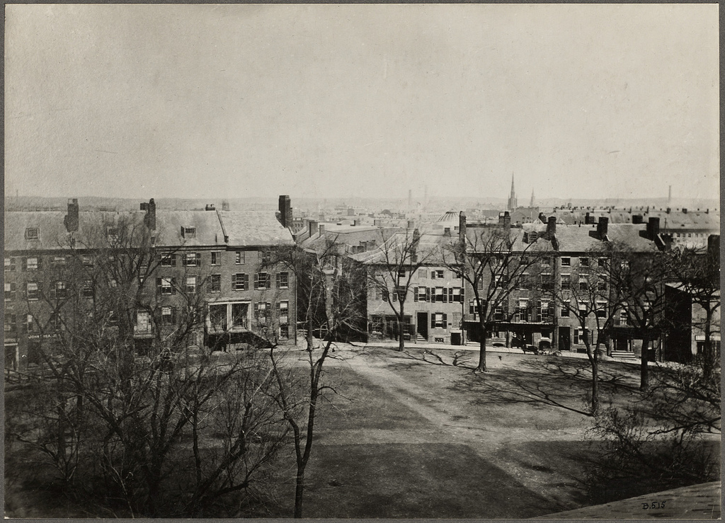
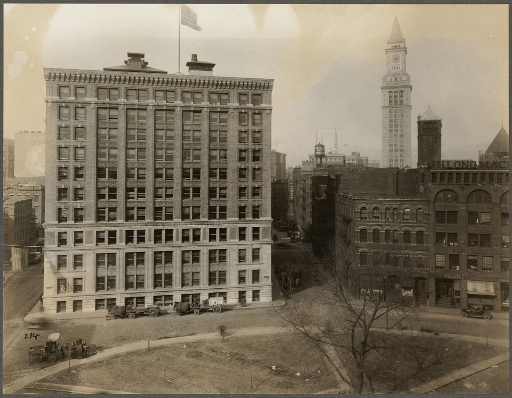
^^^ Such a shame that we lost Fort Hill Square, the elliptical space pictured above, where International Place is today. This is a much better public space than an empty atrium:

fort%2Bhill%2Bsq%2Babout%2B1856.jpg


fort%2Bhill%2Bsq%2B1925.jpg


It survived all the way into the 50s until the automobile finally killed it:

Screen Shot 2023-10-15 at 9.41.26 AM.png
 
Last edited:
^^^ Such a shame that we lost Fort Hill Square, the elliptical space pictured above, where International Place is today. This is a much better public space than an empty atrium:

fort%2Bhill%2Bsq%2Babout%2B1856.jpg


fort%2Bhill%2Bsq%2B1925.jpg


It survived all the way into the 50s until the automobile finally killed it:

View attachment 43584
What's so very stupid is they replaced it with a parking garage and an expressway off-ramp.
 
Yeah, Boston made some mistakes with the highway but luckily we ended up fixing it after 50 years and ended up with something better!

rose-kennedy-greenway-aerial.png
 
This weekend I saw some incredible photography at the Fort Point Open Studios. Don Eyles has these photos from the Big Dig, including from surprising vantage points. Seeing these printed wall-sized was really impressive, but you all might enjoy the thousands of pictures he has on his website.

1697462687449.png
1697462704888.png

1697462724180.png
 
That gallery takes me back to the days when I would wander around the construction. Sadly I didn’t have a camera with me at the time.
 
“Newton Highlands 2023 vs 1915.”

View attachment 42374
View attachment 42375

https://www.facebook.com/groups/697703333608128/permalink/6832888616756205/?mibextid=S66gvF

Is this accurate? I dont see a rail line here on the historical railway map.

https://www.arcgis.com/apps/mapviewer/index.html?layers=06b2e0f640b945f39361ae99c24918bb

Edit: after reading the comments under the picture apparently it’s the Boston and Worcester street railway. I had no idea rt. 9 had a trolley on it that ran from Boston to Worcester. Pretty crazy how extensive the street car network was.

1280px-Boston_and_Worcester.png

https://en.m.wikipedia.org/wiki/Boston_and_Worcester_Street_Railway
I remember reading one of my Great Grandmother's old diaries where she wrote she rode with her father from Weston to the Winsor School for classes in the 20s. Always blew my mind you could even make that commute via Streetcar.

Funnily enough she mentions that her dad bought a Model T the year after, so must not have been fun.
Let's go back to the future and reinstitute much of the 1920's LRV network, including the Route 9 link.
 
So that should be from World War II, after the initial build of the New England Mutual building in 1941 but before the 1947 Hancock Building was erected.

From left to right, you can see the Suffolk County Courthouse, the Custom House Tower, the federal courthouse/post office, and the United Shoe Machinery Building.
 
Both pics were found on this site:

1700463406027.png


1700463419695.png
 
^Thats interesting, for whatever reason I had never known before that the central artery connected to rt.1 before 93 north was built. I had always thought they were built together.
 

Back
Top