Wow! Thats incredible, I had never heard about this before.
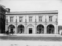
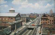
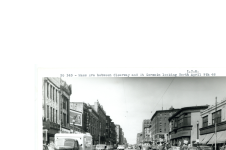
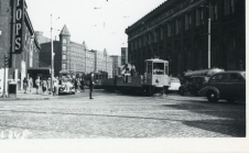
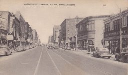
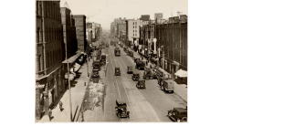
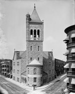
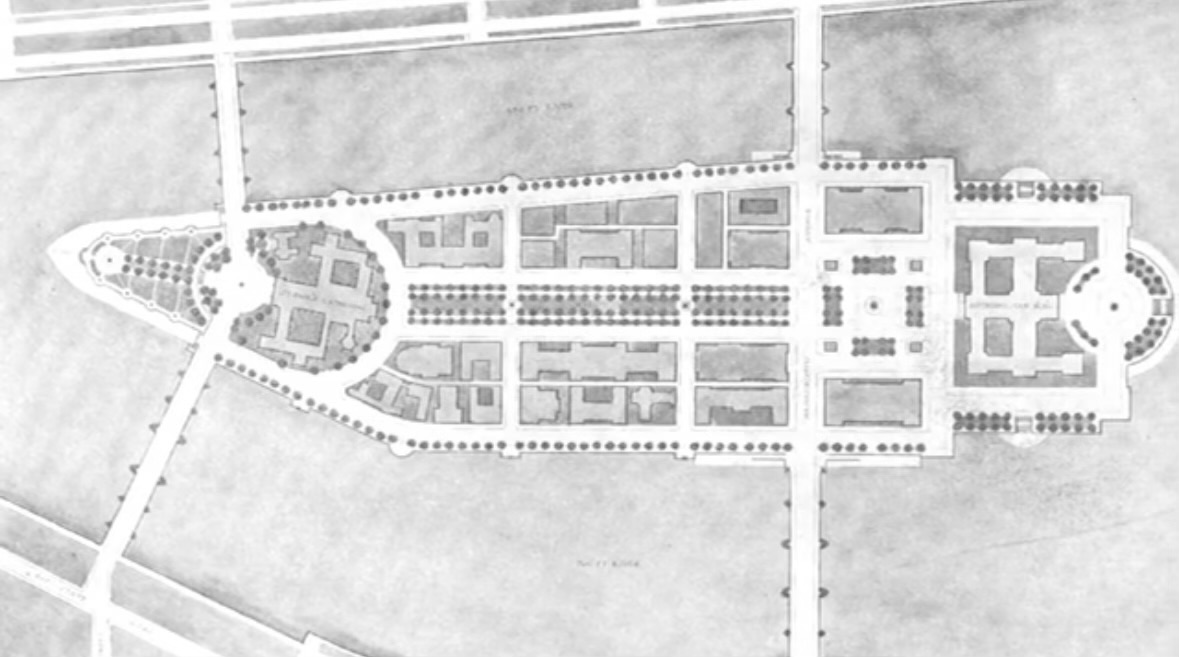
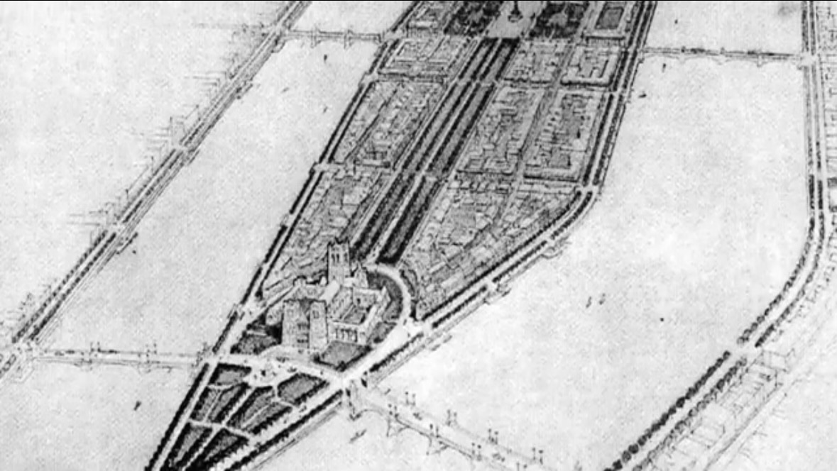
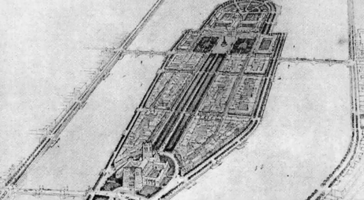
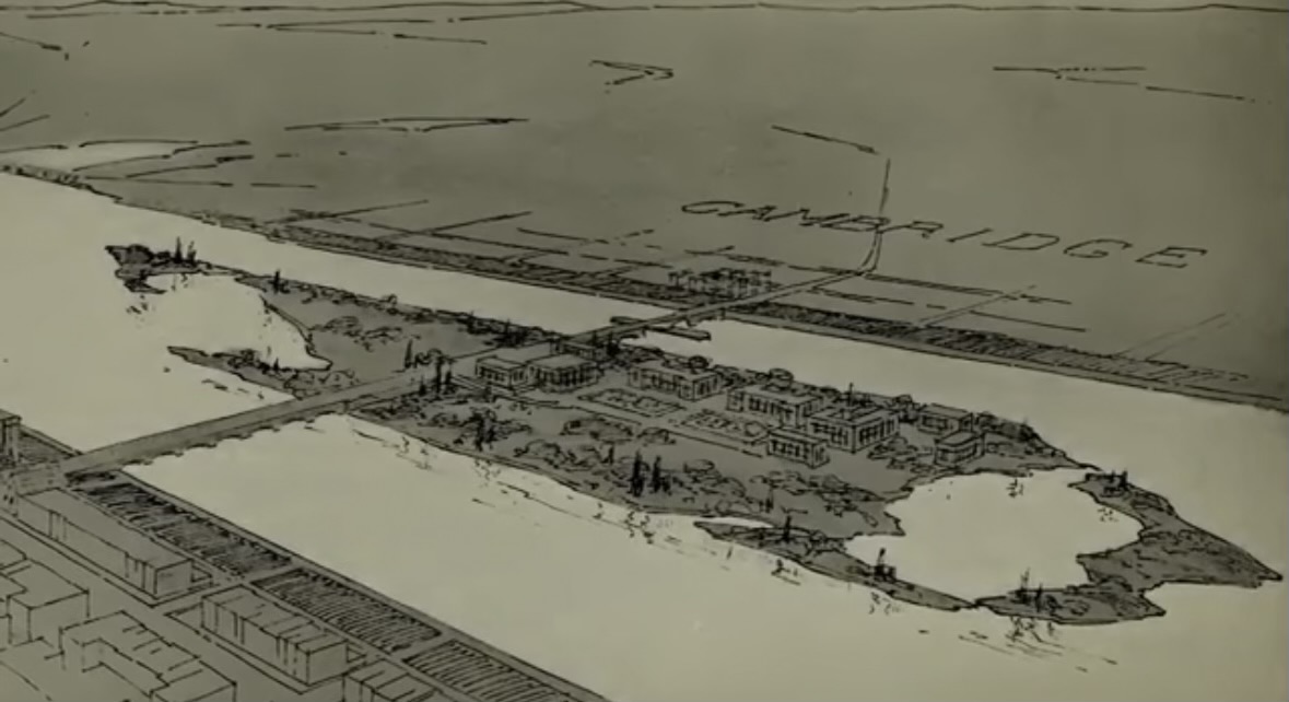
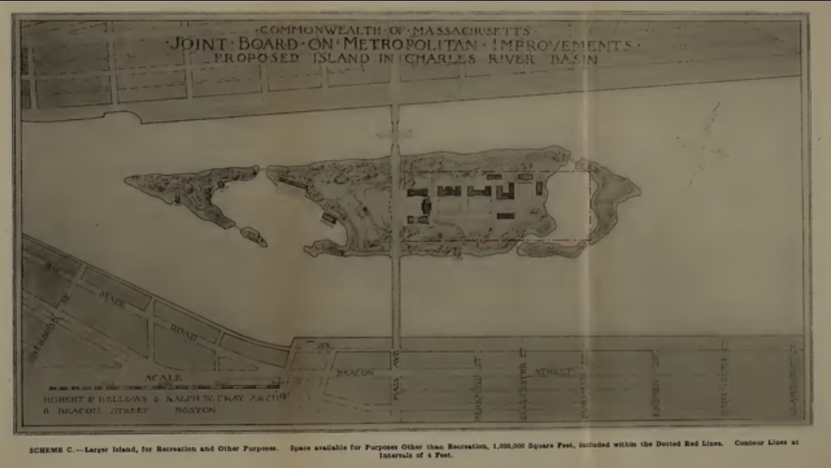
Some screenshots from the video.
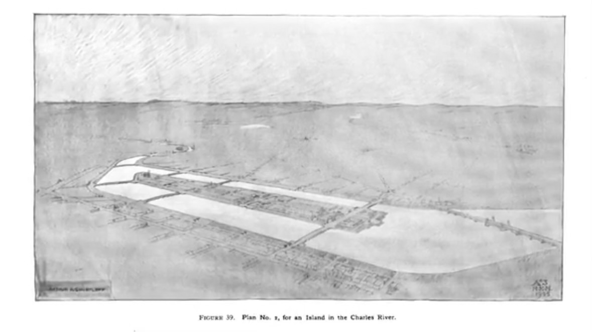
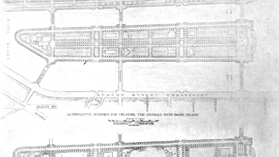
This is probably my favorite proposal, this would have been an incredible neighborhood. Definitely has a very parisian feel to it.
Looking at stuff like this its interesting how reclamation projects across the us have been essentially stopped completely over the last half century. You had battery park city and sometimes people will propose extending manhattan, but it never goes anywhere. On the other hand looking at a country like china theyre doing the type of reclamation we did 100 years ago, today. Its pretty fun to watch big things like that still happening. Here there was an uproar over even putting a walkway out in the charles river by the throat even though the shoreline is 100% artificial. We went from one extreme to the other.
I wonder if there will ever be a time again in the future where we build big projects again. One of the most obvious and least invasive ones I can think of would be extending battery park city north up manhattan island. Maybe something like that will happen again. As far as boston land reclamation is what literally created the city, with climate change coming I wonder if there will be an appetite for some projects again.