briv
Senior Member
- Joined
- May 25, 2006
- Messages
- 2,083
- Reaction score
- 3
I was cleaning out hard drive and came across these old hand-drawn aerial maps of Boston I downloaded a long time ago. I forget where I got them from, so I cant post a link. I believe they came from the Library Of Congress site, but Im not sure.
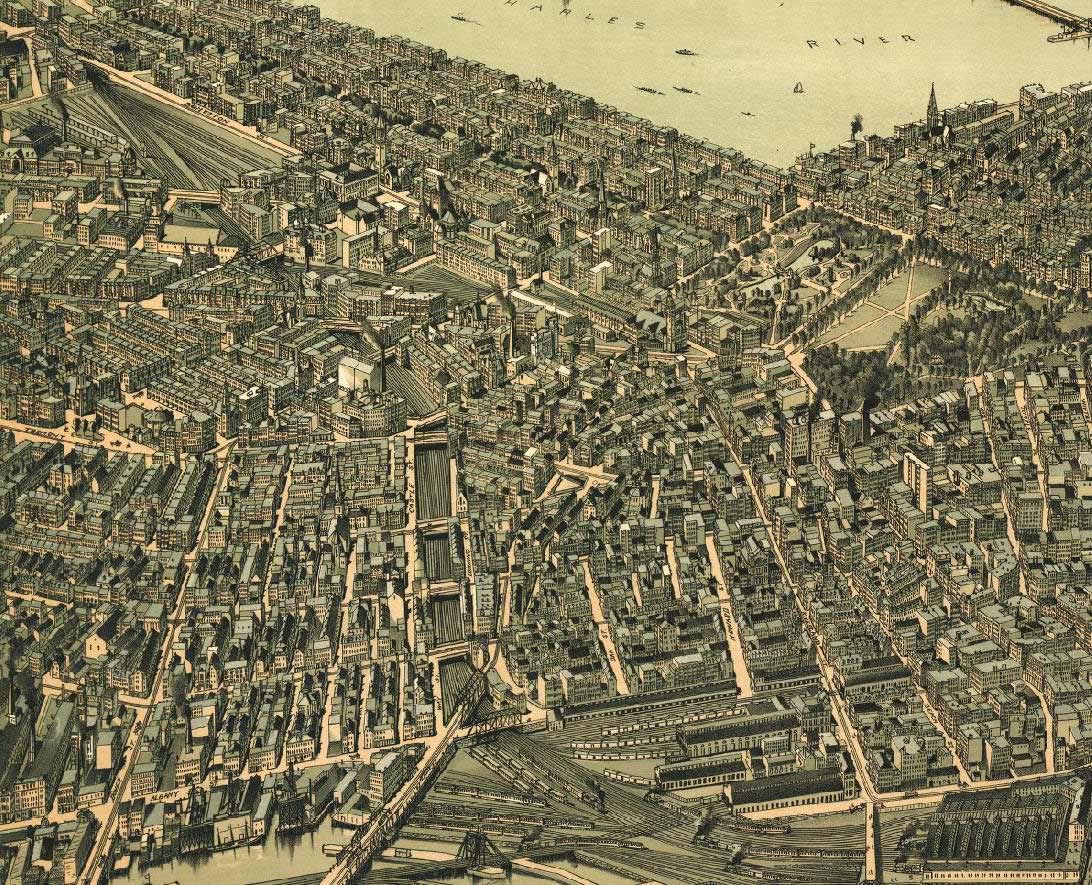
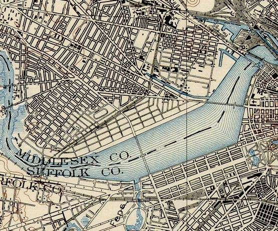
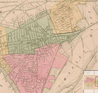
Anyway, they're really beautiful, and the level of detail is absolutely amazing. They also serve as a fairly accurate illustration of Boston at their respective times. Just thought I'd share them here. If anyone is interested in the files just PM or email me and I'll gmail them to you.
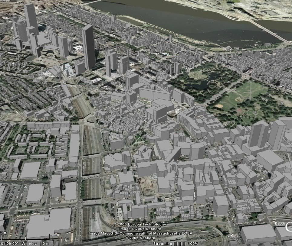
When I find time I'll take more captures and post them in this thread to a few comparisons.
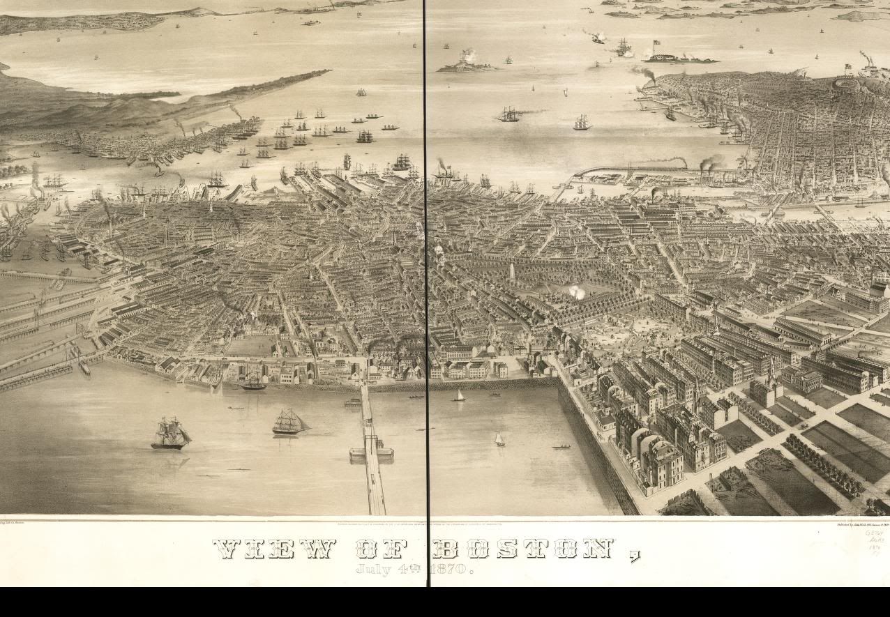
Boston 1870:
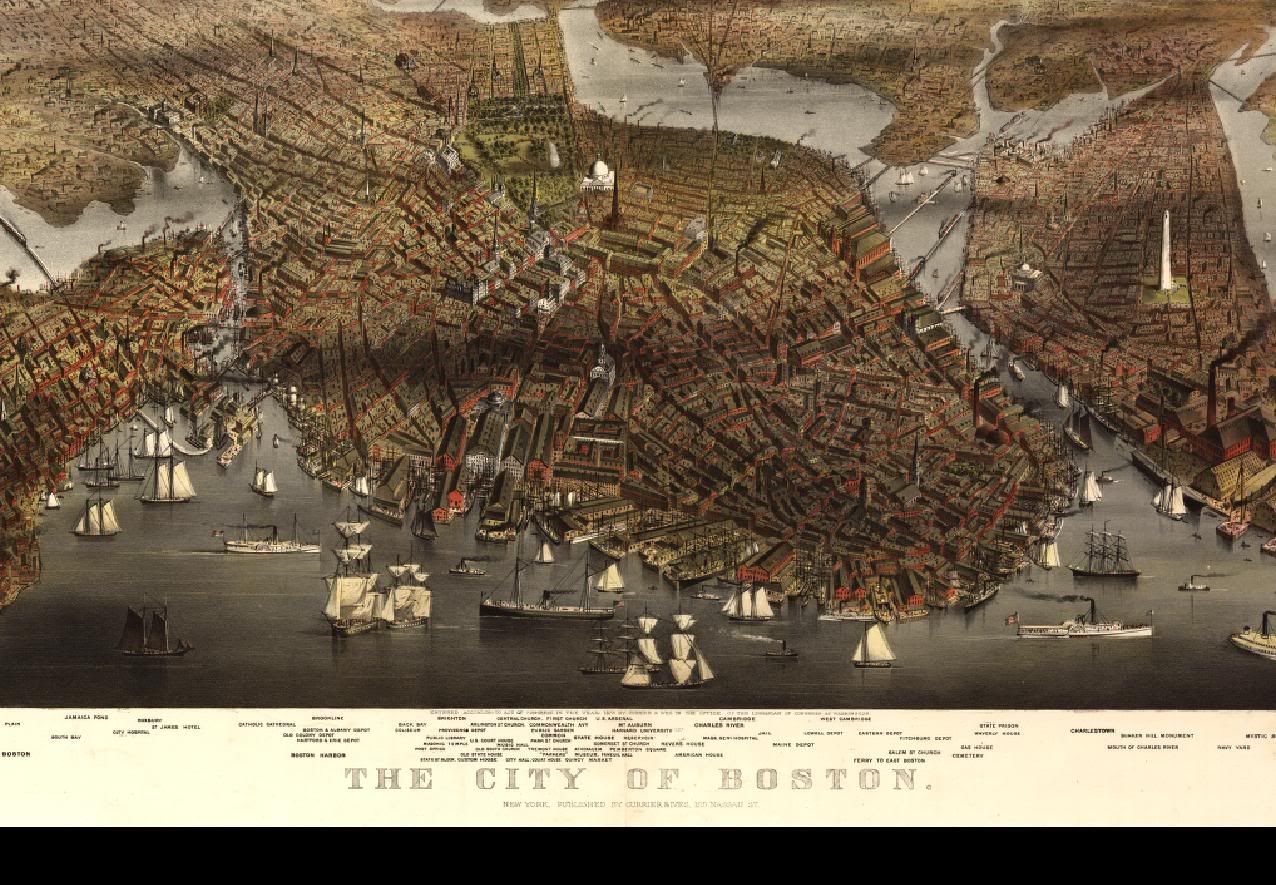
1877:
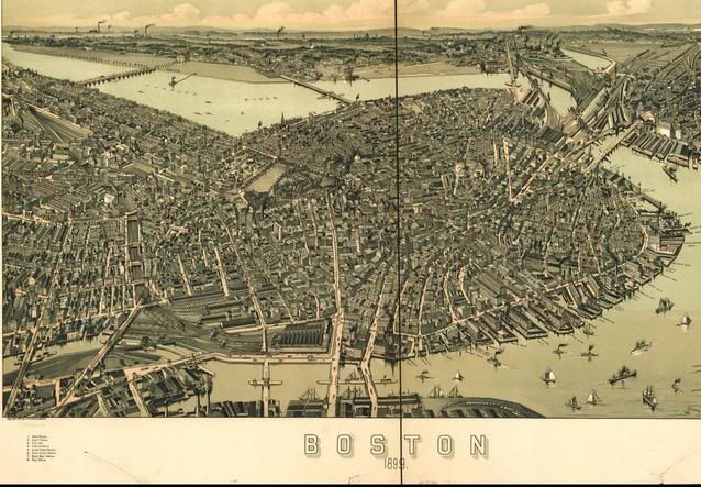
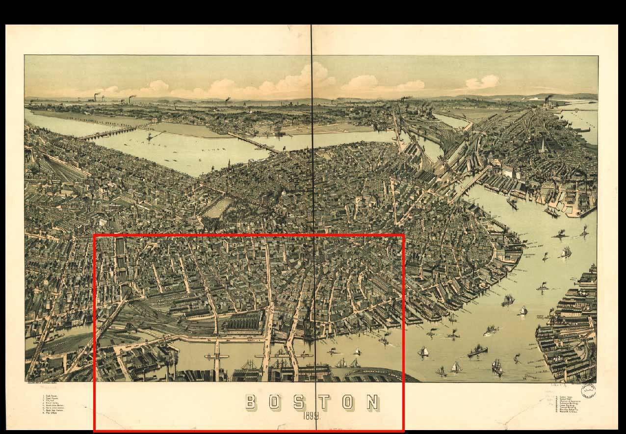
1899:
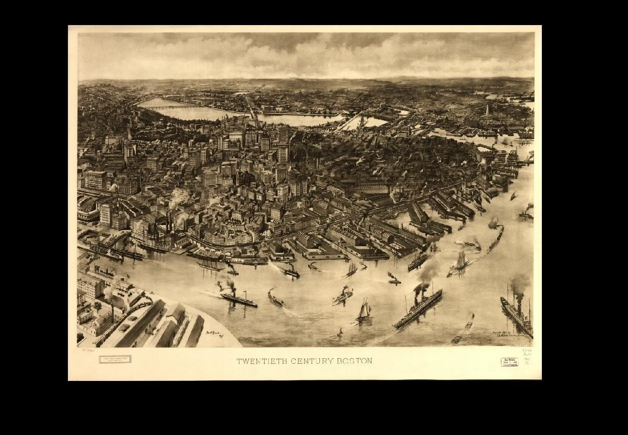
1905, my favorite:
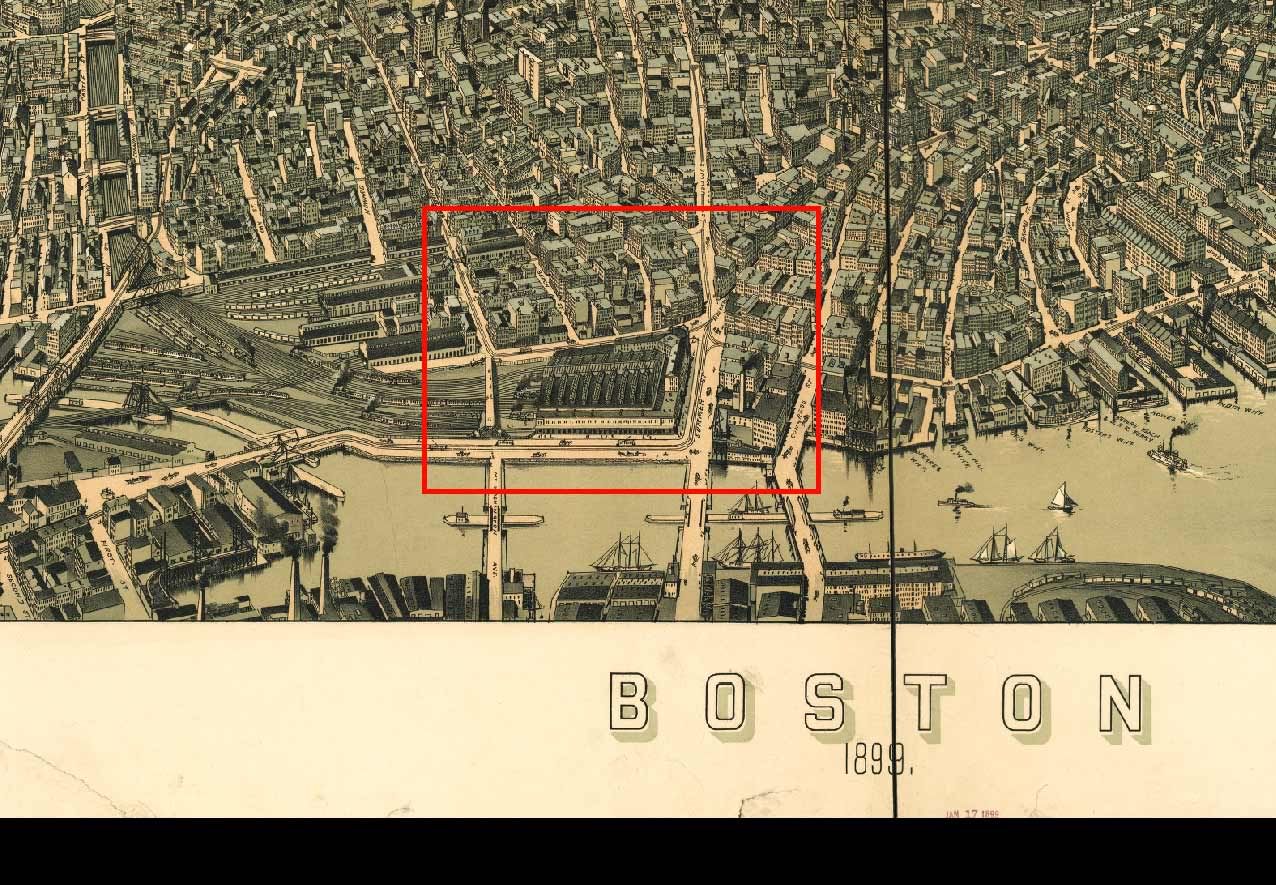
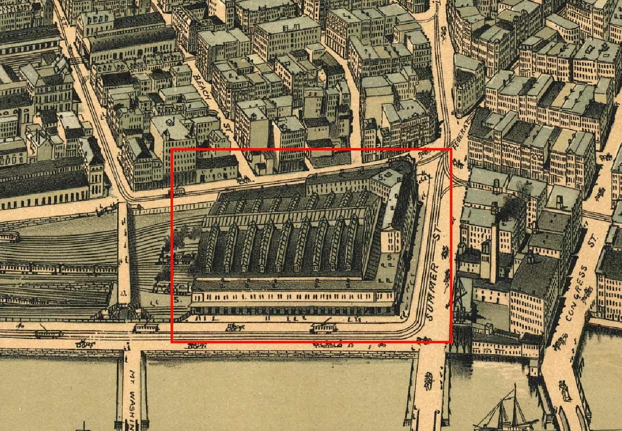
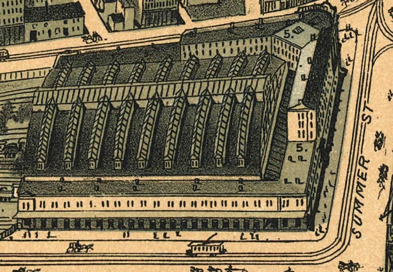
Look at the level of detail in these:
More to come...
Anyway, they're really beautiful, and the level of detail is absolutely amazing. They also serve as a fairly accurate illustration of Boston at their respective times. Just thought I'd share them here. If anyone is interested in the files just PM or email me and I'll gmail them to you.
When I find time I'll take more captures and post them in this thread to a few comparisons.
Boston 1870:
1877:
1899:
1905, my favorite:
Look at the level of detail in these:
More to come...