EdMc
Active Member
- Joined
- Oct 24, 2009
- Messages
- 323
- Reaction score
- 680
I'm assuming this is a new thread because I looked for this subject and did not see a mention. Forgive me if I missed it.
From a "Special Advertising Section", page B5, of the Engineering News-Record, October 19, 2009 issue:
Location: Cambridge to Charlestown
Owner: Massachusetts Highway Department
ARRA Funds: $36 million (American Recovery and Reinvestment Act)
Start date: December 2009 Completion: February 2012
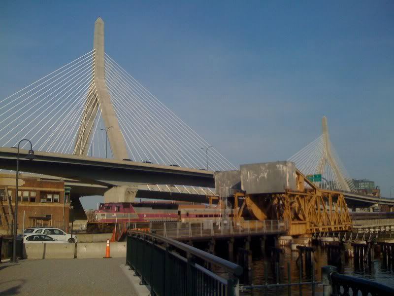
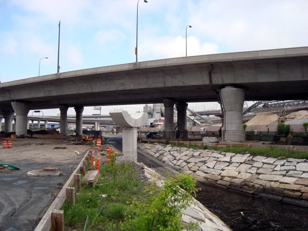
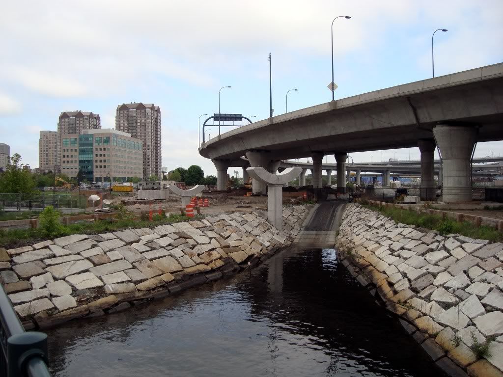
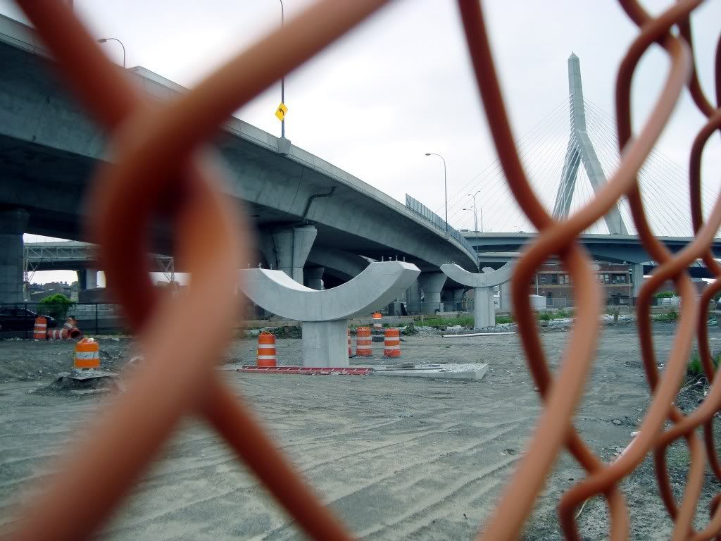
The highway department will construct a 700-ft long, 12-ft wide steel sinusoidal truss bridge on drilled shaft foundations that crosses over commuter rail tracks and the Millers River providing a bicycle/pedestrian connection from East Cambridge to City Square in Charlestown and the waterfront of Boston Harbor. The work also includes installation of a fiber-reinforced polymer bridge deck assembly with polymer concrete wearing surface, sea wall reconstruction, retaining walls and curbing, lighting, subsurface utility work, landscaping and soil remediation and disposal.
There is an accompanying rendering which doesn't show the entire expanse of the bridge and is not very illustrative. The only steel work above the surface appears to be a railing.
From /www.eot.state.ma.us/recovery/:
Project #: 605726
Project: BOSTON- CAMBRIDGE- NORTH BANK BRIDGE CONSTRUCTION, B-16-302=C-01-028, RIVERWALK OVER CHARLES RIVER & MBTA
Description: North Bank Bridge Construction Br. No. B-16-302=C-01-028 River Walk over the Charles and Millers Rivers and the MBTA Railroad (ARRA Project)
Date
Advertised: 2009-09-19 00:00:00
ARRA Amt.
or Est. Cost: $36,578,380.00
From a "Special Advertising Section", page B5, of the Engineering News-Record, October 19, 2009 issue:
Location: Cambridge to Charlestown
Owner: Massachusetts Highway Department
ARRA Funds: $36 million (American Recovery and Reinvestment Act)
Start date: December 2009 Completion: February 2012
The highway department will construct a 700-ft long, 12-ft wide steel sinusoidal truss bridge on drilled shaft foundations that crosses over commuter rail tracks and the Millers River providing a bicycle/pedestrian connection from East Cambridge to City Square in Charlestown and the waterfront of Boston Harbor. The work also includes installation of a fiber-reinforced polymer bridge deck assembly with polymer concrete wearing surface, sea wall reconstruction, retaining walls and curbing, lighting, subsurface utility work, landscaping and soil remediation and disposal.
There is an accompanying rendering which doesn't show the entire expanse of the bridge and is not very illustrative. The only steel work above the surface appears to be a railing.
From /www.eot.state.ma.us/recovery/:
Project #: 605726
Project: BOSTON- CAMBRIDGE- NORTH BANK BRIDGE CONSTRUCTION, B-16-302=C-01-028, RIVERWALK OVER CHARLES RIVER & MBTA
Description: North Bank Bridge Construction Br. No. B-16-302=C-01-028 River Walk over the Charles and Millers Rivers and the MBTA Railroad (ARRA Project)
Date
Advertised: 2009-09-19 00:00:00
ARRA Amt.
or Est. Cost: $36,578,380.00
Last edited: