
RandomWalk
Senior Member
- Joined
- Feb 2, 2014
- Messages
- 2,682
- Reaction score
- 3,450
Revenue Anticipation Bonds probably have covenants that would make it untenable to zero out fare box revenue.
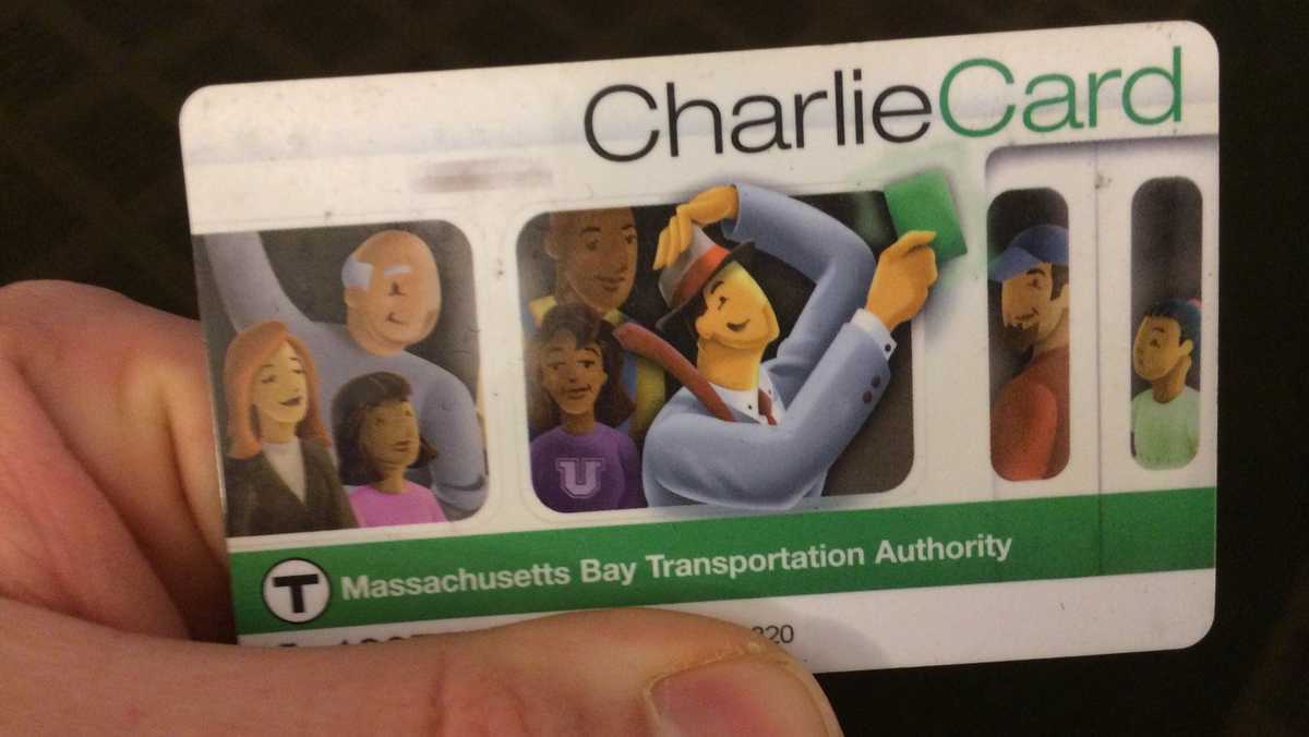
Since they first announced AFC 2.0 what seems like 25 years ago, a common sticker-shock retort was "at this point, couldn't they save money by just eliminating fares?" - if that math didn't check out then, it's on track to by the time this goes live.I agree. This whole process of a transition system with both active seems to be a HUGE waste of money. Is fare evasion that widespread to be losing the millions of dollars spent on this system?
Buses are easier, there's a spreadsheet that has averaged data for every stop of every scheduled bus (And Silver Line) trip for a typical week between 2016-2022. It's 6 million rows which is too big for Excel, so here's a version I've already split into just 2022 and cleaned up. Rapid transit is harder, but you might be able to compare gated entries each half hour with boardings by time period to get some insights on how many people enter Park St and then ride to Harvard, for example. To deal with bus transfers you could potentially look at connecting the bus data with gated entries, but that might get tricky because you would either need to estimate bus travel times or look into this absolutely insane dataset of about 30 million bus arrival/departure times.I'm mulling on a potential fare reform proposal and I've come to an interesting problem: I'm trying to figure out how many transit-using commuters conduct their entire commute on a 1-seat-ride within the "Core", which I'm defining roughly as Sullivan - Harvard - Kenmore - Ruggles - Andrew - Airport - Sullivan (excluding everything north of the Mystic), compared to the number of people who commute across that boundary.
I've looked at the BNRD's travel demand data but it unfortunately looks at commutes of all modes, and I don't think it really can give me the answers I'm looking for. I'm playing around with OnTheMap, but I don't love how many assumptions I'm having to make.
I think in particular this question boils down to how many make the following commutes:
The bus routes are a little bit more tractable due to the Better Bus Profiles (and because the idea I'm toying with can potentially be less reliant on answering this question for buses). But the Red Line stations seem vexing -- the ridership figures the T provides are, AFAIK, unlinked trips, so don't distinguish between riders who walk to the Red Line vs transfer from buses.
- Harvard <> Downtown
- Central <> Downtown
- Kendall <> Downtown
- South End <> Downtown (SL4 + SL5)
- 7
- 8
- 9
- 10
- 11
- 43
- 55
Any ideas?
This is a quicker response than I would have loved, but:I'm mulling on a potential fare reform proposal and I've come to an interesting problem: I'm trying to figure out how many transit-using commuters conduct their entire commute on a 1-seat-ride within the "Core", which I'm defining roughly as Sullivan - Harvard - Kenmore - Ruggles - Andrew - Airport - Sullivan (excluding everything north of the Mystic), compared to the number of people who commute across that boundary.
I've looked at the BNRD's travel demand data but it unfortunately looks at commutes of all modes, and I don't think it really can give me the answers I'm looking for. I'm playing around with OnTheMap, but I don't love how many assumptions I'm having to make.
I think in particular this question boils down to how many make the following commutes:
The bus routes are a little bit more tractable due to the Better Bus Profiles (and because the idea I'm toying with can potentially be less reliant on answering this question for buses). But the Red Line stations seem vexing -- the ridership figures the T provides are, AFAIK, unlinked trips, so don't distinguish between riders who walk to the Red Line vs transfer from buses.
- Harvard <> Downtown
- Central <> Downtown
- Kendall <> Downtown
- South End <> Downtown (SL4 + SL5)
- 7
- 8
- 9
- 10
- 11
- 43
- 55
Any ideas?
 www.wcvb.com
Does anyone know how the T is going to make up for all the credit card transaction fees that the contactless payment will cost them. Moving to a system where every ride is a separate CC transaction is a huge boon to the credit card processing companies (and a huge loss in revenue to the T).From an interview with Eng in the globe:
The other part you mentioned about the contactless payment: That is coming. I’ve been testing that. It’s not as far away as people think. It will be here this year. And the exact thing, as you said, you don’t need an account, you don’t need to buy a card. You could use your Apple Pay, your Google Pay, your Android, your iPhone, or a contactless credit card. . . .
I would assume there is some deal made in private. Honestly I wouldn't be worried about it that much, many of the people paying for single rides with contactless will have just been buying Charlietickets with one or two rides before, so it probably doesn't change a whole lot.Does anyone know how the T is going to make up for all the credit card transaction fees that the contactless payment will cost them. Moving to a system where every ride is a separate CC transaction is a huge boon to the credit card processing companies (and a huge loss in revenue to the T).
Contactless is apparently costing NYC a ton of fare revenue. Don't be surprised if the financial services folks pulled a fast one here. They are much better than the T at these scams.I would assume there is some deal made in private. Honestly I wouldn't be worried about it that much, many of the people paying for single rides with contactless will have just been buying Charlietickets with one or two rides before, so it probably doesn't change a whole lot.
I wonder how contactless fees compare against increased usage & fare evasion. I think just tapping your phone (not even having to activate Apple Pay/Google whatever) makes it so easy to pay that it's a no brainer to take the subway. There's no longer the hurdle of tourists/first time users needing to understand how the charlie card system works, and it gives less reasons to hop a turnstile.Contactless is apparently costing NYC a ton of fare revenue. Don't be surprised if the financial services folks pulled a fast one here. They are much better than the T at these scams.
Not a private deal, the MBTA is explicitly part of the MA statewide contract for Electronic Payment Processing Services. If I've read the cost submittal correctly, every credit card transaction costs the T $0.0738 in processing fees, not including what the networks (Visa/Master Discover) charge. Using Mastercard, their published public sector fee is 1.55% + 0.10. So each $2.40 MBTA Subway fare would cost the T $0.211 to collect.I would assume there is some deal made in private. Honestly I wouldn't be worried about it that much, many of the people paying for single rides with contactless will have just been buying Charlietickets with one or two rides before, so it probably doesn't change a whole lot.
My understanding about OMNY, though, it the cap system actually increases the number of discrete credit card transactions. What used to be a once per month pass transaction becomes a series of discrete ride transactions up to the cap. That is a ton more discrete CC transactions being processed given the large percentage of riders on former passes.Not a private deal, the MBTA is explicitly part of the MA statewide contract for Electronic Payment Processing Services. If I've read the cost submittal correctly, every credit card transaction costs the T $0.0738 in processing fees, not including what the networks (Visa/Master Discover) charge. Using Mastercard, their published public sector fee is 1.55% + 0.10. So each $2.40 MBTA Subway fare would cost the T $0.211 to collect.
But, lets compare that to AFC 1.0, the traditional Charliecard. If every passenger pays for each trip separately on Charlietickets, this would likely remain unchanged under AFC 2.0. But lets take the occasional rider who stores value. For simplicity's sake lets say I put $24, 10 rides, on it. That cost the T 54.5 cents, 2.27% of their fare revenue. a weekly pass is $22.5, costing the T 52.5 cents, or 2.33%. The same 10 rides run as individual transactions would cost the T $2.11 - approximately fourfold increase, now 8.79% of revenue.
What we don't know is how Cubic and the MBTA will run things, or individuals will behave. Are individuals going to get new stored value cards, or still buy passes? or will the convenience of tapping an ApplePay win? - will Cubic aggregate all taps from a single card and run it at the end of each day, so that your round trip is a single charge? Or will the T do what San Diego, and OMNY have done, and introduce a "best value" system, where your charges are capped to a daily/weekly pass? Both of those methodologies could reduce the total number of transactions going through the system. Keep in mind that people moving from weekly passes to 10x individual tickets would still represent an increase in processed charges.
It also means that if you're visiting NYC from a Wednesday to next Tuesday you'll cap twice, which is annoying. Last time I went to NYC I got a Metrocard because it lets you use a 7-day pass starting at any point.My understanding about OMNY, though, it the cap system actually increases the number of discrete credit card transactions. What used to be a once per month pass transaction becomes a series of discrete ride transactions up to the cap. That is a ton more discrete CC transactions being processed given the large percentage of riders on former passes.