Ron Newman
Senior Member
- Joined
- May 30, 2006
- Messages
- 8,395
- Reaction score
- 13
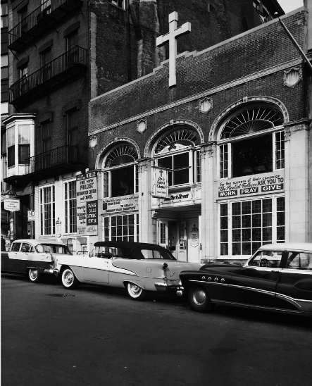
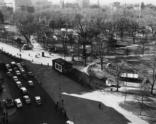
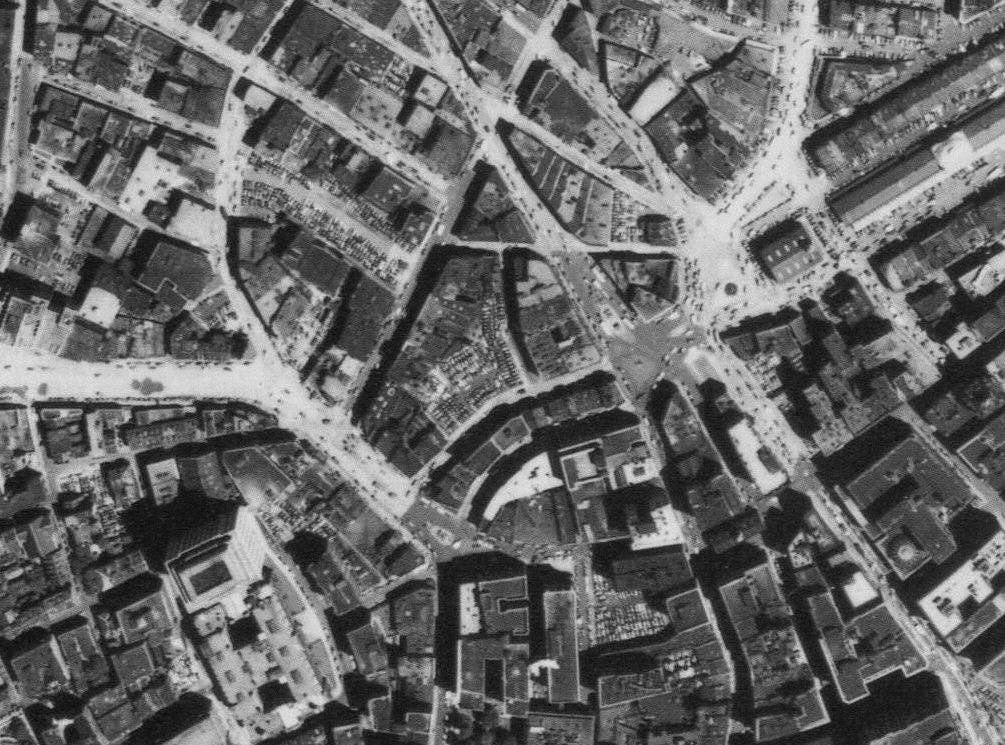
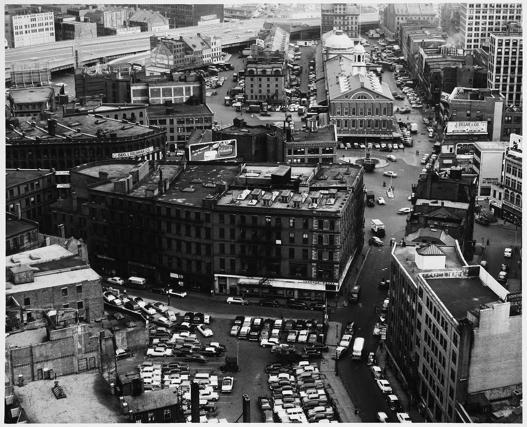
czsz: I see only one tiny little parking lot in the Scollay Square photo, off to the left next to the Telephone building.
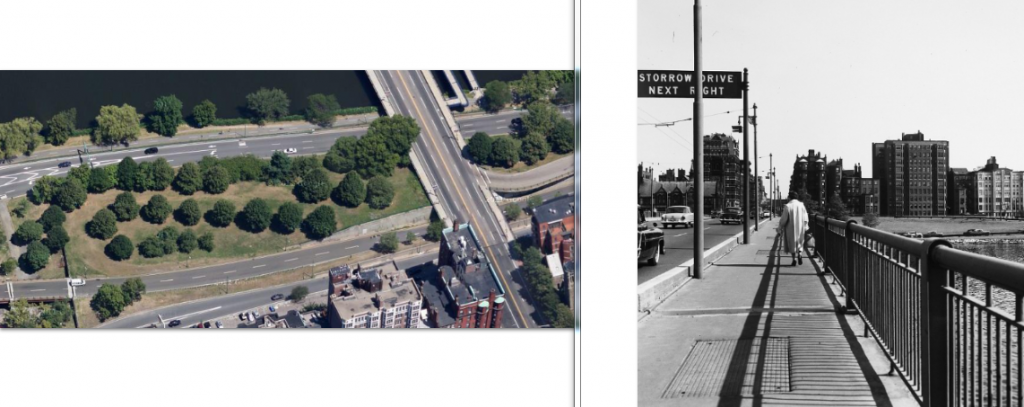
Yeah, strangely enough there was some pro-pedestrian rationale behind a lot of the urban renewal of the 60s and 70s - it reclaimed a lot of public space that had just been turned over to cars without much thought in the preceding half-century or so. All those plazas may be empty, but they're no longer redundant roads.
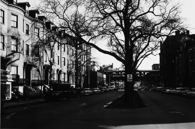
It's too bad it also coincided with the destruction of a lot of city. Imagine if Scollary Square had been Faneuil Hall Market-ized instead of Government Center-ed.