The map was extremely outdated, so i went through the painstaking task of making a new map. This map is updated, but since some lines are stacked, some of them are overlaid by another line.
View attachment 46834 View attachment 46837
I was trying to point out the lack of crosstown routes in the Greater Boston area, due to many of the bus routes only connecting to only a single subway line.
There is a huge lack of high frequency crosstown routes, especially on the north and east side of Greater Boston. Many crosstown routes like the 21, 86, 89, and 110 have poor low frequencies and long headways. Malden Center has no crosstown connection to the Red Line, and the 411 route is extremely indirect and barely runs.
Getting from Cambridge/Davis Sq. over to Malden/Everett/Charlestown is extremely difficult. The 86, 91, and 89 run 35 - 45 minute frequencies midday, evenings, and weekends. This means to get from Harvard to Sullivan, the faster route would still be to travel all the way to Downtown Crossing, then travel back northbound on the Orange Line. This trip would take about 30 minutes, versus waiting 35 minutes for the next 86 bus and a 20 minute bus ride to Sullivan.
Similarly, it takes about 43 minutes to get from Davis to Malden Center, via Downtown Crossing. The same route via the buses would be very untenable, as it requires a bus to bus transfer, given 30 - 45 minute frequencies for many of the buses in Medford, which are all hourly at best on evenings and weekends. Medford/Tufts to Malden Center is also awful. The route for this commute is extremely indirect, as it requires travel all the way to North Station for a transfer, and back out to Malden. This trip is about 38 minutes for what is a 13 minute drive.
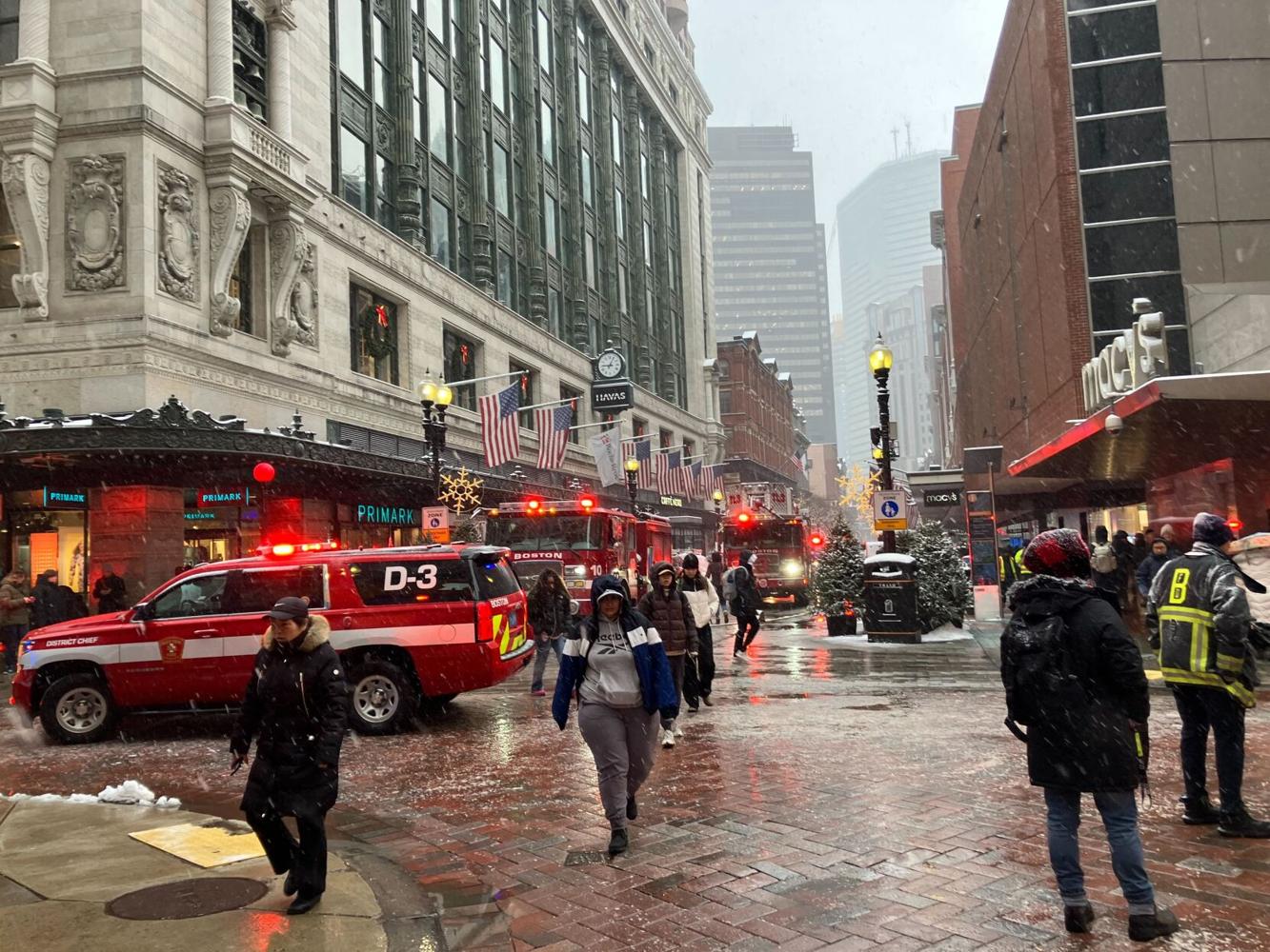
Crosstown routes would remove some of the pressure from the downtown core. The current bus feeder system means there is a single point of failure of the entire MBTA system in the downtown core. If the downtown core has a systemic failure like what happened today. That basically makes any crosstown trip extremely difficult, if not almost impossible. The existing crosstown connections are extremely insufficent and inadequate. Improving crosstown routes, especially on the northern side around the Orange Line, could alleviate some of the pressure and divert at least a few commuters onto ring bus routes, and away from the rail replacement shuttle buses, if the frequencies are significantly improved. As seen in the map posted earlier today, after 3 subway lines were all taken offline, it was almost impossible to get from one side of downtown, to the other, and the only alternative was to gamble with the poorly run shuttle buses.