wilkee
New member
- Joined
- Aug 26, 2019
- Messages
- 25
- Reaction score
- 55
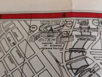
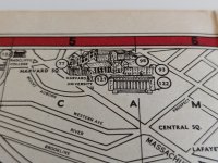
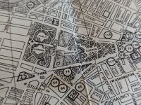
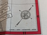
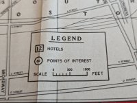
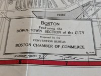
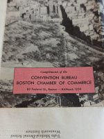
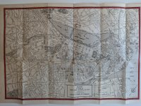
While going through a relatives old things, we came across this interesting street map made by the Convention Bureau of the Boston Chamber of Commerce in 1946. I have included some photos of it below along with a link to a PDF scan of it.
Link: https://drive.google.com/file/d/1nn5-X1P5hp7BQ_6fhkDOlIyuYH75FJHj/view?usp=sharing
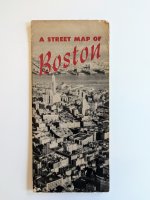
Link: https://drive.google.com/file/d/1nn5-X1P5hp7BQ_6fhkDOlIyuYH75FJHj/view?usp=sharing

Attachments
-
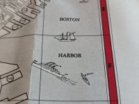 PXL_20241107_191742724.MP.jpg5.5 MB · Views: 84
 -
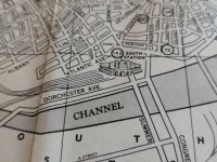 PXL_20241107_191732845.MP.jpg4.9 MB · Views: 84
 -
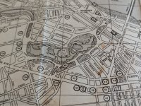 PXL_20241107_191722620.MP.jpg5.9 MB · Views: 82
 -
 PXL_20241107_191711222.MP.jpg4.7 MB · Views: 79
 -
 PXL_20241107_191708335.MP.jpg5 MB · Views: 82
 -
 PXL_20241107_191704384.jpg2.7 MB · Views: 85
 -
 PXL_20241107_191657712.MP.jpg4.9 MB · Views: 73
 -
 PXL_20241107_191653170.MP.jpg4.1 MB · Views: 62
 -
 PXL_20241107_191648963.jpg2.2 MB · Views: 64
 -
 PXL_20241107_191630979.jpg2.9 MB · Views: 77
 -
 PXL_20241107_191250354.jpg4.1 MB · Views: 83
