Technically, yes, but it's not a good connection for a couple of reasons:
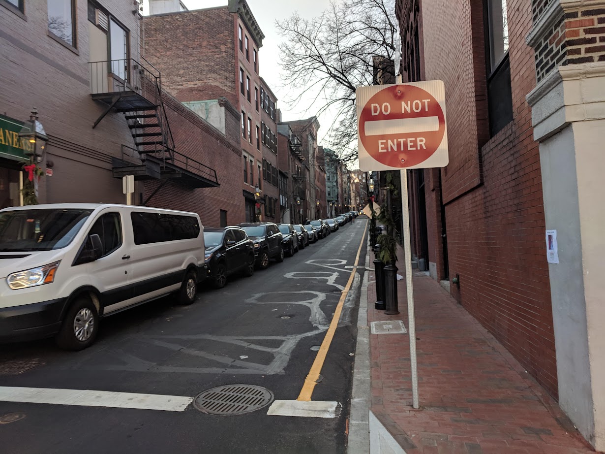
First, no matter what you do for safety, Mass Ave is always going to be busy, with lots of lights, start-stop, tons of pedestrians and lots of turning cars. If I can avoid Mass Ave, I will always avoid Mass Ave. But don't get me wrong: it definitely needs safety improvements and should also be a major and safe N-S conduit for bikes, ASAP. Second, the ramp from Mass to the river path is annoying and the river path itself, although, very beautiful, is not my preferred route if Im trying to be efficient. And the city shouldn't be telling people coming from the southwest that the river, way up north, is the sole east-west conduit for people who are really trying to go SW-NE. I spent many years biking to MGH from JP and the quickest route is SWC->Columbus, then left on Charles and yes, I just biked against traffic on the main portion of Charles St.
Lastly, Charles St is ridiculously wide for its entire length, both sides of Boylston, and the city has long had a plan to put cycle tracks on it, at least from Boylston to Charles/MGH Station. Factoring in that Columbus is a generally less-used roadway (lots of redundancy with Tremont, Harrison, Washington etc) and a direct continuation, direction-wise, of SWC, makes this a roadway screaming for being made into a major bike route from the SW urban suburbs into downtown.