Biking in Boston

I've got this Bike Safety pamphlet I finally found again. Somerville police were recently handing these out, so I grabbed one. I love this section showing how to ride in a painted bike lane. It shows that if you ride too close to the cars, you can get doored (correct). So the diagram shows someone "safely" biking far to the left of the bike lane, one arm into the car travel lane (super dubious advice). The text explains all this, then adds that sometimes you should just bike in the road to stay safe (Yup).

It's pretty weird to see this admission that some of the bike lanes aren't safe for bikes, and you can/should just ignore them.

PXL_20230927_235737669~2.jpg
 
All of the things said are valid and true, but the worst thing about Comm Ave isn’t even mentioned and that’s trying to go left onto Mass Ave when coming from Back Bay. It’s a common movement and it’s a death trap.
The goal of a safe bike corridor on Mass Ave has come a long way, but truly falls apart with the way any of the intersections are designed--the Mass+Huntington one is bad, the Comm Ave one is bad, the Columbus one is bad. At least you can join the SW corridor from Mass Ave SB ahead of Columbus, but the wayfinding there is so bad, I biked there for years and wasn't even aware of that connection.
 
I've got this Bike Safety pamphlet I finally found again. Somerville police were recently handing these out, so I grabbed one. I love this section showing how to ride in a painted bike lane. It shows that if you ride too close to the cars, you can get doored (correct). So the diagram shows someone "safely" biking far to the left of the bike lane, one arm into the car travel lane (super dubious advice). The text explains all this, then adds that sometimes you should just bike in the road to stay safe (Yup).

It's pretty weird to see this admission that some of the bike lanes aren't safe for bikes, and you can/should just ignore them.

View attachment 43065
This is on brand for Somerville PD given their recent stint of pulling over cyclists for biking safely through walk signals rather than going with auto traffic. Really bad victim blaming mentality here, why not put these on car windshields instead?
 
I've got this Bike Safety pamphlet I finally found again. Somerville police were recently handing these out, so I grabbed one. I love this section showing how to ride in a painted bike lane. It shows that if you ride too close to the cars, you can get doored (correct). So the diagram shows someone "safely" biking far to the left of the bike lane, one arm into the car travel lane (super dubious advice). The text explains all this, then adds that sometimes you should just bike in the road to stay safe (Yup).

It's pretty weird to see this admission that some of the bike lanes aren't safe for bikes, and you can/should just ignore them.
View attachment 43065
They are basically saying that the bike lane isn't really four feet wide, just 18 inches. To which I say, yeah, that's accurate, and follow-up with asking when the hell they plan to fix the width to include a full bike lane + door zone buffer?
 
They are basically saying that the bike lane isn't really four feet wide, just 18 inches. To which I say, yeah, that's accurate, and follow-up with asking when the hell they plan to fix the width to include a full bike lane + door zone buffer?
The distribution of such a dangerous document is an act that could easily result in litigation against the municipality. I would save this for future use.
 
The goal of a safe bike corridor on Mass Ave has come a long way, but truly falls apart with the way any of the intersections are designed--the Mass+Huntington one is bad, the Comm Ave one is bad, the Columbus one is bad. At least you can join the SW corridor from Mass Ave SB ahead of Columbus, but the wayfinding there is so bad, I biked there for years and wasn't even aware of that connection.

This is super true--I commute on Mass Ave and while the portions that are protected are nice, basically every single intersection is completely unprotected. Plus, the stretches of painted bike gutters or door zones that appear for no apparent reason (to the rider) before turning protected again (e.g. westbound starting with Berklee's campus until the Mass Ave bridge) make the whole area fairly uncomfortable and dangerous despite the high bike volumes.
 
This is super true--I commute on Mass Ave and while the portions that are protected are nice, basically every single intersection is completely unprotected. Plus, the stretches of painted bike gutters or door zones that appear for no apparent reason (to the rider) before turning protected again (e.g. westbound starting with Berklee's campus until the Mass Ave bridge) make the whole area fairly uncomfortable and dangerous despite the high bike volumes.
It's very frustrating--the city has incredibly low-hanging fruit on these corridors that would make them much safer and accessible for anyone who wants to bike to take them, and they drag their feet on it. The intersection issues could be fixed by leading/trailing turns and signal separation, as they already do on Beacon, (and only because of a cyclist death there) and yet there's no meaningful movement on it. The goal of a better bicycling network isn't just to make existing commuters feel safer, it's to make anyone who wants to commute by bike to be able to do so.
 

I think the most maddening thing about this that people have pointed out is that the bike lanes that were built took a long community input process, but the decision to remove them gave no notice/community input period. It just goes to show that the community input process is a sham.

I really thought the examples of other cities across the country moving backwards on bike lanes, with removals like this, was something we might be safe from here 🙃
 
Hmm, I could certainly be wrong, but my recollection is that there was no community input process on the bike lanes. I remember the install as a quick build/pandemic initiative to collect data while a more thorough re-design would be done, which did indeed solicit significant feedback. I don't know what is the status of the latter, but I'm pretty sure the current lanes were never meant to be permanent.
 
  • Like
Reactions: FK4
Here's the Streetwise article about removing the bike lanes, with links to info about history of project

Also, a state rep is saying on twitter that bike lanes aren't being removed. Maybe just the buffer is being removed? Which is also bad. Nobody really seems to know what's going on
 
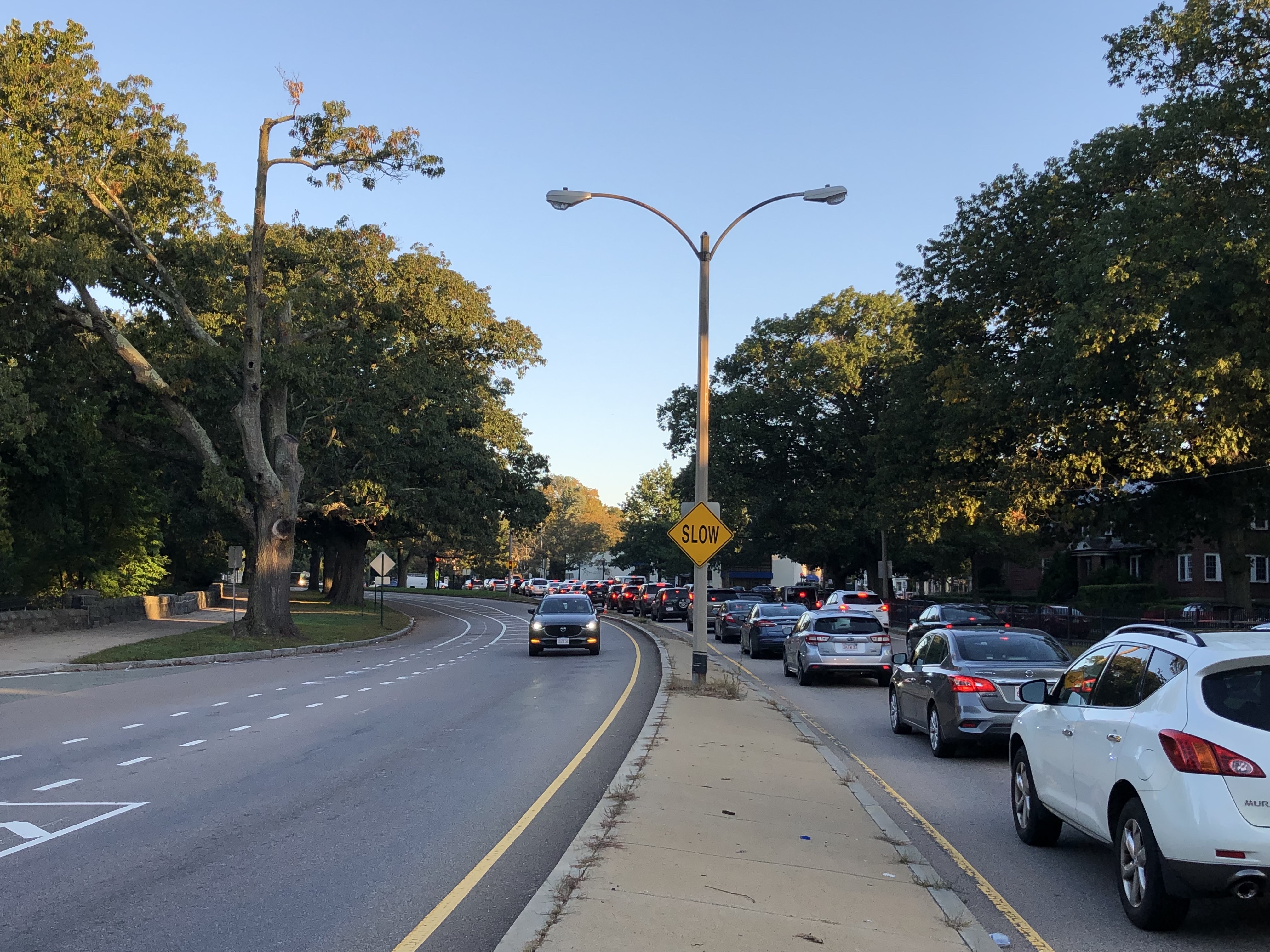
Honestly, it would probably be safer to have no lanes than have a lane with little to no buffer on this road. Cars go fast and there's lots of curves.
 
Honestly, it would probably be safer to have no lanes than have a lane with little to no buffer on this road. Cars go fast and there's lots of curves.
The road is in need of a proper bike path extension from Jamaica Pond all the way to Forest Hills here--it would stitch a currently disconnected part of the Emerald Necklace together and a proper connection to the Southwest Corridor would be huge. But at DCR's pace and priorities here, I'm not holding out hope.

I know there was a proposal in place to redesign Murray Circle anyways, has that been shelved? That thing is a death trap.
 
This was a really bizarre thing. It's quite odd to announce a change solely with a traffic advisory, but the whole "DCR is removing a bike lane for cars" narrative was just pearl clutching. It was never happening. However, there were some photos posted of the layout lines that looked a little strange. I don't understand why they refused to post the plan or provide any additional information on HOW they plan to add this lane without negatively impacting other users.
 
Honestly, it would probably be safer to have no lanes than have a lane with little to no buffer on this road. Cars go fast and there's lots of curves.
Agreed. The buffered lanes were actually not the first Arborway bike lanes. There was an earlier effort that was just a narrow lane up against the curb, right next to a since removed lane of traffic. It was a pretty uncomfortable place to ride. One thing about the current re-striping is that it is only for a very short distance, just the 500 feet between the rotary and Arbs entrance. My hope is that they are eliminating parking, since they have now explicitly said the bike lane will be preserved. I don't see a way to add the traffic lane without either removing parking or rendering the bike lane dangerously exposed.
 
Push the sidewalk back up against the tree line from the rotary to the existing stone wall and put the bike lane where the sidewalk was, when the stone wall starts and it needs to kick back out the bike lane hugs the curb
 
  • Like
Reactions: FK4
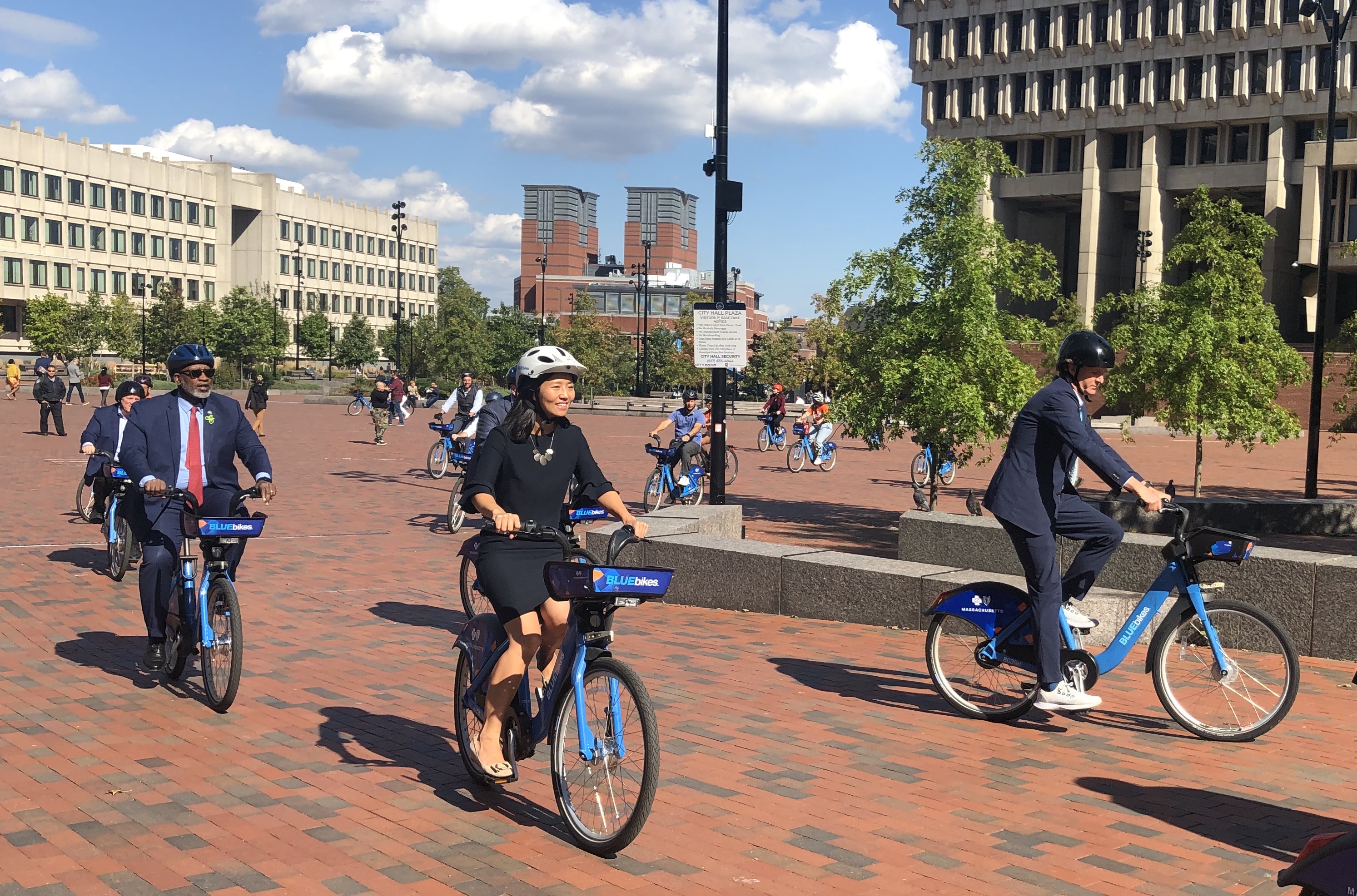
Mayor Wu announced partnership with Bluebikes to reduce the cost of an annual pass to $60 and basically free for low-income residents.

This is great that it prices the bikes clearly under the cost of the (struggling) T for a commuting pass. There are still some gaping holes in dock locations such as beacon hill, north back bay, and southie. I'd imagine the existence of a bike dock would reduce the demand for parking by far more than the ~2 spaces it takes up. Also, the usage of bluebikes as a "passholder" is much smoother and less clunky than a one-time user (having to buy a pass for each single ride creates hassle/cost that discourages its use). I would set the pricing at $5 for any single full day pass (which falls below a round-trip T ride), $15 for a monthly pass, and $60 for the annual.
Can’t wait for this to be implemented after the study period and neighborhood outreach period end in 2045!
 
"A plan to restore Linear Park between Alewife and Somerville has been in the works for nearly two years with a redesign that would have widened the paved path and added seating, play areas and lighting. " https://www.cambridgema.gov/-/media...k/linearpark_cppmeeting_october2023_final.pdf


Back
Top