
briv
Senior Member
- Joined
- May 25, 2006
- Messages
- 2,083
- Reaction score
- 3
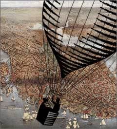
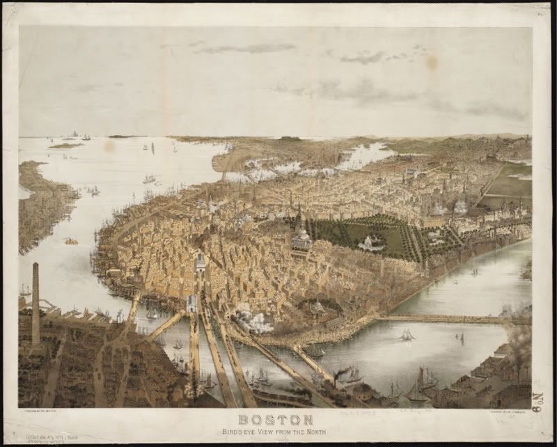
A Bird?s Eye View of New England
January 8 through June 30
1st Floor McKim Building, Copley Square
[FONT=verdana,helvetica,arial][SIZE=-1]Up, up and away! The Norman B. Leventhal Map Center at the Boston Public Library presents great bird?s eye view maps of the 19th century and celebrates their recent preservation.
[/SIZE][/FONT]
Unlike conventional flat maps, bird's eye views are a fascinating kind of specialty map that presents an urban area as if the observer hovered over the community at an elevation of 2,000 to 3,000 feet. The town "below" appears as if in a kind of imaginative snapshot of an historical moment, revealing the factories, homes, parks, cemeteries, churches, even details of vernacular architecture. The story told in the exhibit is of the growing economic vitality and urbanization of the Boston and New England region during the last half of the 19th century, when industrialization and immigration were the primary engines of urban growth.
This free exhibit at the Boston Public Library, Copley Square will run daily from January through June 2008. A virtual tour of Boston and Beyond will appear on our website when the exhibition opens in January 2008. In February 2008 you will be able order beautiful reproductions of maps on our website.
Central Library Hours
Monday - Thursday
9 a.m. - 9 p.m.
Friday & Saturday
9 a.m. - 5 p.m.
Sundays
1-5 p.m.