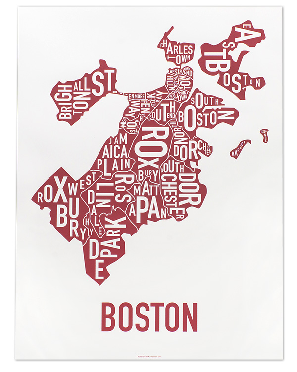
I don't think you can really pull any conclusions about Hyde Park, Roslindale, and West Roxbury. I think most people, even on this board, would be hard pressed to draw definitive boards for them on a map, I know I couldn't. The more interesting aspects are where the boarders overlap/don't follow a road (Roxbury, Dorchester, Mission Hill, JP), and where those areas that didn't fall into the neighborhood designations (longwood, stuart st., seaport). My guess is the non-consensus areas are the way they are because people think of them as distinct neighborhoods, even if the city doesn't recognize them as such.