Commonwealth Avenue Improvement Project

Just got this update:

Commonwealth Avenue Project Update- April 11, 2008

Effective immediately, the left turn lane on the outbound side of Commonwealth Avenue at Sherborn Street has been permanently eliminated as part of the Commonwealth Avenue Improvement Project. The next left turn lane on the outbound side of Commonwealth Avenue is located at St. Mary?s Street in front of Marsh Chapel.

Facilities Management and Planning

I think they mean the blandford street corner, and yes, the turn light has been disabled. This mean inbound and outbound get green at the same time now, and the T doesnt have to wait 20 seconds for turning cars.

I did however see a few cars making the left turn illegally, they need a sign which says no left turns.


Anyway, this is excellent news, and this is something Ive been complaining about for years. Im glad they finally got rid of that turn.
 
Yup, it's technically Sherborn St on the outbound side and Blandford St on the inbound side. This is definitely an improvement. The T trolleys would often have to wait 20-30 seconds for 1 lousy car to make a left hand turn there.
 
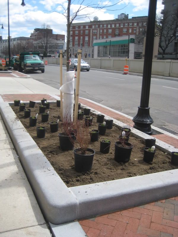
I took my dog for a walk through BU today--it is amazing what a few trees can do to a streetscape. It is really coming together now.
 
I was down in that area last night for the game, and I will second bdurden's remarks on this one. The green stuff needs to grow in a little, but this, on the whole, seems like it was very worthwile (I only saw a small portion of the project, however).
 
The trees should have leaves within 2 weeks thanks to the temperatures were having, and Ill definitely have pics of that.

Also, google maps has views from right before construction started, so those who want a before and after can look at that.
 
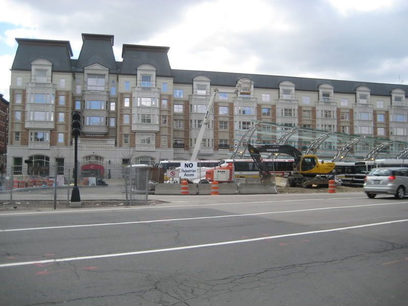
Newest pictures. Im going to keep including the kenmore updates with CAP because they have more in common with the street than with the MBTA station

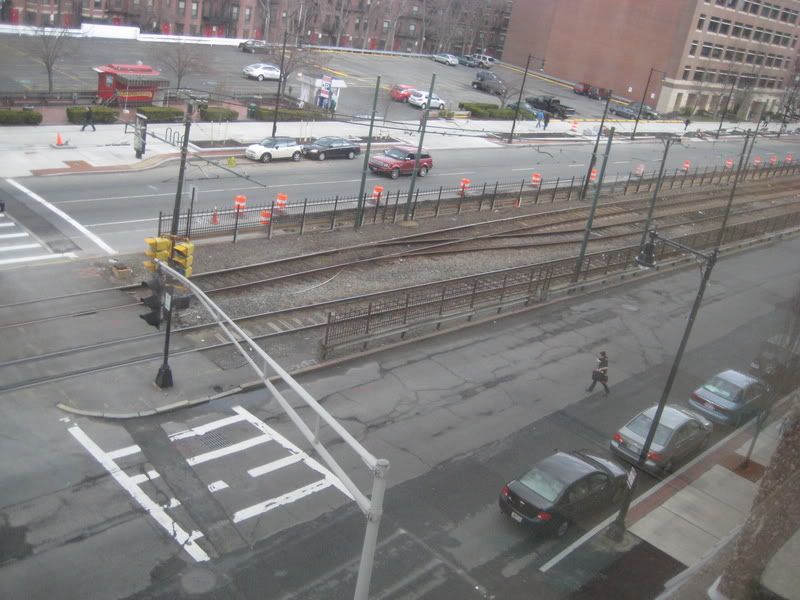
From above
IMG_3465.jpg


New plants going in today
IMG_3466.jpg


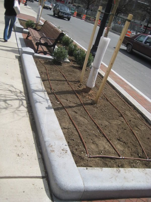
IMG_3467.jpg


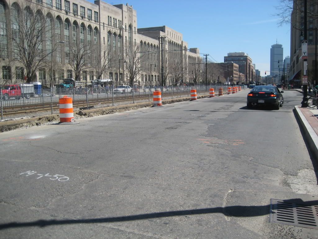
I have no clue what theyre doing
IMG_3468.jpg


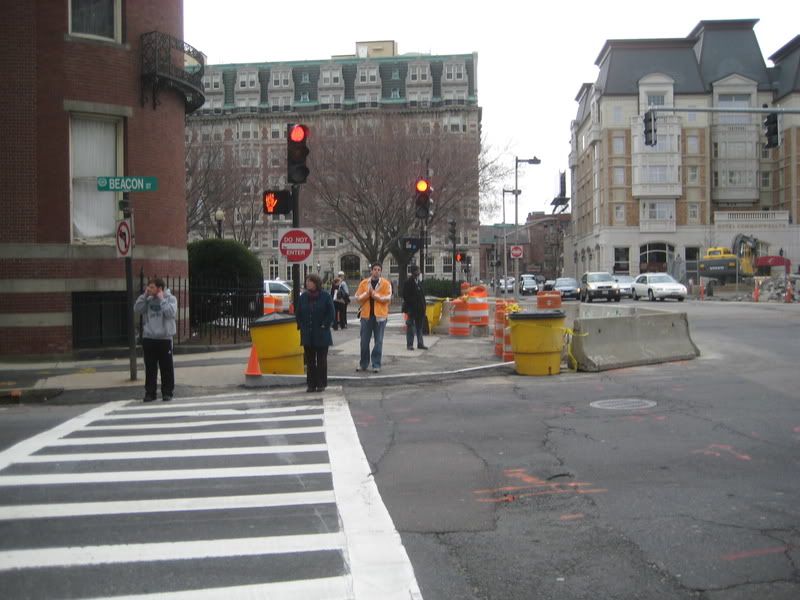
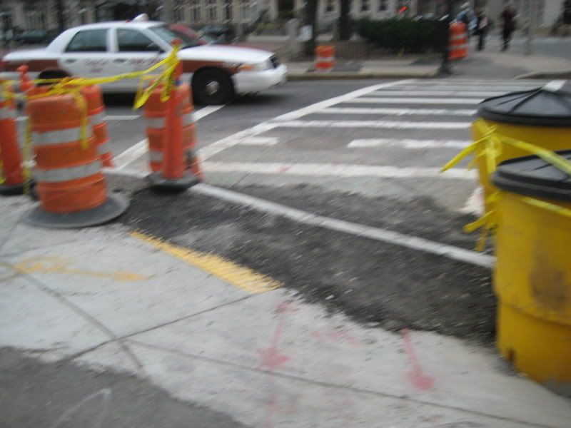
Theyre expanding the sidewalk here as well
IMG_3409.jpg


It came out blurry, as I was walking, but you can see the old sidewalk and the new one. Sadly, that yellow strip was installed only a few months ago. Another case of the left and right arm not communicating.
IMG_3410.jpg
 
I was walking on beacon street a couple of days ago, and noticed the nice bike lane, pretty sidewalk and decorative planters, and then just now with google maps noticed that none of that existed 6 months ago.

WTF, why was there a Beacon Ave Improvement Project, but no news about it here?

Check out maps.google.com in satelite view, right where the c-line pop out. That shows the old street. Then click street view, and you see a gravel street, completely under construction. Go now, and it's all done (much faster than comm ave).

because it is brookline, reaping the benefits of saying no to annexation 150 years ago.

trust me, it wasnt fast... must of taken about a year and a half to two years to finish the whole project from Cleveland cir to st marys. i live in washington sq, and work lasted for about 4-5 months for a six block stretch.
 
It took two years to complete the Beacon Street project. The project realigned the road way to two lanes of traffic in either direction, added bike lanes in certain sections, a ton of new signals were added (yet to be synchronized) and sidewalks and new lighting were put in place in the three commercials areas.

Little do most people know but this summer Beacon Street will be ripped up to replace the sewage pipes from St. Paul St. to St. Mary's.
 
Is it just between those two locations? It looks like they are ripping up the sewer in Cleveland circle soon.
 
Is it just between those two locations? It looks like they are ripping up the sewer in Cleveland circle soon.

Apparently they already laid new piping on the rest of Beacon St. before it was reconstructed, except between St. Paul and St. Mary's. The town says the reconstruction occurred too fast, hence they have to tear up the newly paved roadway.

Cleveland Circle is in Brighton, so I don't know if the work there is related to the new sewage system...
 
It took two years to complete the Beacon Street project. The project realigned the road way to two lanes of traffic in either direction, added bike lanes in certain sections, a ton of new signals were added (yet to be synchronized) and sidewalks and new lighting were put in place in the three commercials areas.

Little do most people know but this summer Beacon Street will be ripped up to replace the sewage pipes from St. Paul St. to St. Mary's.

I remember reading about the new traffic signals (and how the MBTA opted out of having signal priority) but I didnt realize it was part of a huge upgrade.

Why didnt the brookline forum members keep us updated?
 
Does anyone know how the new trees along CAS are going to affect or be affected by the older ones already towering over them?
 
Does anyone know how the new trees along CAS are going to affect or be affected by the older ones already towering over them?

Street trees come and go.

Last year, trees were planted in front of warren, and removed 6 months later when they had to dig things up again.

I dont think the city or planners care.
 
^I doubt they plan to tear up these trees in a few years--especially considering they've built these tree beds for them.
 
^I doubt they plan to tear up these trees in a few years--especially considering they've built these tree beds for them.

I dont think theyll remove them, but the point is if they die theyll (eventually) replant new ones.

Kenmore square lost 4 trees last week coincidentally. I dont know why they were removed.
 
There's no need for a separate thread on this, and this is as good a place as any to post this. Land-building in Boston to continue?

BU revs up riverside vision
By Andreae Downs, The Boston Globe

Thomas Vitolo said that when he lived near Commonwealth Avenue and Mountfort Street, he often heard brakes screeching, followed by "thump, thump, thump" at around 2 a.m. on Saturdays and Sundays.

The thumping part was a pedestrian being hit, he told Brookline selectmen last week.

Partly because of such "conflicts," as traffic engineers call them, and because Boston University's campus extends on both sides of this interchange, the university wants to see the area redesigned for pedestrian and bicycle safety, said Michael Donovan, the school's vice president for real estate management.

"This is an issue of campus safety for us," Donovan said during the Brookline selectmen's weekly meeting. "We think now is a good time to plan, as the state is looking at making [transportation] improvements. We don't profess to have all the answers, and invite the community to test our data and assumptions."

In the first of what will undoubtedly be many community meetings, BU presented its 24 months of traffic studies and ideas for improving the interchange, a forbidding stretch of overpasses, dangerous crosswalks, merging traffic, and crumbling concrete.

The most dramatic part of BU's vision includes building wide platforms over the Massachusetts Turnpike and Storrow Drive. Renderings show the platforms containing 8 acres of open space and unspecified buildings. The idea is to enhance pedestrian and bike access to the Charles River, said Ken Greenberg, the master planning consultant to BU. "This could create a true gateway to the river and its trails," as well as to Brookline.

Mountfort would become an arterial between the BU Bridge and the Longwood area at Park Drive, with fewer access points and less infusion of traffic into residential areas. A separate bridge for buses and bikes would take that traffic out of the mix, too.

Another feature, Greenberg explained, would be a transit hub accessed from a pedestrian deck at Commonwealth.

The hub would include links to the "C" Green Line, commuter rail, bike trails, and the much-debated Urban Ring - a bus or light-rail connection of the neighborhoods surrounding Boston's downtown, set to roll out around 2020.

According to BU's data, about 10,000 cars use Mountfort daily, 13,000 use Brookline streets to get to the interchange, 16,000 pedestrians cross at Commonwealth daily, and the number of accidents in the interchange are "among the highest in the city."

Those numbers will rise, Greenberg said, if planned developments get built, including at least 10 million square feet at Harvard's North Allston campus.

"If proposed state infrastructure improvements are handled correctly," he said, "it could make a significant improvement here."

Stressing that the renderings he presented were merely ideas to be discussed, Greenberg said, "we hope that out of this we can begin a relationship to define common goals and identify opportunities."

http://www.boston.com/news/education/higher/articles/2008/04/20/bu_revs_up_riverside_vision/
 
Theyre digging on the inbound side as well.
IMG_3469.jpg


This has nothing to do with CAP, but WTF?
IMG_3471.jpg
 

Back
Top