You are using an out of date browser. It may not display this or other websites correctly.
You should upgrade or use an alternative browser.
You should upgrade or use an alternative browser.
Conley Terminal Capital Projects
- Thread starter PaulC
- Start date
stevebikes
Active Member
- Joined
- May 14, 2013
- Messages
- 277
- Reaction score
- 103
Note, not a single truck on E Frist on a Thursday at about 1PM.
The old Conley entrance seems to be closed to all vehicle traffic now, not just trucks, so there's even less traffic on 1st/Farragut/Shore Drive now that just removing the trucks.
AmericanFolkLegend
Senior Member
- Joined
- Jun 29, 2009
- Messages
- 2,214
- Reaction score
- 248
For some reason this park and the mixed use path are surrounded by a fence with gates that are closed at night.
Why aren't people allowed to bike home safely at night?
Is it supposed to be a mixed-use path or is it supposed to be a pedestrian path?
Joel N. Weber II
Active Member
- Joined
- Aug 30, 2015
- Messages
- 603
- Reaction score
- 13
http://www.massport.com/conley-terminal/at-the-terminal/guidelines-for-truckers/ says truckers can pick up and drop off containers between 8 AM and 5 PM Monday through Friday. Does it make sense for those hours to overlap with rush hour?
Joel N. Weber II
Active Member
- Joined
- Aug 30, 2015
- Messages
- 603
- Reaction score
- 13
Re: Flashing Yellow Turn Arrows
The Cedar St / Summer St light in Somerville, for traffic coming from Union Sq headed towards Davis, now has the usual three round bulbs red over yellow over green, plus a fourth bulb which is a yellow left arrow at the bottom that flashes simultaneously with at least some of the green time, and I don't think there's a dedicated left turn lane there.
(And maybe there's a better term than bulb?)
Flashing yellow arrows require left turn lanes. Does this provide a left turn lane on Summer Street?
The Cedar St / Summer St light in Somerville, for traffic coming from Union Sq headed towards Davis, now has the usual three round bulbs red over yellow over green, plus a fourth bulb which is a yellow left arrow at the bottom that flashes simultaneously with at least some of the green time, and I don't think there's a dedicated left turn lane there.
(And maybe there's a better term than bulb?)
- Joined
- Jan 7, 2012
- Messages
- 14,072
- Reaction score
- 22,823
- Joined
- Jan 7, 2012
- Messages
- 14,072
- Reaction score
- 22,823
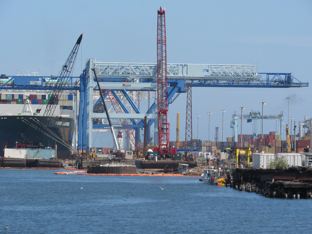
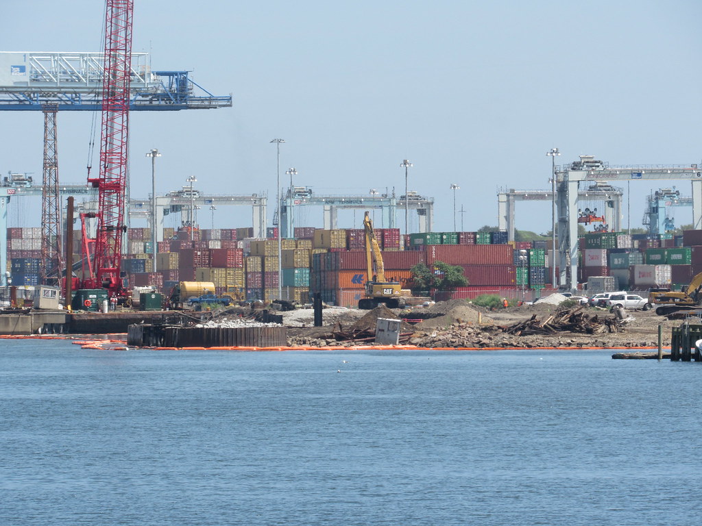
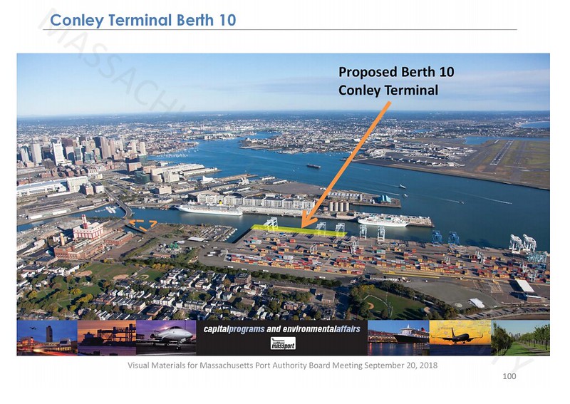
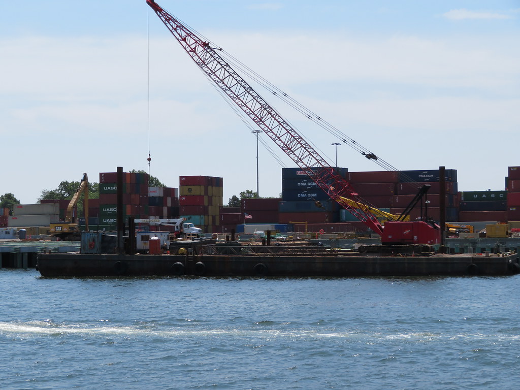
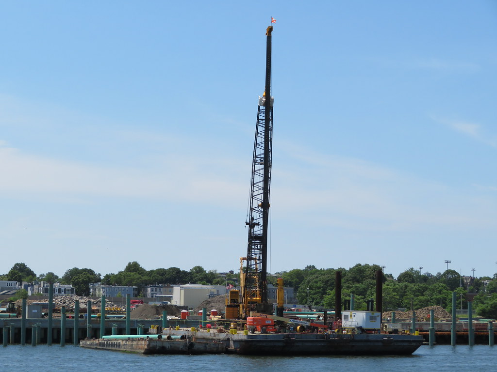
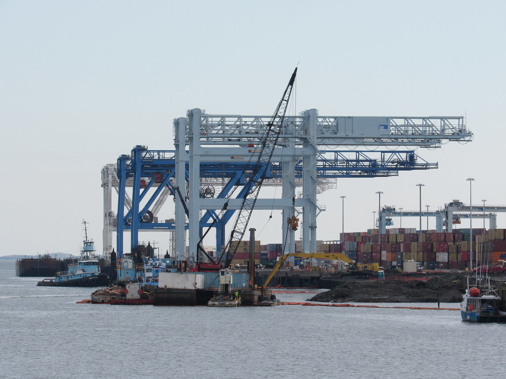
Dredging, seawall construction and expansion of the pier.
 https://flic.kr/p/2agbHtA
 https://flic.kr/p/2agbJL5
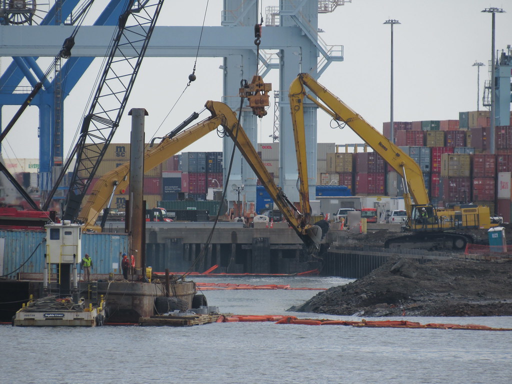 https://flic.kr/p/PgAc8K
 https://flic.kr/p/2agbHtA
  https://flic.kr/p/2agbJL5
 https://flic.kr/p/PgAc8K
- Joined
- Jan 7, 2012
- Messages
- 14,072
- Reaction score
- 22,823
 https://flic.kr/p/2fwWq9Q
 https://flic.kr/p/Ttj1CA
Also dredging channel.
 https://flic.kr/p/2fxwc9J
  https://flic.kr/p/Ttj1Sd
- Joined
- Jan 7, 2012
- Messages
- 14,072
- Reaction score
- 22,823
 https://flic.kr/p/2gjbZkT
Noticed that they have moved a new barge to the power station site. Looks like some kind of official operation. I don't think the expansion of the Conley goes this far west(?). Maybe it supports the dredging operation.
 https://flic.kr/p/2gjbQHf
ceo
Active Member
- Joined
- May 4, 2009
- Messages
- 642
- Reaction score
- 850
Re: Flashing Yellow Turn Arrows
Um, what? You can't turn left there; Cedar is one-way from Somerville Ave to Summer St.
(And this is maybe a little off-topic? )
)
The Cedar St / Summer St light in Somerville, for traffic coming from Union Sq headed towards Davis, now has the usual three round bulbs red over yellow over green, plus a fourth bulb which is a yellow left arrow at the bottom that flashes simultaneously with at least some of the green time, and I don't think there's a dedicated left turn lane there.
Um, what? You can't turn left there; Cedar is one-way from Somerville Ave to Summer St.
(And this is maybe a little off-topic?
stellarfun
Senior Member
- Joined
- Dec 28, 2006
- Messages
- 5,711
- Reaction score
- 1,544
Re: the Cape Elizabeth survey vessel.
https://www.marinetraffic.com/en/photos/of/ships/shipid:5674011/#forward
On the marinetraffic site, it is designated as a MMS, which might mean Minerals Management Service (Dept of the Interior), or Marine Mammal Survey (Dept. of the Interior). Minerals does leases of offshore oil.
Plot of the recent tracks has it going out to a point east of Winthrop and southeast of Nahant, and back. According to the photos, it went out on New Year's Day. So may be doing fisheries surveys.
.
Re: Flashing Yellow Turn Arrows
You can't turn right there if you're heading toward Davis. The observations about the traffic light are accurate. If you're heading toward Davis, it's left turn only. Cedar is one way from Highland to Elm (technically the last stretch between Elm and Somerville Ave. is Mossland St.).
Um, what? You can't turn left there; Cedar is one-way from Somerville Ave to Summer St.
(And this is maybe a little off-topic?)
You can't turn right there if you're heading toward Davis. The observations about the traffic light are accurate. If you're heading toward Davis, it's left turn only. Cedar is one way from Highland to Elm (technically the last stretch between Elm and Somerville Ave. is Mossland St.).
- Joined
- Jan 7, 2012
- Messages
- 14,072
- Reaction score
- 22,823
- Joined
- Jan 7, 2012
- Messages
- 14,072
- Reaction score
- 22,823
- Joined
- Jan 7, 2012
- Messages
- 14,072
- Reaction score
- 22,823
 IMG_7902 by Bos Beeline, on Flick
 IMG_7903 by Bos Beeline, on Flick
 IMG_7905 by Bos Beeline, on Flickr
stick n move
Superstar
- Joined
- Oct 14, 2009
- Messages
- 12,160
- Reaction score
- 19,149
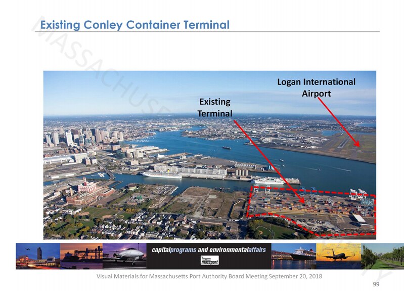
Why isnt there a freight rail line or track 61 extension to the terminal? Must be crazy inefficient to have to truck all that cargo out of there.
- Joined
- May 25, 2006
- Messages
- 7,034
- Reaction score
- 1,875
Depends on how far the freight is going. If it's strictly regional then trucks are the best option. Putting all those containers on to trains and then shipping them out of the city only makes sense if they are going longer distances, like they do in Long Beach. I don't think Boston is a large enough port to handle that kind of long distance shipping.

