DCR Allston-Brighton Riverfront Parks and Parkways

Another from Birmingham Parkway: https://www.mass.gov/doc/roll-plan/download

View attachment 34431

Umm... what's the point of Birmingham Parkway, given this drawing? I know I have all my ideas, but within this diagram, why not get rid of it and just have North Beacon connect directly through SFR?

DCR is building SFR, MassDOT is building Birmingham, and neither seems to know or care what the other is doing when only one of these roads needs to exist.

Recall that IHOP and the Days Inn are bring redeveloped, and I'm sure Staples and McDonalds could soon follow. The time to reorient this stuff is now.
They are redundant roads. That piece of SFR wasn't even built until the 1950s, long after Birmingham Parkway had already been there for decades prior. My take on this roadway system is to abandon SFR, return that land to parks and trails, and have Birmingham Parkway be the through road. SFR is along the river which lends itself to parks and trails rather than roadway usage.
 
They are redundant roads. That piece of SFR wasn't even built until the 1950s, long after Birmingham Parkway had already been there for decades prior. My take on this roadway system is to abandon SFR, return that land to parks and trails, and have Birmingham Parkway be the through road. SFR is along the river which lends itself to parks and trails rather than roadway usage.

Agreed if they don't build a new Pike exit. The Birmingham alignment would need to be eaten by I-90 to accommodate that.
 

1711548313202.png


Still don't understand why they don't get rid of the Soldiers field road section along the waterfront and combine with this overbuilt road... Get asphalt off of DCR land!
1711548376499.png
 
Still don't understand why they don't get rid of the Soldiers field road section along the waterfront and combine with this overbuilt road.
Probably because the traffic engineers determined it would back up traffic too much at the intersection with Western Ave. and Arsenal St.
 

Does anyone know what's happening with Phase 3 of the Mem. Drive project? I haven't heard any recent updates on it.

What happened was the local state rep. organized a "public forum" (except only opponents to the project were invited) that was set up to yell at the DCR commissioner and anyone else who dared support unpaving your parkland:


This is the same Marjorie Decker who got caught with her pants down in a public records request last year:

 
Bonus: one of her staffers named in the FOIA documents is running for her own seat in the 27th Middlesex (Somerville).
 
What happened was the local state rep. organized a "public forum" (except only opponents to the project were invited) that was set up to yell at the DCR commissioner and anyone else who dared support unpaving your parkland:


This is the same Marjorie Decker who got caught with her pants down in a public records request last year:

Oh right.... I forgot about that saga.

Thanks for jogging my memory! I ran by this stretch last night and really wished that the path could see some much-needed upgrades.
 
Bonus: one of her staffers named in the FOIA documents is running for her own seat in the 27th Middlesex (Somerville).
Extremely important for anyone in this district (myself included) to vote Erika Uyterhoeven on September 3rd, and hopefully Decker will lose her primary in the 25th Middlesex.
 

View attachment 49001

Still don't understand why they don't get rid of the Soldiers field road section along the waterfront and combine with this overbuilt road... Get asphalt off of DCR land!
View attachment 49002
It's just so dumb how ossified and rigid government is. Like, there are two redundant parkways here. One of them should be eliminated since the entire district they both serve could be served by one of them. All pretty urbanistic redo's and "shared use" bullshit doesnt eliminate the fact that either Birmingham or SFR road should be gone, period. It just is depressing and tiresome how governmental divisions cant ever step back and realize that you dont need to redesign a different version of the same thing every time youre dealing with land use. Sometimes the use needs to change. We saw the same shit with Melnea Cass. They tore down a neighborhood for a highway that wasn't built, but built a pretty ugly surface road that decades later, they wanted to add more lanes of pavement to in order to advance BRT. Like, yeah, on paper, great. But that wide piece of pavement is awful now, and it'll be even worse with a wider cut. But because it's "transportation", all the officials can do is drool over how to change it somehow but keep the original use. Just close the fuckin Birgmingham already, or get rid of SFR.
 
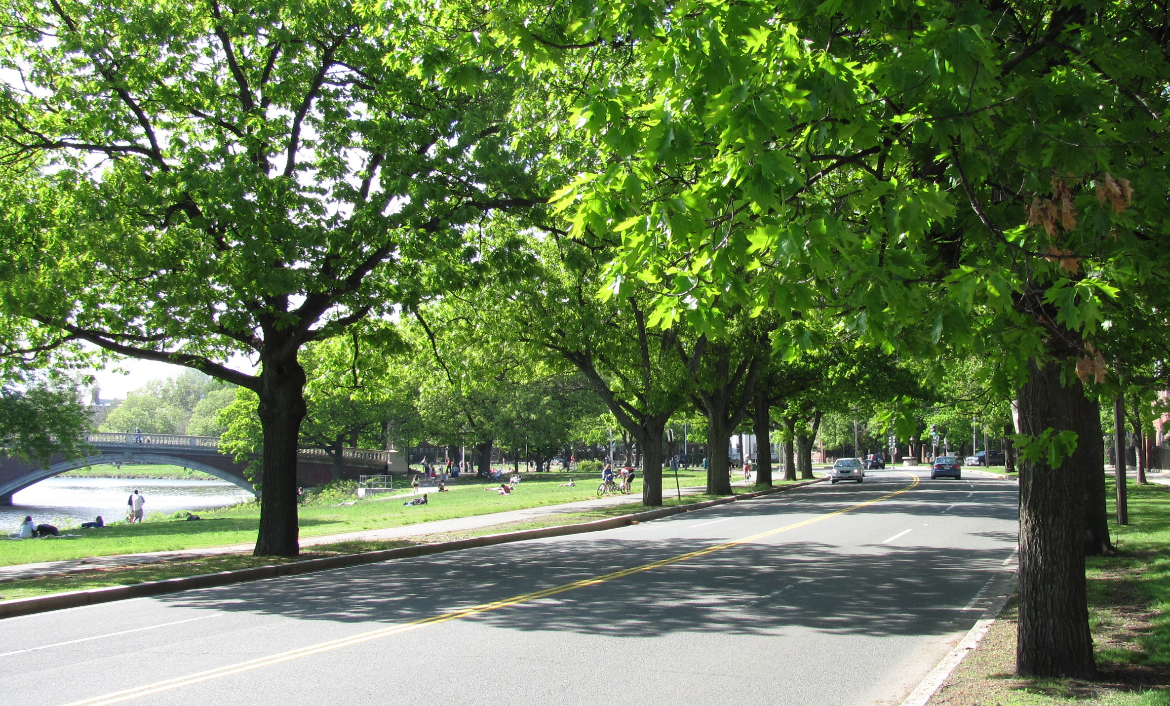
Trees are so cool. From the presentation... Same trees probably as are there today.
Screenshot 2024-12-16 at 3.35.07 PM.png
 
Wow, quite the pendulum swing from the mid-1960s when roadway underpasses and ramps were being pushed by the MDC for Memorial Drive at JFK Street, River Street and Western Ave, which would have wiped out much of the old sycamore trees, and transformed Memorial Drive into an expressway.
Got any documents and maps of this, Charlie?
 
Unfortunately no. Just definite memories of 1964/65 when I was in high school in Cambridge, hearing some of my teachers remarking on the proposal, and also me reading articles about it in the Cambridge Chronicle. There was even talk of making SFR eastbound traffic only and Memorial Drive westbound only, upriver from River Street, once the underpasses and ramps were completed. A lot of opposition from Cambridge residents stymied the project. Cutting down the sycamores specifically was the main reason it was defeated. Here's an article about it.
Note: Boylston St. is now called JFK Street.
 
Last edited:
It's just so dumb how ossified and rigid government is. Like, there are two redundant parkways here. One of them should be eliminated since the entire district they both serve could be served by one of them. All pretty urbanistic redo's and "shared use" bullshit doesnt eliminate the fact that either Birmingham or SFR road should be gone, period. It just is depressing and tiresome how governmental divisions cant ever step back and realize that you dont need to redesign a different version of the same thing every time youre dealing with land use. Sometimes the use needs to change. We saw the same shit with Melnea Cass. They tore down a neighborhood for a highway that wasn't built, but built a pretty ugly surface road that decades later, they wanted to add more lanes of pavement to in order to advance BRT. Like, yeah, on paper, great. But that wide piece of pavement is awful now, and it'll be even worse with a wider cut. But because it's "transportation", all the officials can do is drool over how to change it somehow but keep the original use. Just close the fuckin Birgmingham already, or get rid of SFR.
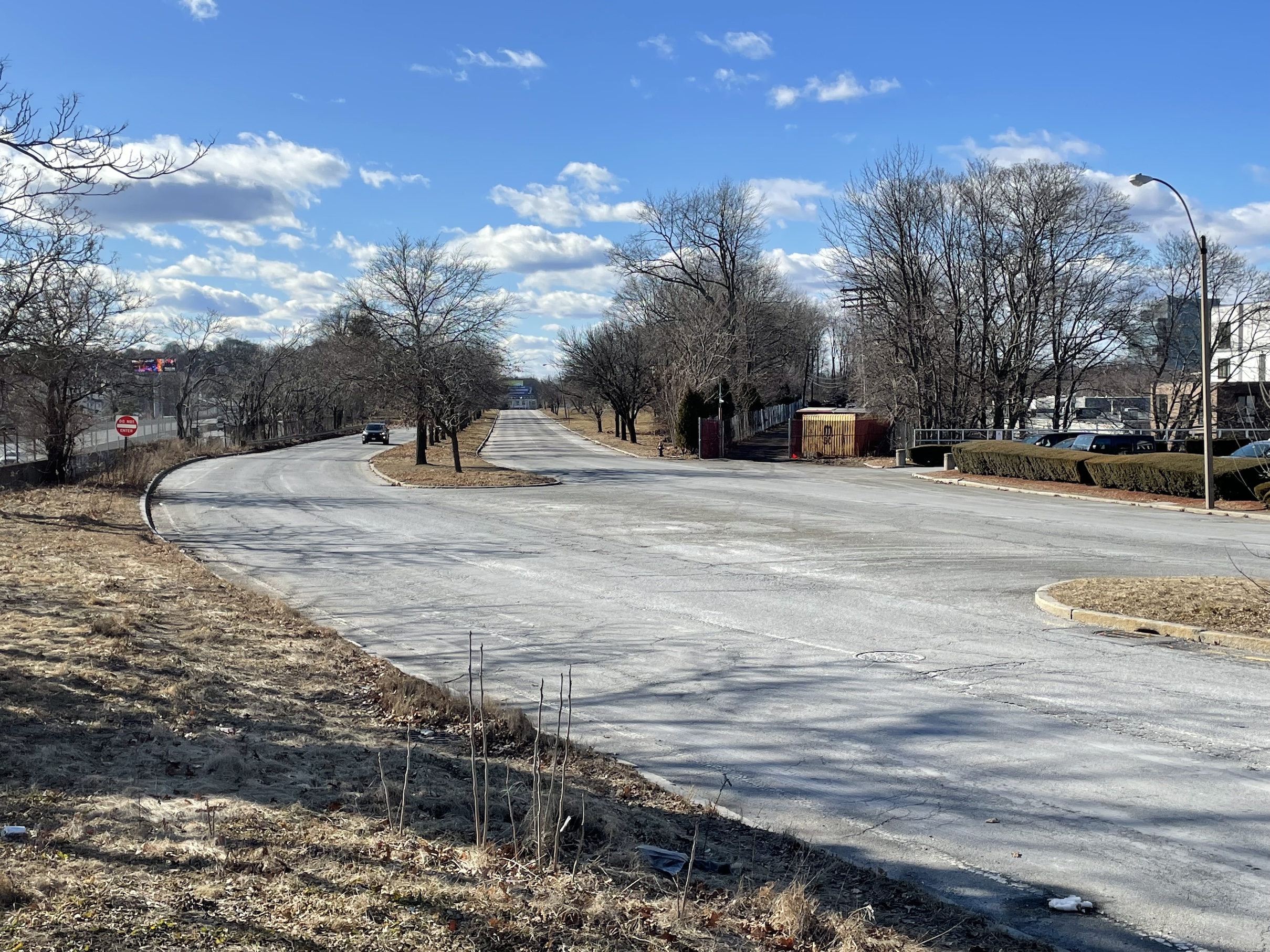
It might be a hot take here, but I still think the westernmost segment Birmingham should be replaced by a pike westbound offramp, with the goal of reducing pressure on Watertown Square, which is an absolute clusterfuck. All westbound traffic has to get off there and double back to get to eastern Watertown (Arsenal).

Am I way off-base here?
by Watertown Sq do you mean the Newton Corner “circle of death” exit?
 
by Watertown Sq do you mean the Newton Corner “circle of death” exit?
Yes, the Newton circle of death (the east one) and Galen St form the most-direct path to Watertown Sq from the the highway, and that 5-plus-way intersection constantly gridlocking the neighboring streets. Even Galen St itself should be a fairly pleasant street with some fine grain urbanism, but instead it's six perpetually-clogged lanes of huge trucks and commuter cars.

Birmingham is a highway frontage road, and very close to the massive parking sink that is Arsenal, so I think it would be okay to shift some traffic over there

Edit: typo
 
  • Like
Reactions: FK4
Yes, the Newton circle of death (the east one) and Galen St form the most-direct path to Watertown Sq from the the highway, and that 5-plus-way intersection constantly gridlocking the neighboring streets. Even Galen St itself should be a fairly pleasant street with some fine grain urbanism, but instead it's six perpetually-clogged lanes of huge trucks and commuter cars.

Birmingham is a highway frontage road, and very close to the massive parking sink that is Arsenal, so I think it would be okay to shift some traffic over there

Edit: typo
I have no idea if it would help things; and don’t really know why there isn’t an exit there now. But my guess is that the Newton exit will always be clogged and I don’t see it as being replaceable by Birmingham. If the city wanted to make Galen Street nice they could, and they should.
 

Back
Top