- Joined
- Sep 15, 2010
- Messages
- 8,894
- Reaction score
- 271
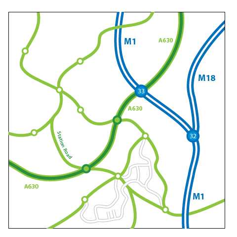
I came across this great tutorial this morning. I see a lot of comments about "how did you make that" on a lot of transit proposals people do, so I thought I'd share the design process with those who were wondering.

http://blog.spoongraphics.co.uk/tutorials/creating-road-maps-in-adobe-illustrator
Credit goes entirely to Chris Spooner, the author of the article:

http://blog.spoongraphics.co.uk/tutorials/creating-road-maps-in-adobe-illustrator
Credit goes entirely to Chris Spooner, the author of the article:
Chris Spooner is a designer who has a love for creativity and enjoys experimenting with various techniques in both print and web. Follow Chris' daily design links on Twitter, and be sure to check out his second blog over at Line25.com.
