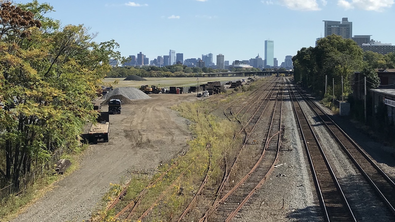
Is there a reasonable estimate for the cost savings if DCR road-dieted Soldiers Field Road to 2 or 0 lanes? Seems that would save a lot of cost in the throat area
The "throat area" is likely not of particularly large expense
itself. It's basically just asphalt at-grade, where there's already a road or flat area, at-grade. Adding or removing lanes here is not going to shift the cost of the project substantially that I can see.
I am not sure what the cost breakdown of any particular project element is (or if such a breakdown even exists), but from the current plans I'm guessing the large/potentially overbuilt elevated structures are a disproportionate portion of the cost relative to their seeming significance to the project. (like the "Cambridge St Bypass").
and remove cars from Storrow.
I have pointed this out before here, but Storrow moves a lot of volume through "the throat" and beyond, somewhere in the ballpark of ~55% of the Pike's traffic for the segment immediately east of the Allston tolls/ramps from the limited older data I can find. It is not an inconsequential amount of volume, and that of it coming in from the West on SFR doesn't currently have some other great option for getting places. Attempting to get from the NW of the metro area to destinations south of the Charles flows to here. Canceling the inner belt was a good decision but it makes this a pretty important half-assed version.
Even if the Pike had the capacity, many of the higher volume ramps seem to correlate to destinations not served well by the Pike - like Charlesgate/Fenway.
If we're in a world of much more significant transit expansions/improvements there's lots of things that are negotiable, but I don't personally view "just remove SFR/Storrow" as a realistic suggestion with only the existing "West Station" + misc local bus projects as substitute. They're basically at best going to handle
new demand from this area - probably about as poorly as the Seaport's transit has.
-----
Anyway though, without redrawing a whole bunch of other things and blowing the scope of this project even further to the moon - I don't see how you make this work unless you're truncating Storrow at Charlesgate, which is not exactly realistic right now.
Otherwise you have to somehow merge it into the Pike at the throat and still have your (now higher-load) Allston interchange right after in a unsafely short distance, which would probably take lots of ramps and be much more expensive + ugly than even the current plan is through "the throat".
Another idea would be to lift all zoning limits on developments that cap the highway here and use the air rights lease to fund the project.
It's been difficult and taken decades to get air rights projects built next to some of the absolute highest value real estate in the city - like South Station + Newbury. I don't think air rights are going to sell for anything right now in an area still half covered in warehouses and underutilized parcels. If in 30 years it looks like the Seaport, maybe there will be demand then. But that won't fund the project now.
I read once that post-Covid the traffic levels of SFR/Storrow could be absorbed by Pike since there's fewer cars. To summarize Pike (2019) = Storrow (2024) + Pike (2024). I could be totally wrong though. The question of connections SFR/Storrow provide over the Pike is another question, but the highways aren't that far apart, and transit riders lack many of the same connections, so fair's fair.
Doesn't seem correct at all.
There is a daily 2-way counter on the Pike (AET13) by the Comm Ave underpass for the last few years:
AADT:
2017 - 141k
2018 - 145k
2019 - 150k
2020 - 94k
2021 - 114k
2022 - 125k
2023 summaries aren't out, but the average spit out by running a daily report against the year looks to be 131k, so 93% of 2017 volumes, 87% of 2019, up 6k.
----
Recent Storrow/SFR data is much more limited and not daily that I see, but summarized count locations:
- On the roadway before + after N. Harvard St.
- Charlesgate has counts for the ramps but not thru. (only looked at the to/from the West ramps)
- On the roadway again before Charles Circle.
All of these counters indicate that SFR/Storrow is back to pre-pandemic volumes pretty much in full, with them all being pretty much +/-5% of 2019.
Also worth noting that 2019 was in many cases the result of years of growth - so volumes somewhere like South of N. Harvard St (where there is long-term data) aren't just back to pre-pandemic levels - they're also a good 25% above the that of the late 2000s.

