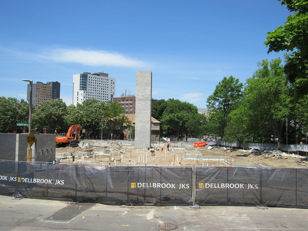
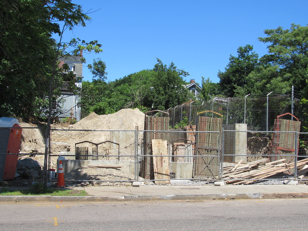
In this particular case the clearing was for the highway as this is where the 95-695 interchange was supposed to be. Somewhere on this forum has been posted the renderings and it would have been devastating.
No, van… the interchange was going to be at the end of the yellow line, which is at Columbus (which would have become 95 outbound of this map). The plans weren’t totally down to the fine detail, but as I know you know, there were also plans to construct major arterials across the city to connect the new highways; Columbus was going to become one of them and would have been widened (inbound of the interchange, that is). Ritchie, Marcella, Townsend and Quincy Streets were also going to become a four lane connector to 93, hence MLK Blvd.
However, all of this was going on at the same time as very aggressive demolition of the entire part of roxbury between ~ Northampton and the Roxbury Highlands. The highlands was where more affluent blacks as well as Jews lived. The lowlands around Dudley were poor - the end of Albany Street had been paint factories and metalworks and other toxic stuff from very early on, due to the canal that used to run into that area (where the Asian funeral parlor is). Then you had all the factories around Roxbury Crossing. So the area in between was sandwiched between two industrial zones and swelled in numbers with the migrations of poorer blacks heading out of the south after the two world wars. The more affluent Roxbury residents, partly due to class snobbery, were actually on board with a lot of the clearance.
Some of the initial plans proposed a very sprawling interchange - see the links below for an amazing site of maps including an overlay of the proposed inner belt. While that map shows a massive interchange, by the late 60s the plans had changed to a much tighter interchange with the rest of the surrounding land converted to a new project with a high school and housing called Campus High. The school is now called Madison Park because the demolished park (faintly visible, that you can see in the paco’s picture) was called Madison Square. That’s the cleared land in the lower right of the pic.
https://www.mapjunction.com - awesome site... select “inner belt mosaic 1962”, but note this was a very early plan.
https://archive.org/details/campushighschool70bost - BRA plan for Campus High, 1970. Note that the inbound segment of Columbus Avenue is depicted as a major arterial, also unbuilt.
http://www.bostonplans.org/getattachment/8929ac8c-3180-4e13-971b-ac103e92dd37/ - Another image from the BRA’s site.

