Another story on Harbor Way from ArchPaper.com:
www.archpaper.com/2021/10/a-new-linear-park-promises-to-redeem-the-boston-seaport-megaproject/
www.archpaper.com/2021/10/a-new-linear-park-promises-to-redeem-the-boston-seaport-megaproject/
Re: Fan Pier
1/10:
(damn dust spots!)
Look, it fits in perfectly!
Great before/after images, HBH! Where did you source these? I'd be interested to see Assembly Row, Boston Landing, West End, and Ink Block areas too.
The new images I sourced from the city tax parcel viewer, it's a bit slow but when you zoom in you get imagery that is about a month old which is impressively recent for satellite images. https://app01.cityofboston.gov/ParcelViewer/Great before/after images, HBH! Where did you source these? I'd be interested to see Assembly Row, Boston Landing, West End, and Ink Block areas too.
The new images I sourced from the city tax parcel viewer, it's a bit slow but when you zoom in you get imagery that is about a month old which is impressively recent for satellite images. https://app01.cityofboston.gov/ParcelViewer/
The old images I took from Google Earth Desktop which let's you go back in time, https://mapjunction.com had some too but they weren't as clear for the time frame I wanted here.
") .
.Ah, I was wondering how you got such recent satellite images where it even shows MassMutual to be done, because it's certainly not that up-to-date on Google Maps. The new images must be only about ~2 weeks old.The new images I sourced from the city tax parcel viewer, it's a bit slow but when you zoom in you get imagery that is about a month old which is impressively recent for satellite images. https://app01.cityofboston.gov/ParcelViewer/
The old images I took from Google Earth Desktop which let's you go back in time, https://mapjunction.com had some too but they weren't as clear for the time frame I wanted here.
 IMG_7570 by Bos Beeline, on Flickr
 IMG_7571 by Bos Beeline, on Flickr
 IMG_7573 by Bos Beeline, on Flickr
 IMG_7576 by Bos Beeline, on Flickr
 IMG_7577 by Bos Beeline, on Flickr
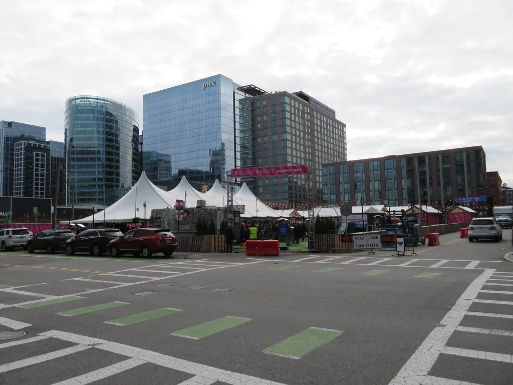 IMG_8537 by Bos Beeline, on Flickr
 IMG_8538 by Bos Beeline, on Flickr
 IMG_8540 by Bos Beeline, on Flickr
 IMG_8542 by Bos Beeline, on Flickr
 IMG_8544 by Bos Beeline, on Flickr
 IMG_8547 by Bos Beeline, on Flickr
 IMG_8548 by Bos Beeline, on Flickr
 IMG_8556 by Bos Beeline, on Flickr
 IMG_8560 by Bos Beeline, on Flickr
 IMG_8559 by Bos Beeline, on Flickr
 IMG_8561 by Bos Beeline, on Flickr
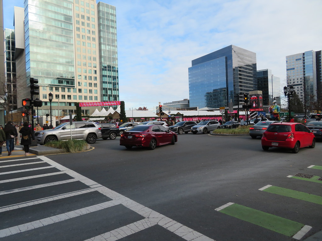 IMG_8564 by Bos Beeline, on Flickr
Around noon Saturday 12/4
Good sized lines waiting to get into the Holiday shops.
Then one block West nothing
Traffic on Seaport Blvd was a total horror show.
And it didn't get any better. I was going to a holiday party at Morton's Saturday at 6:00 and it took me like 25 minutes to get from the Seaport Blvd bridge to Morton's.
P.S. Awesome pics BeeLine.


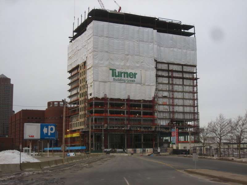
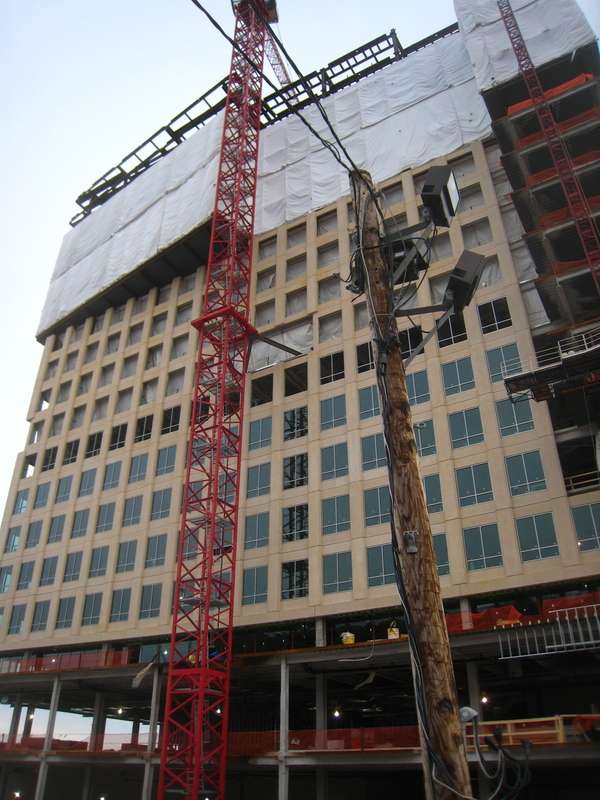
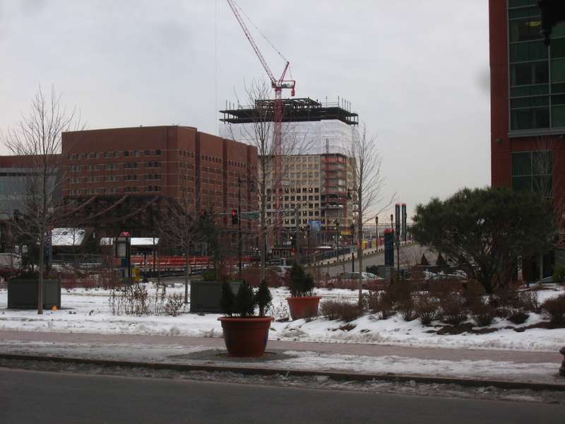
 IMG_6724
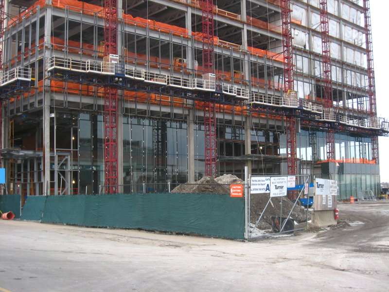
 IMG_6774
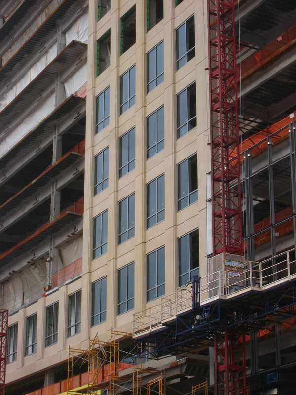
 IMG_6775
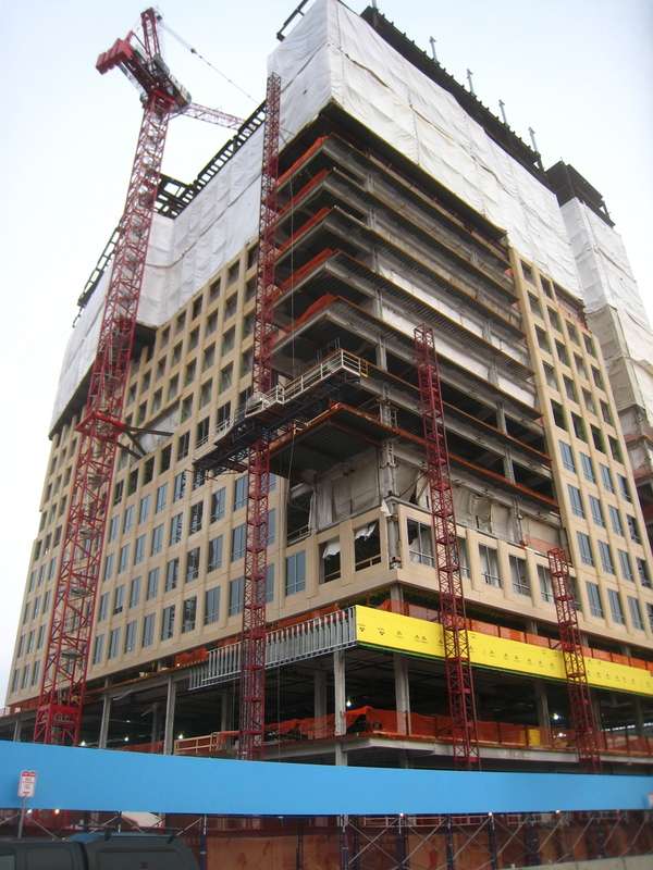
 IMG_6947
 IMG_6950
 IMG_6955
 IMG_6983