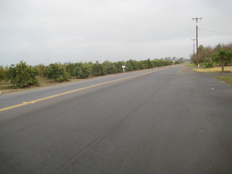
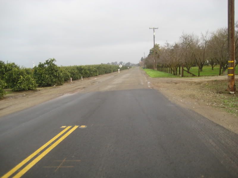
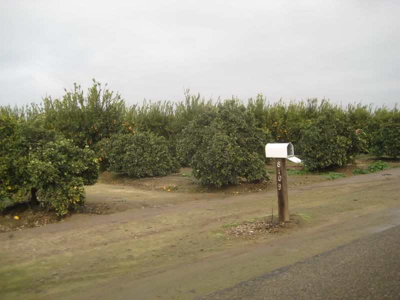
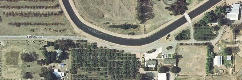
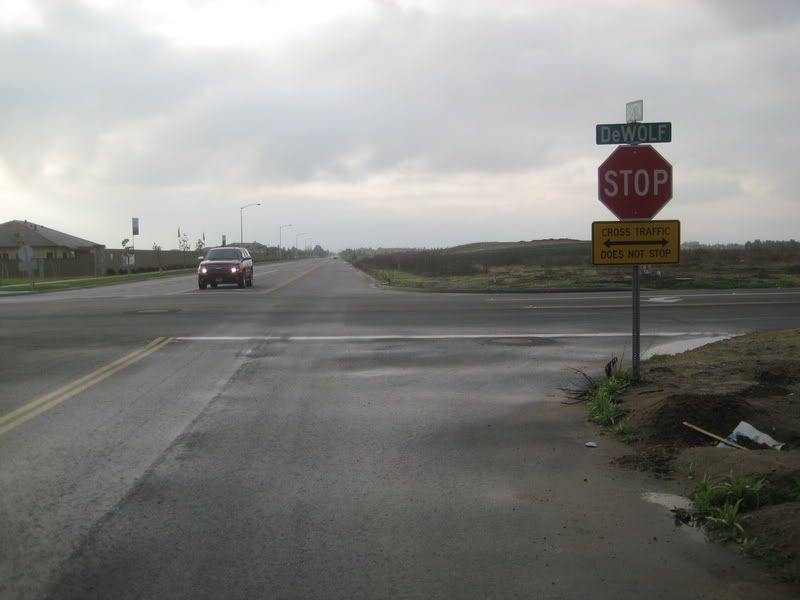
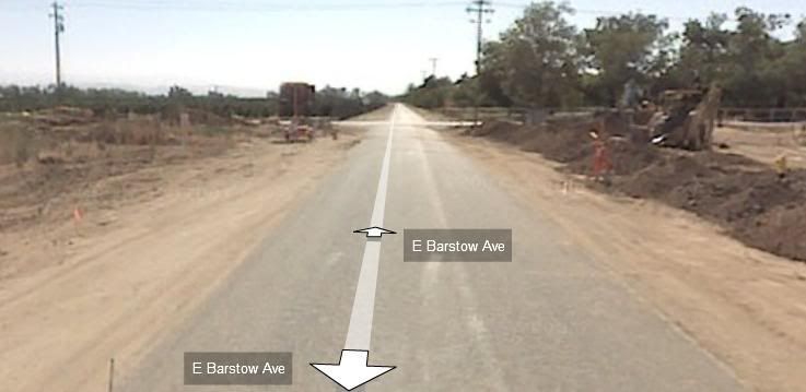
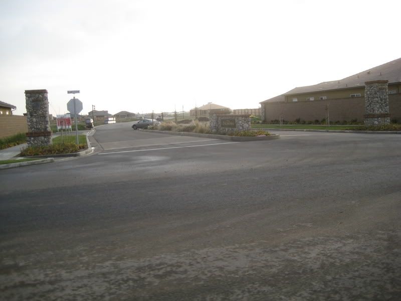
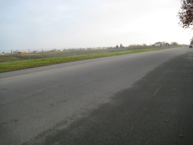
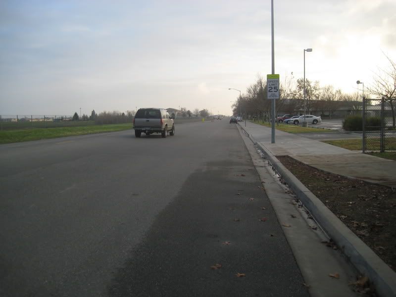
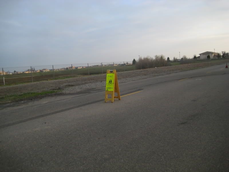
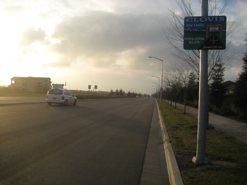
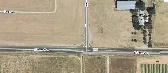
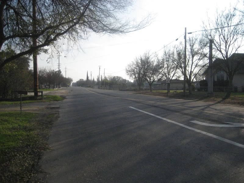
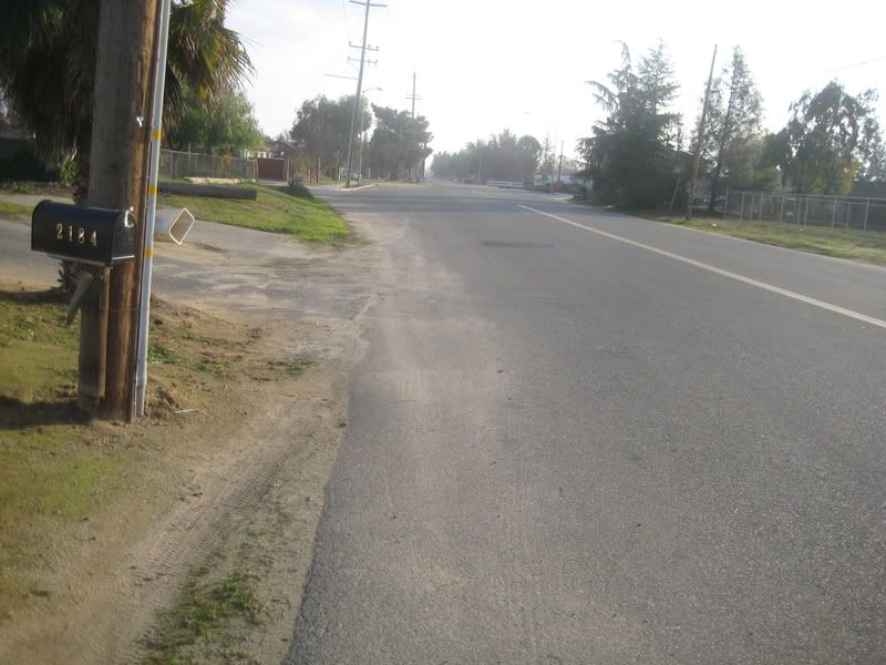
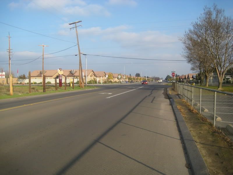
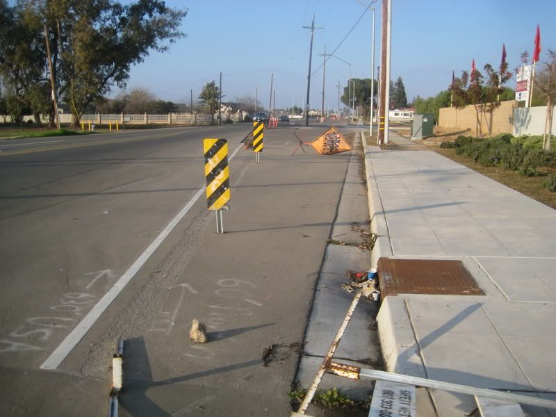
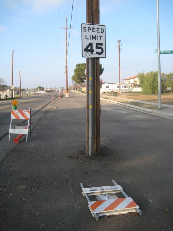
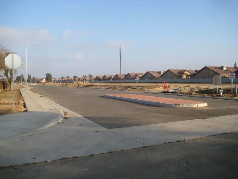
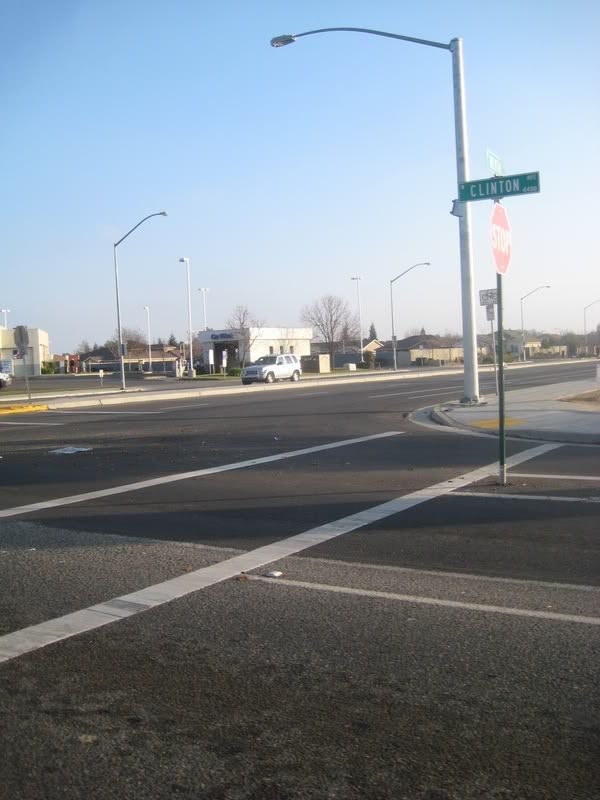
This subforum seems to be getting popular, so I thought now would be a good time to show some pictures I recently took in California of a process we don't really see around Boston.
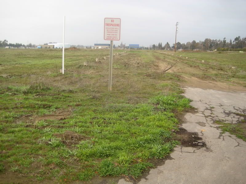
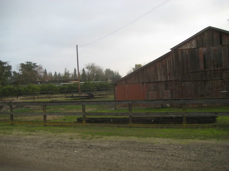
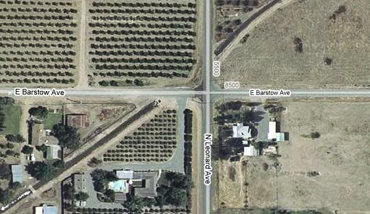
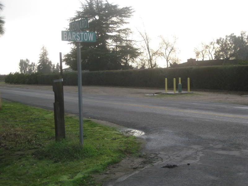
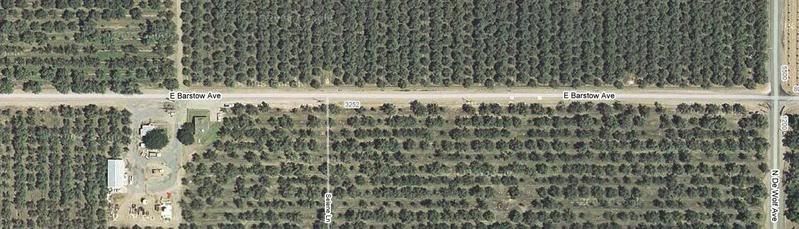
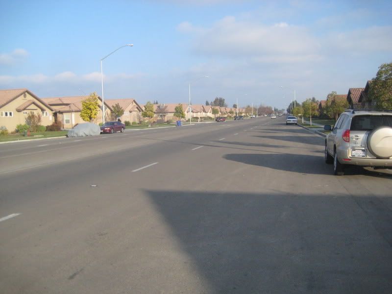
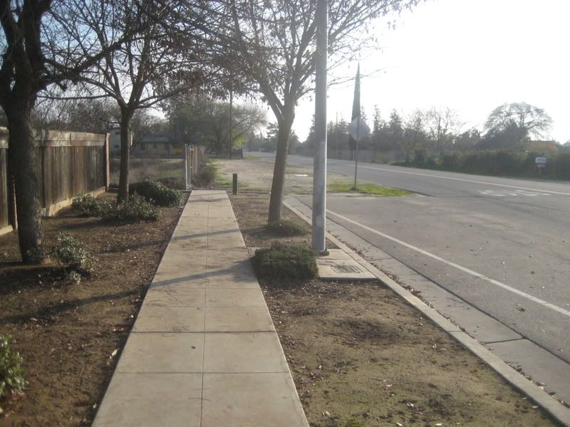
All these pictures were taken a few yards from the same intersection.
Prepare to be shocked and amazed!
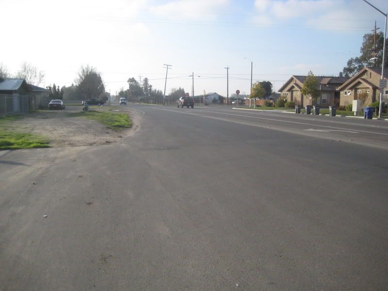
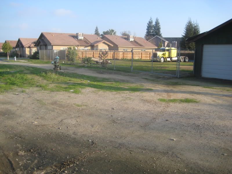
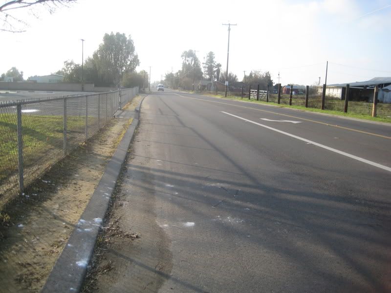
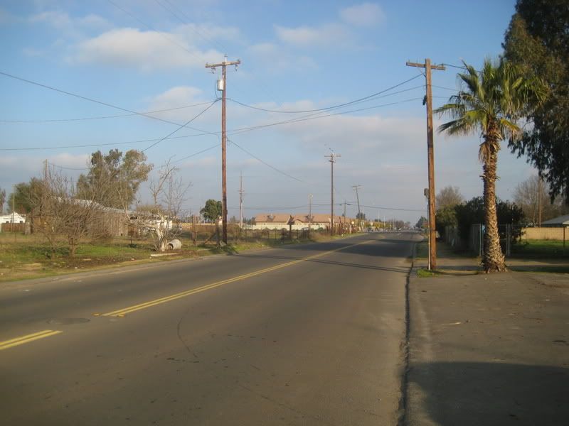
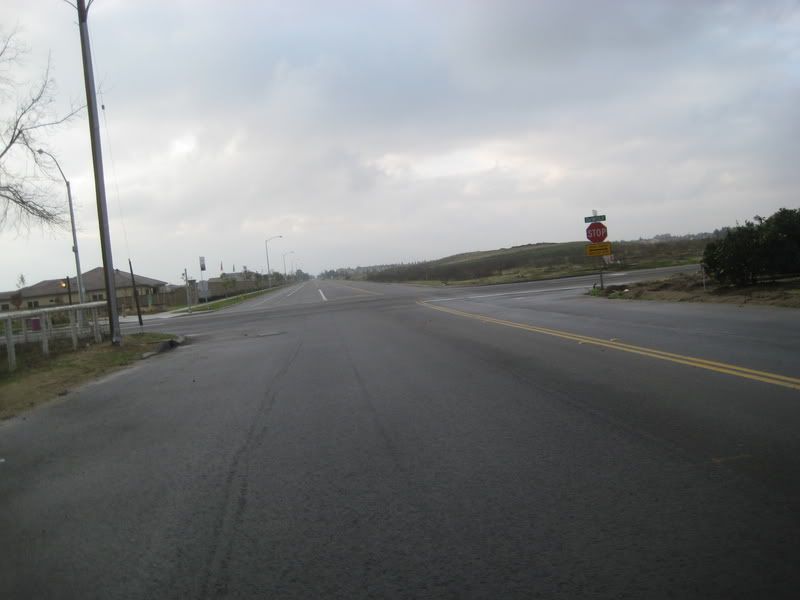
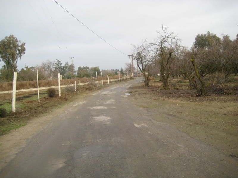
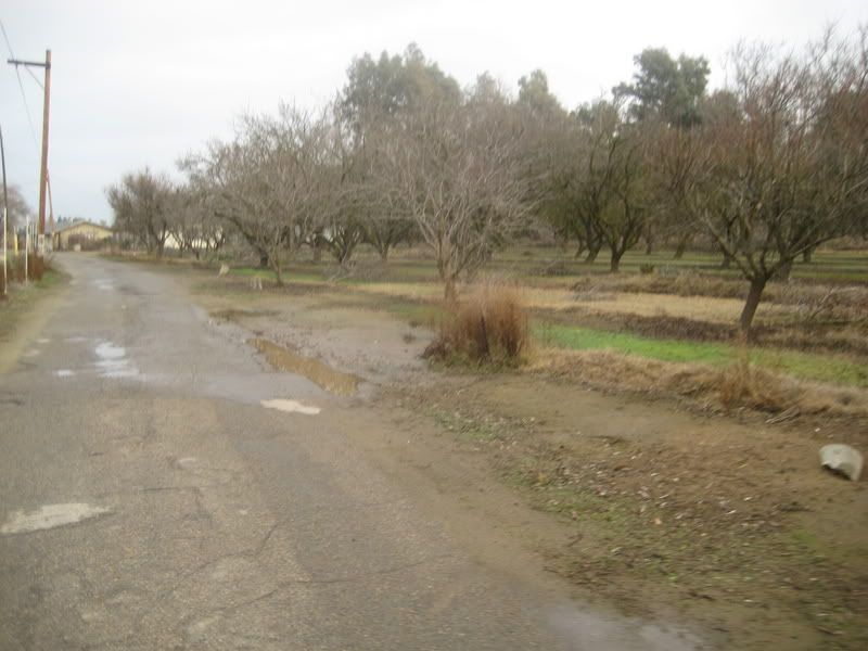
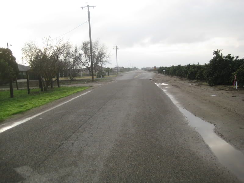
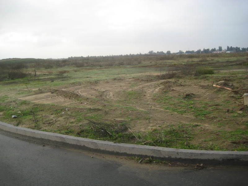
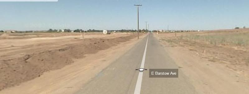
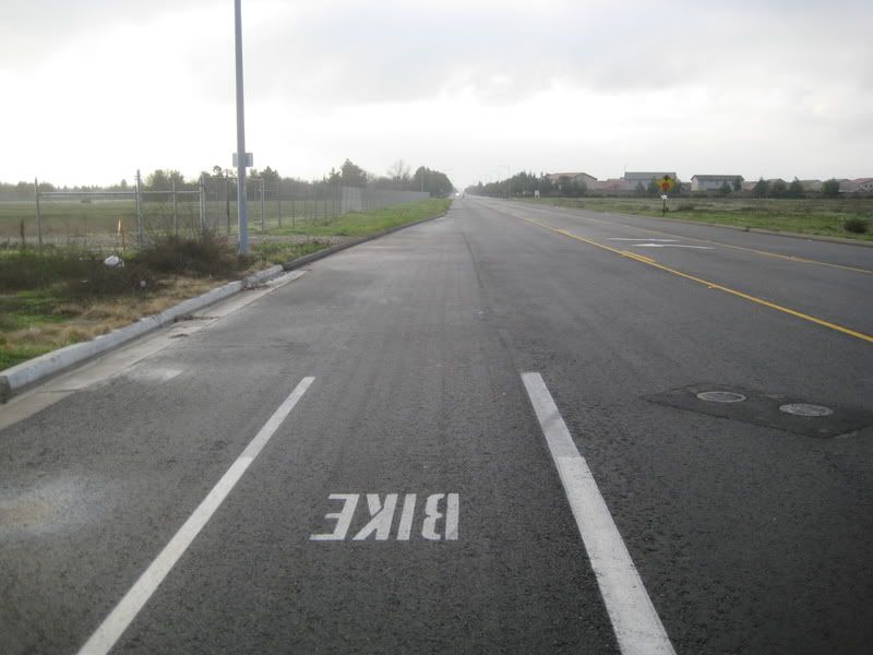
A few blocks away:
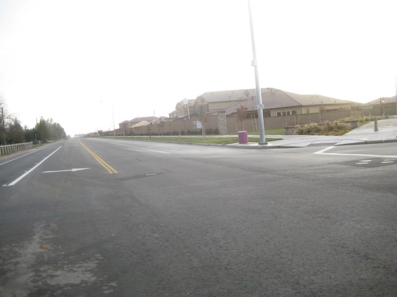
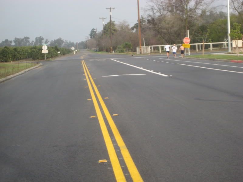
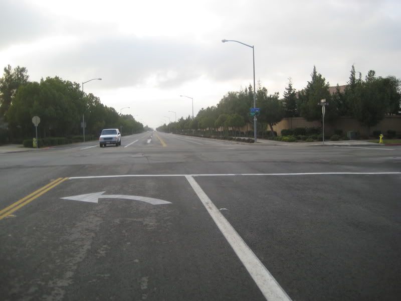
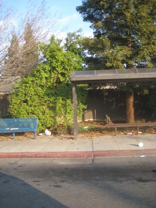
Bus service
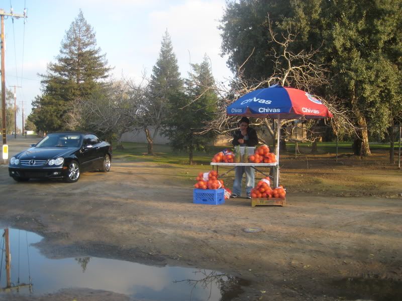
Check out the car
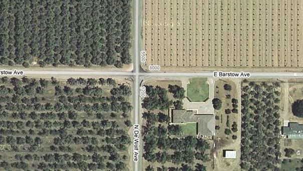
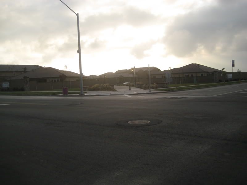
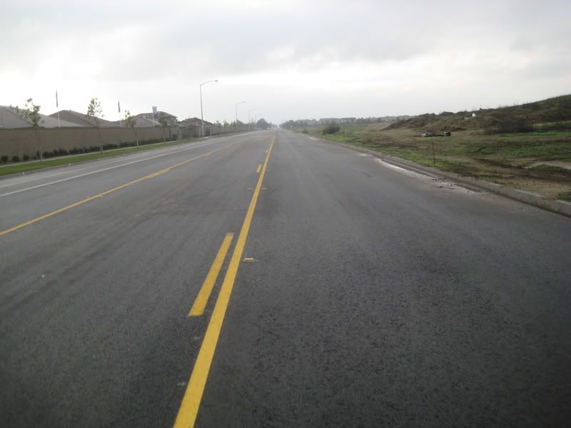
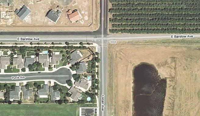
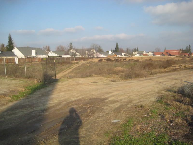
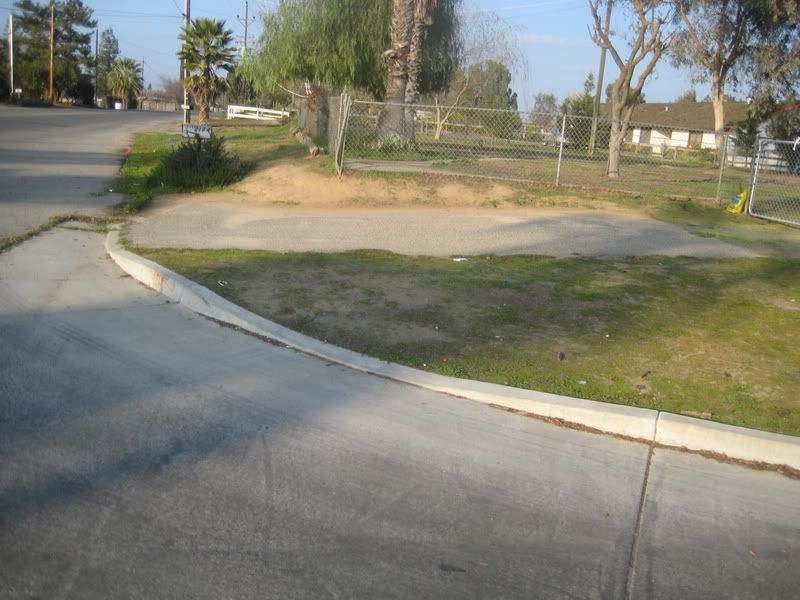
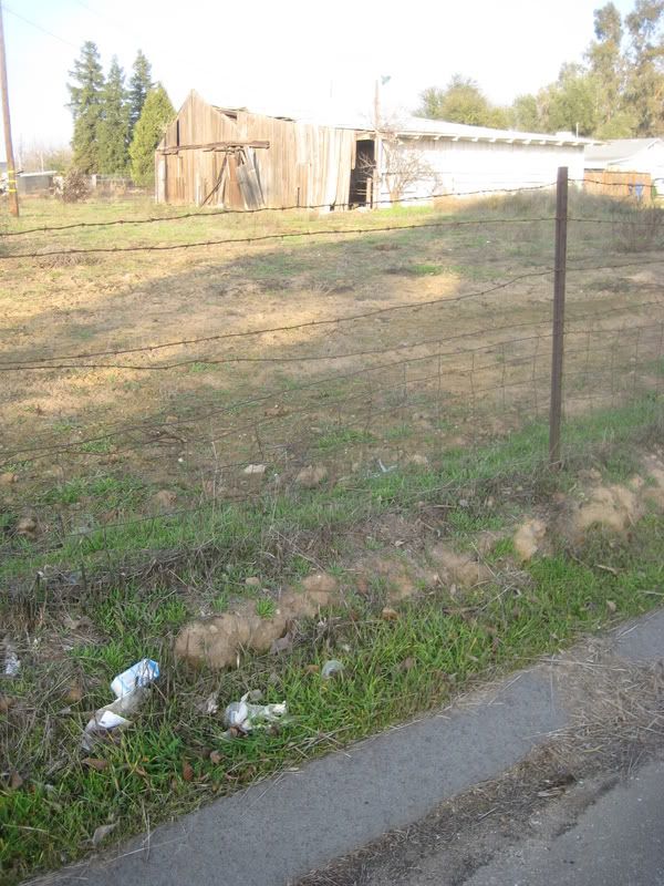
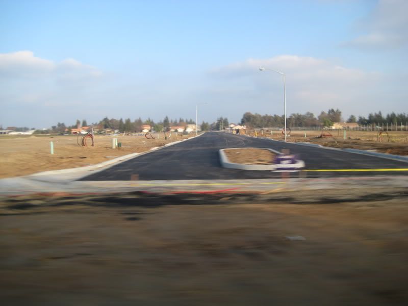
This
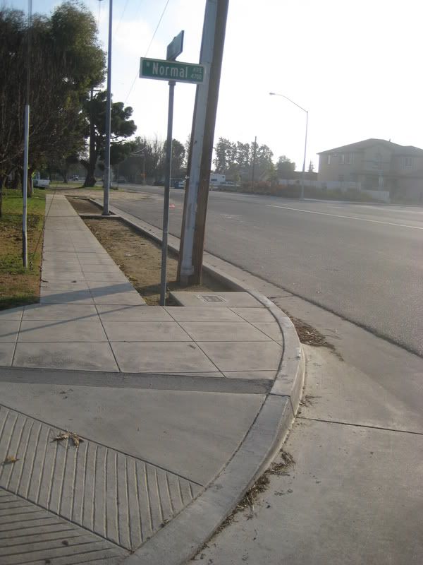
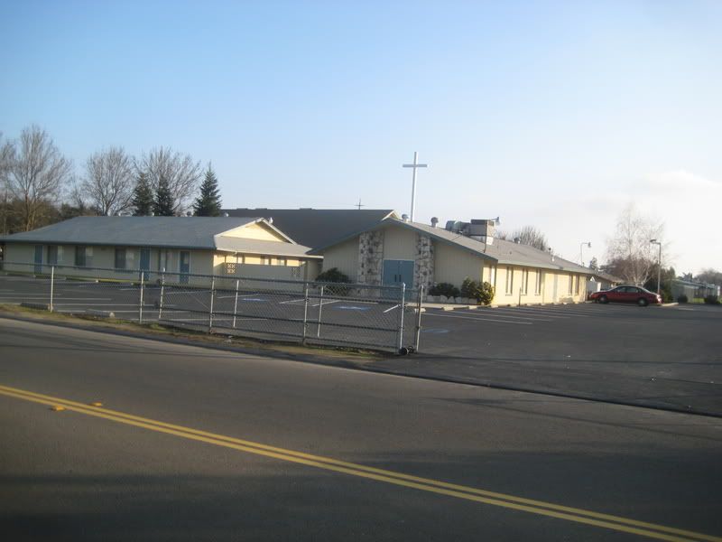
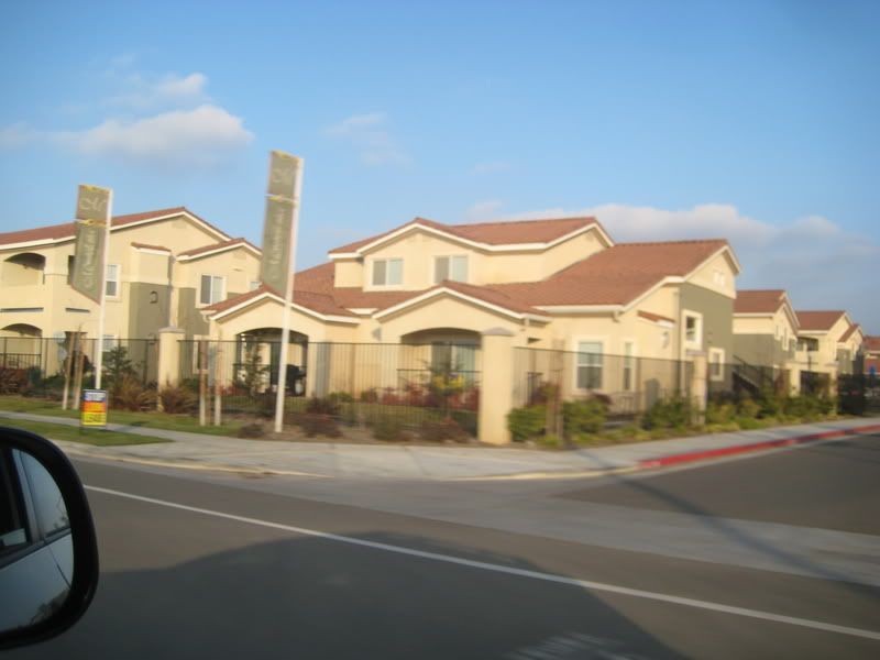
Wants to be this
All these pictures were taken a few yards from the same intersection.
Prepare to be shocked and amazed!
A few blocks away:
Bus service
Check out the car
This
Wants to be this