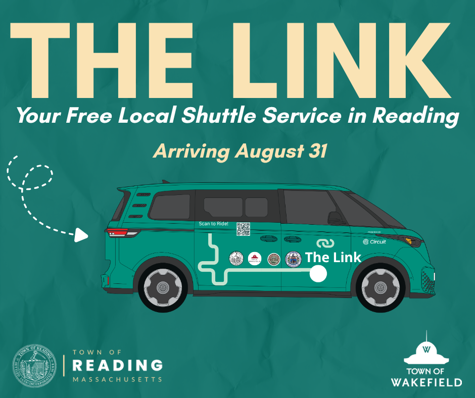
There badly needs to be some consolidation or coordination of these TMAs. I didn't even know half of them existed because they don't appear on MBTA maps and they don't have GTFS (so they don't appear as options on Google Maps etc). At the very least, there needs to be a standard requirement that any publicly-open services have standardized maps (to be displayed at stations) and GTFS.
Some of them would be strong candidates to be taken over by the MBTA, either directly-operated (when sufficient garage space, buses, and operators are available) or as contracted routes. EZRide (Charles River TMA) and the Seaport Ferry in particular. The Watertown shuttles point to a need for a Harvard-Waltham route via Western, Arsenal, and Pleasant (Pleasant is going to lose its current very-limited MBTA service under BNR). The Boynton Yards shuttle directly parallels the 85. The Lower Mystic Link will mostly parallel the Silver Line extension to Sullivan.
There definitely are certain areas that don't quite have the demand for normal 40-foot buses, but where some kind of standardized T-branded shuttle system would be better than the current mismash. Cambridge Discovery Park/Acorn Park (which has something like 3 different TMA shuttles), Cambridge Highlands, Mission Hill, Medford Street in Charlestown, etc. Those would also be useful for a few current MBTA situations (like the 411 loop to Jack Satter House) where the need for a relatively small volume of one-seat rides for seniors between housing and groceries/medical ends up diverting bus routes onto less-efficient corridors.