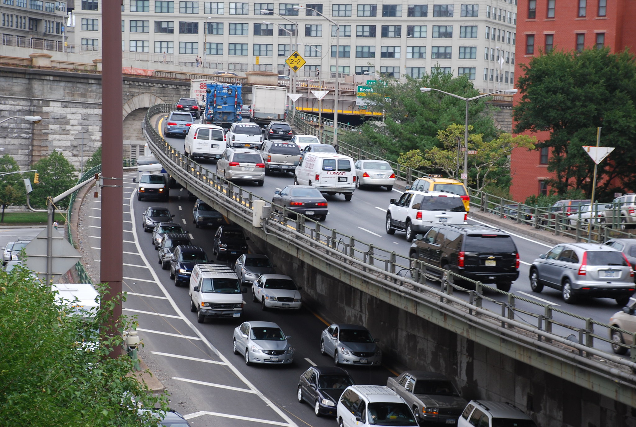
I think the main issue with this overpass project is that they are trying to redesign it in isolation. If you're holding steady all the other constraints around it, then I can see why MassDOT wants to preserve all the current number of lanes. But in reality, the backups are originating from the Boston side of the river. They just stretch all the way across the bridge. I do think the current configuration of the bridge and the intersection on the Boston side is not working well. MassDOT missed a huge opportunity to eliminate the zig-zag for people trying to go from Brookline to the BU Bridge when they redid the Comm Ave bridge over I-90.
If the team started thinking comprehensively about what all the streets connecting to it SHOULD look like if we actually followed through with the planned projects for them and created a functional network that doesn't have as many bottlenecks, then you can be much more bold and creative with how many lanes you need to accommodate all the different movements people are trying to make. For example, the Memorial Drive master plans shows a lane reduction west of the Reid Overpass, but they have not factored that in.
Also, the idea that slip lanes are better because pedestrians don't have to cross as many at once is laughable. It goes against all the best practices of roadway design of the last 20 years, which has said that slip lanes are terrible for pedestrians because they encourage dangerous behaviors by drivers. I really wish MassDOT would read their own design guidelines.
Finally, "design by neighborhood association" is a terrible way to do a design. It's fine to hear people's concerns and solicit ideas, but at the end of the day you must use professional judgement. They shouldn't just add back capacity because "neighbors are concerned about backups." That's just taking a poor decision and then saying "well this is what the public wanted!" Not cool.