MjolnirMan
Active Member
- Joined
- Jan 18, 2016
- Messages
- 304
- Reaction score
- 668
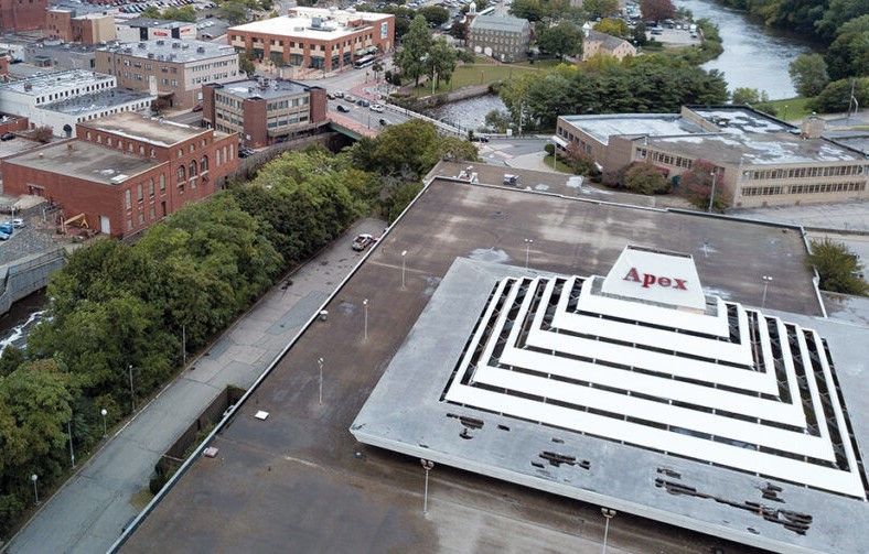
No updates or developments to report, but since we have a nice new subforum, I figured I'd spin off a new thread to post this. A guy on YouTube has been making some micro-documentaries on interesting Rhode Island landmarks, such as the Crook Point Bascule Bridge, and he just released one about the Apex building: