I
IMAngry
Guest
Hey.
I am reading a book on the infilling (w/e) of the Back Bay - the newer one by the guys from Northeastern, and found out something I didn't know before.
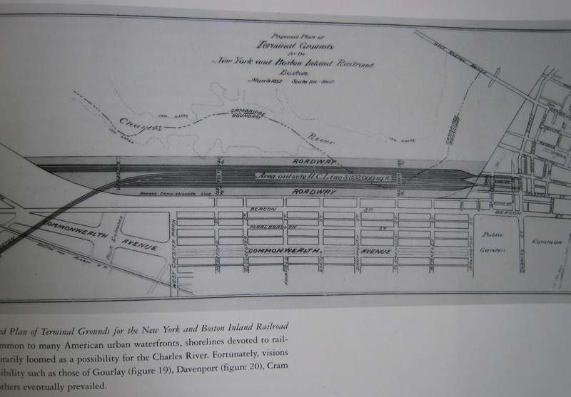
Apparently, there were plans to continue filling in the Back Bay, by expanding the land into the Charles River, covering the area to the right and left of the Longfellow Bridge. The plan was proposed in 1869, but, obviously, never attempted or completed.
Does anyone have any other information on this? There was a very small photo of the plan, courtesy of the Commonwealth's library, but I was hoping to find some of the maps and plans, online.
I am fascinated by this. There were at least four new roads, branching out from the Museum of Science area, past the Longfellow bridge, and a bit further toward the Hatch shell. It seems to have filled in a lot of the Charles River, in this area.
Any information would be greatly appreciated.
(Let's do this now! Haha.)


