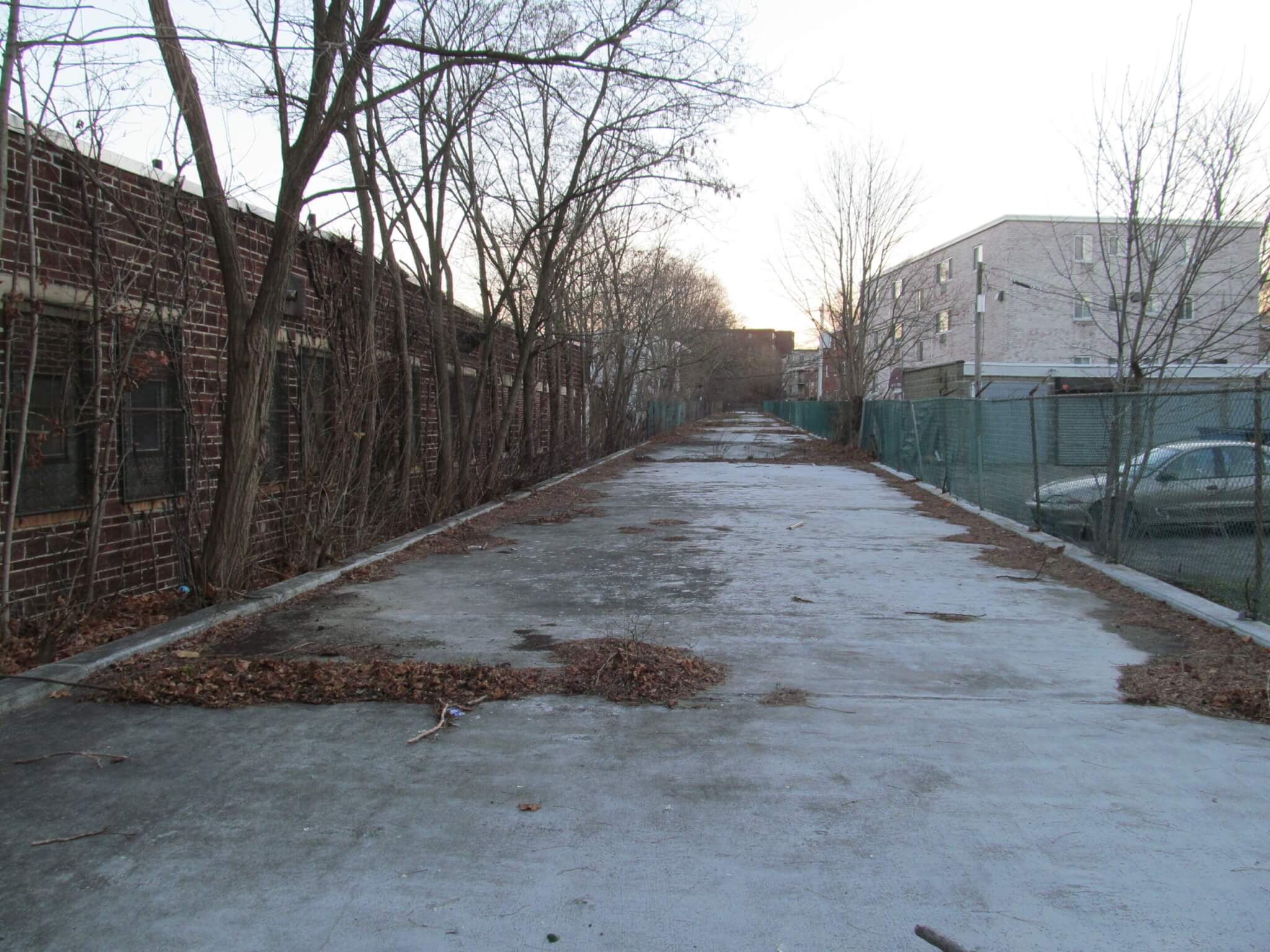
Biked the length of the Melnea Cass Shared Use Path for the first time in a while (at least since it was repaved). TBH, the repaving seems like a pretty cheap job, and is especially poor around the Boston Water & Sewer Commission building. And it looks like most of the branches / trash / debris from the bad windstorm we got about a week ago still haven't been cleaned up.
However, the path is still miles better than what it was before the repaving, and a useful off-street link through an area otherwise devoid of separated bike infrastructure. Frustrating though, that the intersections are completely unprotected and there's no separation for pedestrians and cyclists. (And the curb cuts at each intersection are generally in horrible shape!)
It's also a really stark difference between this path and the fantastic bidirectional cycle tracks on Northeastern's campus to which this path connects (photo at the end).
View attachment 46243
View attachment 46244
View attachment 46245
View attachment 46247

mass.streetsblog.org