Bill Russell Bridge | North Washington St.

So I guess they are just going to close the crossing while it's under construction?

I've been wondering about mitigation as well. It's not like the Longfellow where there are at least three other bridges to absorb Boston/Cambridge traffic. This is THE connection between Boston proper and Charlestown. Craigie/Lechmere will be an even bigger mess if everyone is trying to get to Charlestown that way.

As an aside, if they are just closing the crossing, doesn't it seem like they should downgrade Rutherford Ave the same time as they rebuild the bridge? Rutherford will be VERY low capacity if it's not carrying traffic to Boston from Sullivan.
 
They should. But they won't, that makes too much sense to do this all at the same time. Think of the extra jobs two projects create!
 
They should. But they won't, that makes too much sense to do this all at the same time. Think of the extra jobs two projects create!

Add they will probably put Rutherford Avenue on a diet in 2 or 3 phases -- to spread the wealth around even more.
 
I got to imagine they'll keep it half open. Otherwise, you're directing car traffic to Leverett Circle via the Austin St Bridge, or though Sully Square. Both of those routes are already problematic. And that's not even mentioning where you'd direct foot and bike traffic. The path over the locks is nice, but it's sort of roundabout, out of the way, and narrow to be the main thoroughfare.
 
So we're getting this nice new bridge with cycle tracks on both sides, but looking at the Connect Historic Boston plans, it looks like they're just planning for sharrows coming into the Causeway/Commercial intersection from the bridge.
 
CHB intentionally avoided dealing with the mess. Other plans are afoot separately.
 
Hah! I was typing on my phone and being especially lazy.
 
So I guess they are just going to close the crossing while it's under construction?

Everything I had heard was that they're building the new bridge in 3 phases. First move traffic onto the middle (former orange line) span and construct one of the outside spans. Then move traffic onto the two outer spans (and build the middle). Then build the last outside section. Basically, the cycle tracks and extra ped space won't be available until construction is complete but there will be 2 lanes in each direction open at all times during peak traffic.
 
Good luck with keeping those trees alive through the winter. Bridges freeze a lot more quickly than land. Not to mention all the salt and other slop that will constantly be thrown on them.
 
I'll be very surprised if those trees actually get installed...
 
It is hard to believe they are still showing the trees. Some kind of tree-like scuplture lit by little LEDs would fill the same role and actually work.

Or just race right to Lemons and Oranges that you wheel out after the last frost and put into a greenhouse before fall.
 
17267053255_1274dfc8f5_b.jpg

17265270272_ef58319649_b.jpg
 
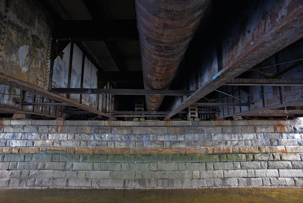
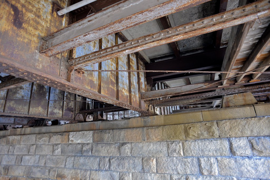
Why would they plan on replacing those piers? They look pretty good to me, and I'd expect that just putting a new roadway on the existing piers would be a lot easier than planting new ones in the bottom of the harbor...
 

Back
Top