found5dollar
Senior Member
- Joined
- Aug 27, 2007
- Messages
- 1,149
- Reaction score
- 404
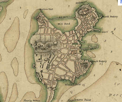
I was watching "How the States got Their Shapes" and there was a very interesting part about how the roads got laid out in Boston originally. Very interesting stuff.
http://www.hulu.com/watch/240954/ho...reat-plains-trains-and-automobiles#s-p1-so-i0
starts at about the 30 minute mark, right after a commercial.
http://www.hulu.com/watch/240954/ho...reat-plains-trains-and-automobiles#s-p1-so-i0
starts at about the 30 minute mark, right after a commercial.