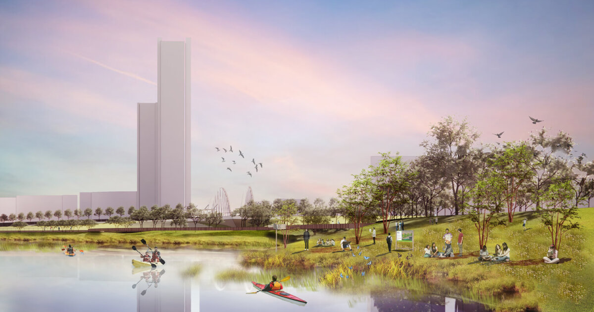
I've been excited about the Everett Docklands and Soccer Stadium (I still have an unreasonable amount of hope ) projects and got a bit carried away crayoning out a transit-oriented redesign of Sweester Circle using as much of the existing bridge structures as possible. The goal is a pedestrian-friendly central transfer point between an in-fill "Everett Junction" commuter rail stop and the frequent bus service in BNRD/SLX (SL6, T109,T110). Additionally, this could tie in quite well with the dedicated busway going down Broadway/Alford.
The inner radius of the circle is about 350ft from Google Maps
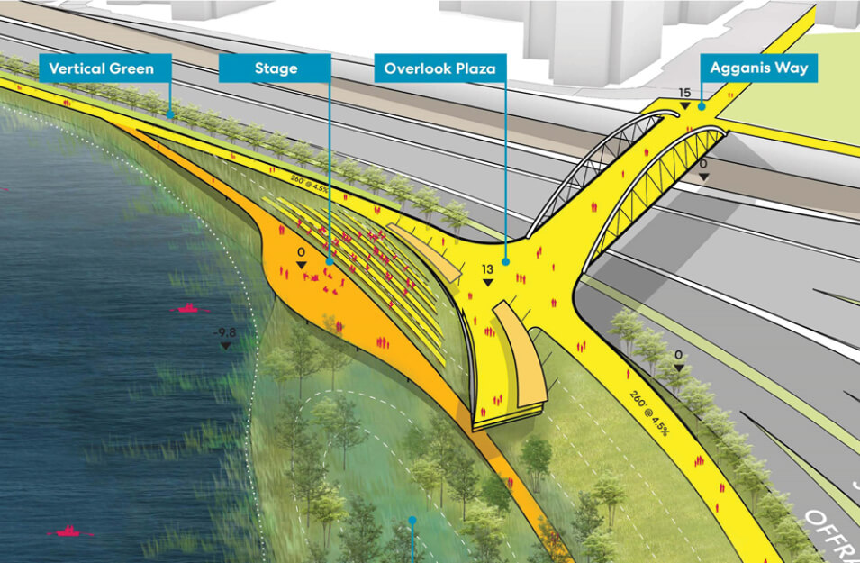
View attachment 54602View attachment 54620
My main concern is the traffic layout. I know the circle can get backed up and I don't even know if this works or if it's a traffic nightmare. The on-ramp to Revere Beach Pkwy seems especially rough.