Fort Point Infill and Small Developments

today
002-6.jpg
003-10.jpg
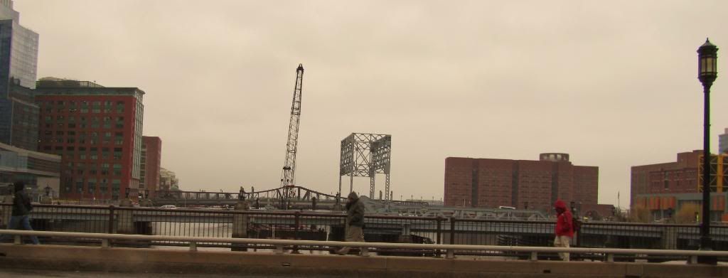
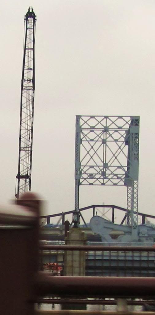
work being done.
 
Construction of the public dock along the east seawall south of Summer Street (at the Harborwalk along Gillette's parking lot) began yesterday.

This dock was part of the mitigation package for the CAT/Tunnel project.

The dock is a decent size -- maybe as much as 60 feet wide, and will allow for 24/7 access, dropoff of kayaks as well as touch-and-go boat access (smaller powerboats can clear the bridges at mid-to-low tide).

As long as it's got decent security. I used to work at Channel Center and have on one occasion seen cops standing on both sides of the Channel while one of the homeless winos who congregate on the Harborwalk by the Gillette parking lots made a swim for it to the derelict docks off the Post Office side of the Channel. Obviously evading the cops for something not-nice they were paying him a visit for. It was an amusing sight to say the least, since there were no police boats available and the cops just had to stand there and wait him out until he could be coaxed to swim back and get his comeuppance. Folks I talked to say this sort of thing isn't exactly a rare occurrence.
 
One update on public access...

I went by Fan Pier last night and noticed it looks like the dock allows for 24/7 touch and go access.

Also, the latest Boston Harbor Association comment letter calls for public access points at Independence Wharf's new (future) dock, itself connecting with the three properties at Intercontinental and Russia Wharf (d/b/a Atlantic Wharf).

So the dock under construction at Gillette's seawall will be one of numerous 24/7 public access points. This is a major plus for Boston and the harbor, which had been entirely privatized to boaters and paddlers as far as Dorchester's ramp.
 
Clearance under all bridges except Moakley is a problem for scheduled service. The taxi does operate very reliably at call depending on clearance.

The Old Northern Bridge still opens, but it takes an advance notice. I don't think it is ever manned for immediate response so I doubt the taxis call for it to open at mid-to-high tide. They probably would tell you to meet them at the Courthouse dock.

The water taxi will pick up and drop off at the Intercontinental dock (relatively recent), but that dock is not open for 24/7 public touch and go. Yet.

The latest TBHA letter indicates that ferry/taxi service is planned for the future Channel Walk dock along the west side of the Channel across from Childrens Museum. The Childrens Museum is also planning its own dock for ferry/taxi access.

Far as I know, no taxi or ferry service was ever planned for the location I wrote about currently under construction south of Summer Street, or any other location in the Channel south of Congress. Access to the dock currently under construction by boat is subject to clearance under Summer and Congress Street, which would limit hours to probably 12 hours of mid-to-high tide out of a 24 hour day -- nothing a ferry could accommodate.
 
Access to the dock currently under construction by boat is subject to clearance under Summer and Congress Street, which would limit hours to probably 12 hours of mid-to-high tide out of a 24 hour day -- nothing a ferry could accommodate.
Think you mean mid-to low tide.

Amsterdam's canals have low-slung boats that require not much clearance.
 
Clearance under all bridges except Moakley is a problem for scheduled service.

The span would also be elevated by 8 feet so it would not have to be opened for boat traffic at high tide.

http://www.boston.com/business/articles/2008/11/14/city_rebuild_northern_ave_span/


Plans: http://www.bostonredevelopmentauthority.org/pdf/PlanningPublications/NorthernAveBridge-081113.pdf


This is interesting:
NORTHERN AVENUE BRIDGE, CITY OF BOSTON TRANSPORTATION DEPARTMENT, BOSTON CITY HALL � RM 710, BOSTON, MA 02201

FY2011

$3,000,000

The City of Boston has requested funds for the Design and Rehabilitation of Northern Avenue Bridge. The historic Northern Avenue Bridge is a part of the emergency evacuation network for the South Boston area that houses the U.S. Federal Courthouse, and it is in a state of disrepair that requires attention to prevent further degradation and the development of public safety concerns.

http://lynch.house.gov/appropriatio...nt-boston-city-hall-rm-710-boston-ma-02.shtml
 
Last edited:
^PaulC

Mayor Menino's BRA have been issuing one press release after another for Old Northern Avenue bridge for a dozen years now.

I'll believe the $35m project you cite when I see it. Unless Seaport Square's development team is paying for the bridge's reconstruction (which I wouldn't doubt given the players and the game) it ain't happening.

About a dozen years ago, the Mayor and BRA insisted that the bridge be demolished, supporting the State legislation requiring demolition with construction of the Moakley bridge.

Never happened.

In the late 1990's, after a year or longer public process with numerous developers competing in response to a BRA Request for Proposals, the BRA selected Forest City for a complete redevelopment of the bridge.

Never happened.

Then the Mayor and BRA issued a new round of press releases about preserving the existing bridge and restoring it.

The bridge was restored. Half of the tender's house was restored, the rest demolished.

^ablarc

Thanks for the correction. I meant low tide.

As for low-slung, it would have to be very low slung. I have a Boston Whaler requiring 4 feet of clearance and can't get under the Congress Street bridge for 1-2 hours on either side of high tide. For 2-3 hours, I have to duck, which might be a tough sell even in Amsterdam. Admittedly, I don't know about the capabilities of the canal boats mentioned.
 
Why are the new bridges completely flat and unmovable? Why couldn't they at least have a nice, subtle arch to them....
 
Why are the new bridges completely flat and unmovable? Why couldn't they at least have a nice, subtle arch to them....

Which new bridges? Only the Moakley is new, and it arcs to allow for navigation below.

Do you mean the proposed redesign of the Old Northern?
 
The historic Summer Street bridge opened on a diagonal as you describe, on small wheels and tracks extending outward at an angle. That bridge was rehabbed within the past 10 years, at which point the wheels no longer touched the tracks and the bridge was rendered completely inoperable.

Summer Street, Congress Street and Old Northern Ave each employed their own unique mechanism for opening to allow for navigation. The engineering was state-of-the-art in the 19th century and early 20th century. Those historic bridges may have been flat rather than having an arch for reasons including the possible need for installation of rail tracks.

I don't know why the recent redesign of Old Northern as posted by Paul C was selected from other possible designs. It may be a cost issue, or a goal of preserving as much as possible of the existing historic design.

Some more information than you might want to know about the bridges along the Channel: A fourth bridge down by Mt. Washington Street was demolished long ago. Further down the Channel, the renown Old Colony Bridge (which had counterweights that looked like fingers) was demolished for CAT/Tunnel, and an entire "finger" preserved in a small park by the USPS gate on Dorchester Street (visible from the foot of the Broadway Bridge).
 
Two updates.

A) The public dock just south of Summer Street (discussed above) is well under way. It is quite beautiful.

B) Heard yesterday that 381 Congress Street is proposing rehab as an apartment building.
 
Fort Point Pier is nearing completion. This will be a public pier and dock with access to Fort Point Channel and Boston Harbor. Courtesy of CAT/Tunnel project. Nice.

Zrn9z.jpg
 

Back
Top