You are using an out of date browser. It may not display this or other websites correctly.
You should upgrade or use an alternative browser.
You should upgrade or use an alternative browser.
I-90 Interchange Improvement Project & West Station | Allston
- Thread starter Matthew
- Start date
bigpicture7
Senior Member
- Joined
- May 5, 2016
- Messages
- 4,068
- Reaction score
- 10,551
The solution is obvious folks. Elevate the river instead and put the cars under it
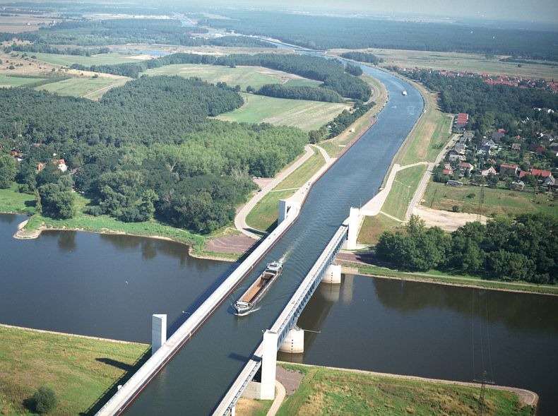
Yes, but let's please also add two of these. That way we can get the boats up and down from the elevated river. Come on, if you're going to plan this project, you've got to plan it responsibly, considering all stakeholders.

Last edited:
Equilibria
Senior Member
- Joined
- May 6, 2007
- Messages
- 7,229
- Reaction score
- 8,759
I thought it was settled that the Feds aren't going to allow filling in the river at all.
I don't think that was their most recent objection. They're complaining that the roadways on land are below the flood level.
MjolnirMan
Active Member
- Joined
- Jan 18, 2016
- Messages
- 285
- Reaction score
- 638
Filling in the river is absolutely inappropriate and would harm the natural ecosystem. The developers should dedicate part of this project to restoring the Charles River to its pre-1857 water levels and conditions.

Charlie_mta
Senior Member
- Joined
- Jul 15, 2006
- Messages
- 5,150
- Reaction score
- 7,778
One way to eliminate the elevated ped/bikeway over the river is to transfer all the peds and bikes to kayaks for the journey thru the Throat area:

RandomWalk
Senior Member
- Joined
- Feb 2, 2014
- Messages
- 3,793
- Reaction score
- 6,817
Replace the Pike with a log flume.
bigpicture7
Senior Member
- Joined
- May 5, 2016
- Messages
- 4,068
- Reaction score
- 10,551
I know that normally aB mods would swoop in about now to shut down this silly thread derailment, but I urge them to consider, in this rare instance, that the above discourse actually accurately reflects the authentic planning insanity associated with this particular project.
Filling in the river is absolutely inappropriate and would harm the natural ecosystem. The developers should dedicate part of this project to restoring the Charles River to its pre-1857 water levels and conditions.
You know that anything like the Back Bay project would never be approved now.
JeffDowntown
Senior Member
- Joined
- May 28, 2007
- Messages
- 5,048
- Reaction score
- 4,225
Even the Mill Dam is a serious intrusion on tidal flows. Need to rewind back to a pre-1800 configuration to get real Boston Proper tidal flows.Filling in the river is absolutely inappropriate and would harm the natural ecosystem. The developers should dedicate part of this project to restoring the Charles River to its pre-1857 water levels and conditions.
View attachment 15540
You joke, but that's exactly what they're doing in Pennsylvania...Even the Mill Dam is a serious intrusion on tidal flows. Need to rewind back to a pre-1800 configuration to get real Boston Proper tidal flows.
BostonTrainGuy
Active Member
- Joined
- Sep 18, 2020
- Messages
- 159
- Reaction score
- 142
Even the Mill Dam is a serious intrusion on tidal flows. Need to rewind back to a pre-1800 configuration to get real Boston Proper tidal flows.
Umm . . . how far back do you want to go? The basin is unnatural. It's a total FAKE. Completely man made. So you want to go back to the natural mud flats of the 1800s? Personally I think it looks and smells a lot better now.
P.S. And since this area is not natural and actually man-made then what's the big objection in taking four feet of it?
JeffDowntown
Senior Member
- Joined
- May 28, 2007
- Messages
- 5,048
- Reaction score
- 4,225
I was being sarcastic. I was taking the comment to the reductio ad absurdum.Umm . . . how far back do you want to go? The basin is unnatural. It's a total FAKE. Completely man made. So you want to go back to the natural mud flats of the 1800s? Personally I think it looks and smells a lot better now.
P.S. And since this area is not natural and actually man-made then what's the big objection in taking four feet of it?

BostonTrainGuy
Active Member
- Joined
- Sep 18, 2020
- Messages
- 159
- Reaction score
- 142
Except for the P.S., I was also speaking tongue-in-cheek but I bet there are some hard-core people out there who think it should revert back to its natural state even though it was an unpleasant cesspool
HenryAlan
Senior Member
- Joined
- Dec 15, 2009
- Messages
- 4,473
- Reaction score
- 5,256
I'm pretty sure the comment about 1857 was already meant as such.I was being sarcastic. I was taking the comment to the reductio ad absurdum.
BostonTrainGuy
Active Member
- Joined
- Sep 18, 2020
- Messages
- 159
- Reaction score
- 142
I'm not up there right now but the flooding seems severe in certain places. Was there any problem in the throat area? If there was no flooding after this storm what would it take to actually flood the area? Maybe the flood concern is unfounded?
bigpicture7
Senior Member
- Joined
- May 5, 2016
- Messages
- 4,068
- Reaction score
- 10,551

Mass. Pike in Allston will be grounded, state says, vowing to move forward with mega transportation project - The Boston Globe
The megaproject — now projected to cost $1.7 billion — would straighten out the Turnpike’s curve in the area, build a new transit station on the Worcester/Framingham commuter rail line, and open up around 100 acres of land for development in Allston.
 www.bostonglobe.com
By reducing the highway’s shoulders in certain sections and using a roughly seven-foot-wide stretch of land provided by Boston University, the new design would fit eight lanes of the Pike, four lanes of Soldiers Field Road, and four rail tracks at ground level on land, while cantilevering the Paul Dudley White pedestrian and bike path over the river.
Last edited:
bigpicture7
Senior Member
- Joined
- May 5, 2016
- Messages
- 4,068
- Reaction score
- 10,551
I wonder how much BU is getting for that land.
Hopefully restoring/retaining their dignity in this matter was compensation enough.