Cambridge has the largest subway line in the city running up it's spine with multiple stops and is a huge bus hub/has an extensive bus network. This area....does not.
You've drawn a comparison with the Seaport being congested without giving much attention to the reasons people use cars beyond road travel lanes existing.
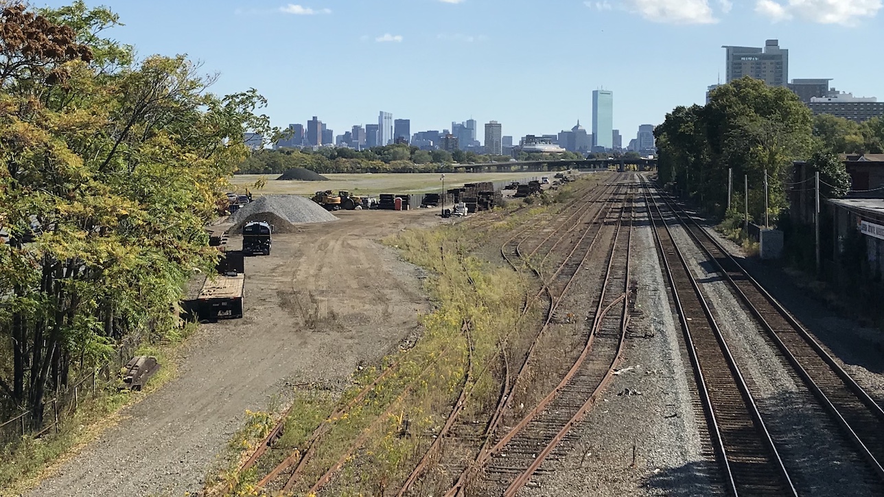
Unless someone's going to come up with a much more drastic transit proposal than anything remotely proposed to date, if built up/densely like seems to be expected, it's going to be Seaport 2.0 in terms of access challenges and is going to have a lot of people getting there by car by necessity. However, I doubt that transit proposal will cost less in initial capital than asphalt does, so I'm not sure I expect the "construction cost" angle to be compelling.
----------
Although I'd also suggest that part of the design problem here is that we're sketching a neighborhood with basically zero idea of what's going to go in it. We know it's valuable land and that's seemingly it.
AFAIK - Harvard has given zero indication of what they'd like to do with the land south of Cambridge St. The zoning looks like it hasn't been touched in 20-30 years and is wildly off-base from what anyone seems to expect would actually go in there when it's developed.
Seemingly no one has even wanted to conceptualize that yet in any way.
This could be a sea of tall buildings with limited transit like the Seaport. No reason you couldn't be putting 30 story buildings in here. You'd certainly need every ounce of road capacity if you're not going to build anything more than a few buses and a few Worcester Line trains for transit. This could be a bunch of college research buildings with little demand for vehicle access.
--------
I'll suggest that a more optimal strategy at this point may be to simply push off the decision about much of it - possibly in a similar fashion as I think
@Charlie_mta is getting at. Skip actually building basically everything between Cambridge St South + Cambridge St for now until we've got some actual zoning + development concepts in there.