I-90 Interchange Improvement Project & West Station | Allston

If it didn't already have a name, Back Bay would be the logical spot for a "West Station" that deserves similar billing/branding to North and South Station. All three serve multiple regional rail lines, multiple rapid transit options, and are in the core downtown area. A station in an outlying district on a single line, not so much.
 
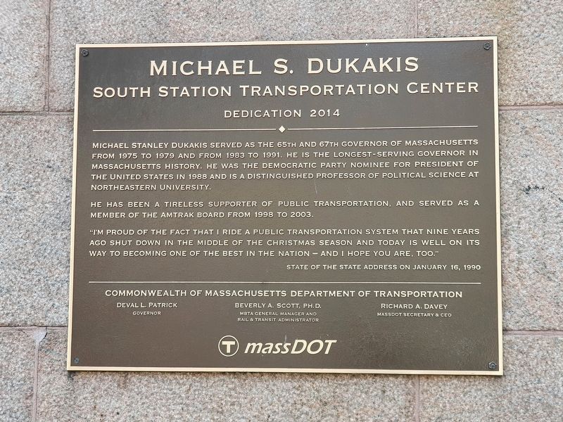
I vote for Dukakis Station, which will probably get shortened to The Duke.
Already been attempted. . .
Photo597319.jpg
 
Or "Beaconparkyardville"? Only locals will know it's pronounced "Bake'll."

I love it and now won't accept any other name. However, rather than "Bake'll", I think it will be abbreviated as "BPYV" and pronounced as "Beep Yiv".
 
  • Not a highway project
    • Expands the highway. Pushes the walking path out into the river.
  • Protects the shoreline
    • Puts the walking path in the river, also a temporary road on the river, maybe.
  • Safer streets
    • Giant, brand new streets with protected bike lanes
  • Commuter rail expansion
    • Not even included in the project. Which I'm not sure people realize -- they're just leaving space for one to come in 2035 or sometime in the future
1706905040553.png

Challenge -- compare the transit ROW to a highway wide enough to belong in California
 
  • Not a highway project
    • Expands the highway. Pushes the walking path out into the river.
  • Protects the shoreline
    • Puts the walking path in the river, also a temporary road on the river, maybe.
  • Safer streets
    • Giant, brand new streets with protected bike lanes
  • Commuter rail expansion
    • Not even included in the project. Which I'm not sure people realize -- they're just leaving space for one to come in 2035 or sometime in the future
Challenge -- compare the transit ROW to a highway wide enough to belong in California
If we are being honest - 2035 is probably pretty optimistic for the project in general at this point. 2035 is probably good timing for a station.
 
Last edited:
It's not a highway project. It's a real estate project.
Well then, it's extra stupid, because real estate is space for people, highways are spaces for cars, and the latter directly eats into the former.

Pretending that there's no connection between the two is dumb, to be kind.
 
Well then, it's extra stupid, because real estate is space for people, highways are spaces for cars, and the latter directly eats into the former.

Pretending that there's no connection between the two is dumb, to be kind.

The whole point of this is to make room so that Harvard can make Seaport 2.0.
 
It's not a highway project. It's a real estate project.
The whole point of this is to make room so that Harvard can make Seaport 2.0.
Pray tell, when did the 'throat' and the whole at-grade hullabaloo start abutting Harvard-owned land? Soldiers Field Road and the paths have already peeled well away before there's a single acre of Harvard property deed. This design decision goes nowhere near Harvard. The only state-owned transportation land capable of giving Harvard one more developable acre is if the T scrapped its layover yard plan.

The Pike straightening and new interchange through Beacon Park to TBD street grid was the result of a simple land swap. If the viaduct had any more years left in it, they could've done the straightening alignment in from Cambridge St. and inclined-up into the fully existing structure about 600 ft. in and preserved three-quarters of it as-is. Done it for 1/10th the cost and a pittance of the disruption. They didn't/couldn't, because the viaduct is in such poor condition it has to be replaced. But the viaduct--and replacement design decisions therein--are located entirely where Harvard ain't.
 
Last edited:

Back
Top