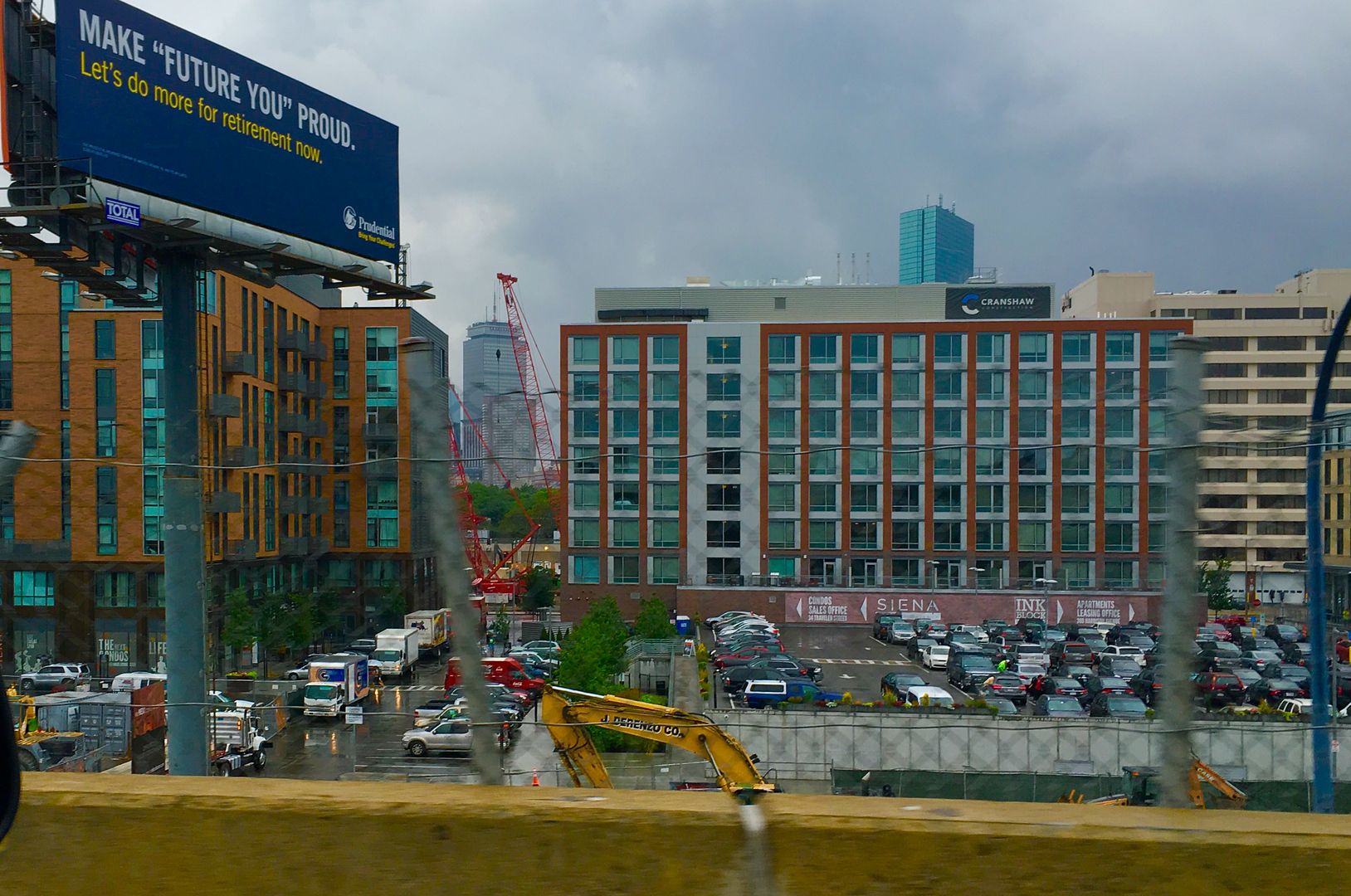
Ink Block (Boston Herald) | 300 Harrison Avenue | South End

Tufts is just as close as well.

This whole discussion really underscores what a huge psychological barrier highways are in the the urban environment.

We can rationally know that a location is close; but it feels cut off if there is a highway in the way.
 
Apologies for the MAJOR derailment of the thread...

Webcam shows they've finished site cleanup and prep. A pile driver is now on site...driving piles.
 
Beeline -- just like the Back Bay -- the South End is fill that was dumped into an area that ranged from a bit of land always above sea level {Boston Neck at Orange -- now Washington St} to mud flats at low tide and eventually a shallow bay all of the time

images

Note a fairly modern city map undneath the colors -- Colors are circa 1820's
original land is yellow [hills are brown]
filled swampy land in green

bos_ani4.gif

bos_ani8.gif


And if that wasn't enough -- unlike the Back Bay that was filled by moving hills of gravel from Needham -- the South Bay was filled with whatever was available
 
Last edited:

Back
Top