LYNN — Moving the River Works commuter rail station a third of a mile north of its present location and making it accessible to the public is a big part of a new vision for public transportation in West Lynn. In recent weeks, it was announced that the city had received $561,000 through the U.S. […]

itemlive.com
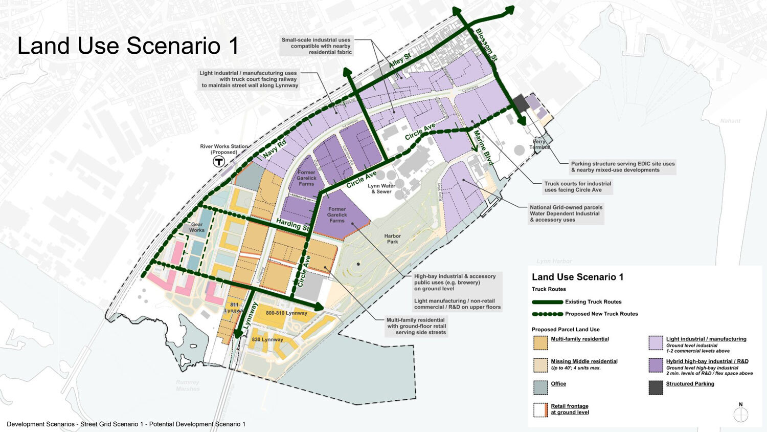
LYNN — Moving the River Works commuter rail station a third of a mile north of its present location and making it accessible to the public is a big part of a new vision for public transportation in West Lynn.
In recent weeks, it was announced that the city had received $561,000 through the U.S. Department of Transportation’s Reconnecting Communities and Neighborhoods (RCN) Grant Program to reimagine the city’s public transportation system. The money is part of $3.3 billion in grant awards for 132 communities.
As part of the city’s first comprehensive plan, Vision Lynn, Mayor Jared Nicholson said the city will be using the federal funds towards Lynn’s River Works Reimagined Community planning study. The study will be used to initiate funding, design, and construction of a relocated commuter rail station.
According to a press release from the Mayor’s office, the plan is to relocate the station one-third of a mile north of its current location, making it publicly accessible while reconnecting West Lynn.
The current station is located on Western Avenue, operates on the Newburyport/Rockport line, and serves only employees of General Electric.
“(The idea for a new station) came up in the Transit Action Plan that the city did a couple years ago, and really, for years, folks have seen this stop on the commuter rail and imagined the potential if it were to be open to the public,” Nicholson said.
Nicholson continued, saying that the plan to relocate the station coincides with the region’s larger plan of electrification, which will save residents time, increase reliability, lead to more affordable fares, and provide a “truly regional rail system.”
“We desperately need better access to transportation for all the reasons that people have for getting around. We want to connect our residents with good paying jobs, and they need to be able to access the broader region,” Nicholson said.
He said the improved transportation creates access to education, healthcare, affordable housing, and improves traffic in the city by taking cars off the road.
The ultimate timeline of the planning and the project are not known yet.
“The city has been underserved by transit access for decades, and it’s moments like this that a different future starts to become, starts to feel more attainable,” Nicholson said.