MBTA Construction Projects

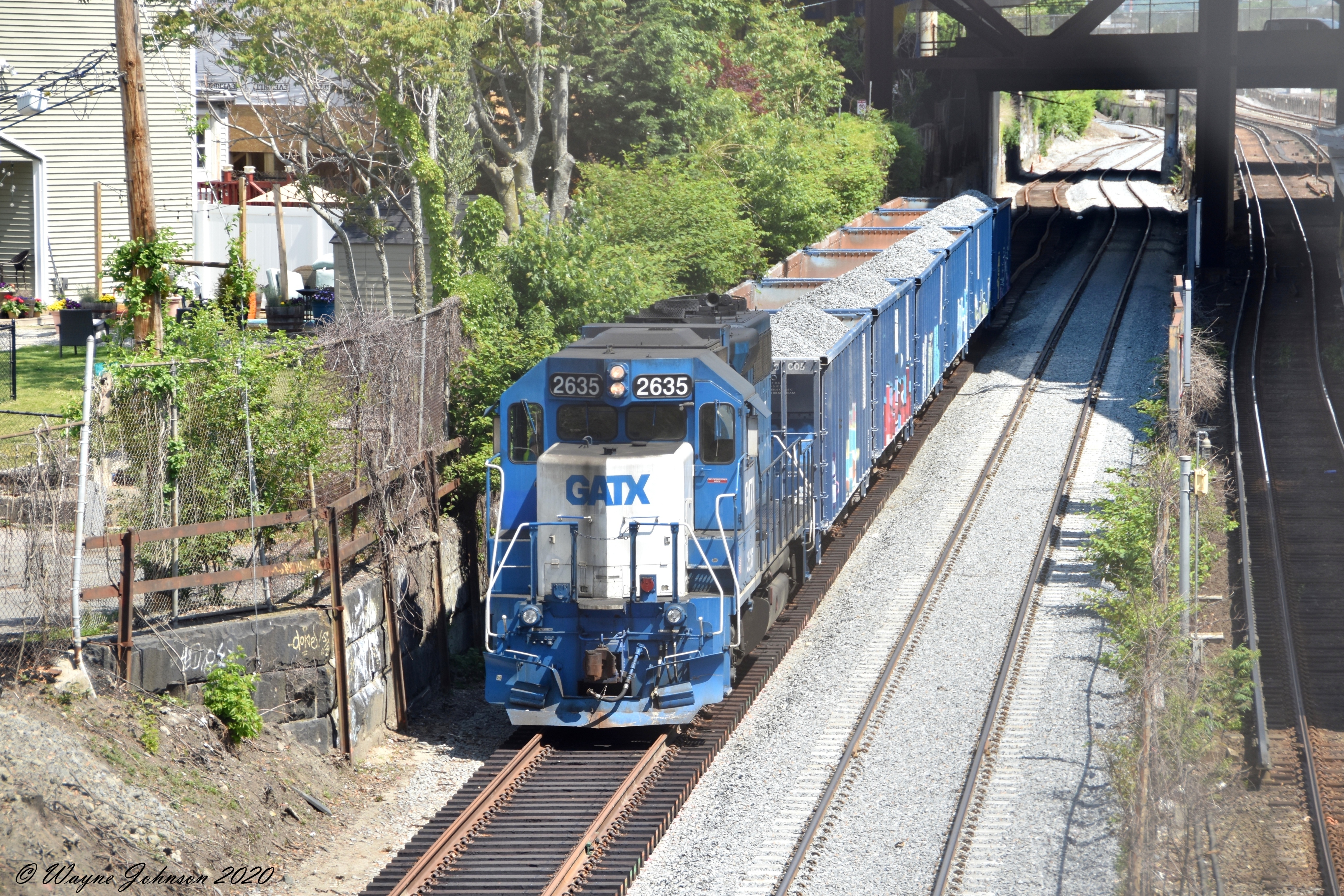
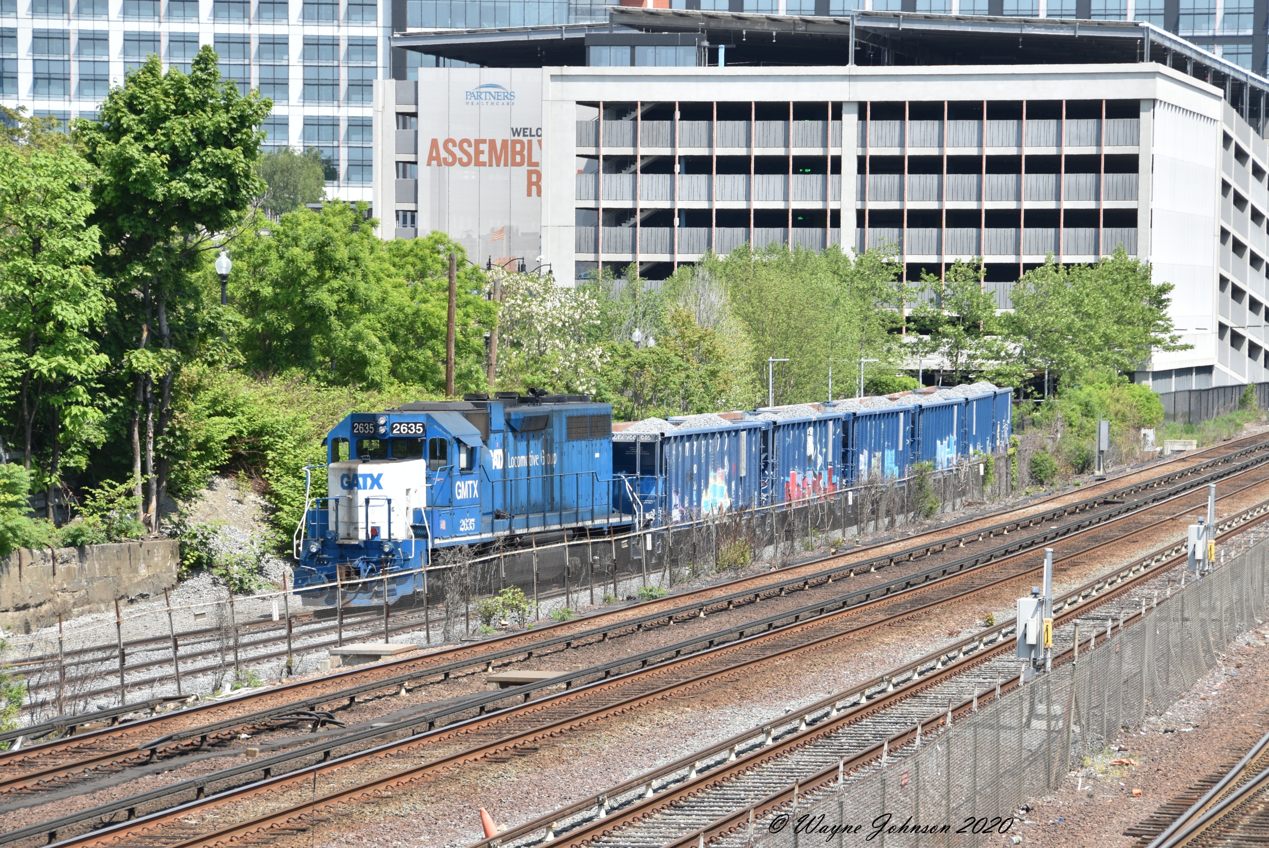
Hmm makes sense. I was wondering too because this bridge is from I believe 1909. In another 110 years I could imagine needing 2 tracks for worcester regular service, and the other 2 for a more rapid indigo emu type deal on the ROW out to Framingham. They could do a full EMU conversion out to worcester and use the 3rd track for freight/passing but idk it just doesnt seem good to downgrade something that could be around for a century on a ROW like this, but in all reality 3 tracks can be made to work pretty fine, in 100 years the mbta will probably still be broke, and faster speeds is hopefully worth it. Ill take your word for it.

Keep in mind, the quad-track B&A grading is a relic from the days when signaling was unidirectional-only. While automatic block signaling has been around since the Civil War, until the first few decades of 20th century it was cumbersome as hell to run "wrong-rail" and automatic crossovers were an extremely expensive proposition (requiring complicated pneumatic machinery in the days before electric switch motors got simplified). So to run any sort of heavy layered freight schedule + pax local schedule + pax intercity schedule you simply segregated the traffic outright 2 "lanes" per direction. Every single mainline out of Boston used to be quad--NEC, B&A, Western, Eastern, NH Main, Old Colony--until its first major junction because of that. And it wasn't because the traffic was so heavy that it was saturating 4 tracks, but rather that meets were so hard to stage without having a whole army of human switch tenders out in the field that they just fattened each ROW out brute-force by default rather than attempt to squeeze any meet/overtake density out of the works. What you ended up with were 4 one-way tracks that weren't anywhere close to utilized to their native capacity, even during the historical peaks for traffic density.

Today's bi-directional running where either track can run either direction equally and well-spaced automatic crossovers handle meets/overtakes, lets 2 efficiency-minded tracks carry the same or more traffic as the 4 unidirectional tracks of old. Most lines that are tri-track today are ones that used to be 5+ tracks back in the day. And the only places in the world you really see quad-track are 1) where there's a very large speed differential between the express trains and the local trains making timing of crossover meets harder, such as a mixed HSR + commuter corridor, or 2) truly nutty-density outliers like the New Haven Line where both the local and express tracks have traffic running up against the taillights all day (New Haven is right now at historical peak traffic levels) making it de facto single-file. Plans to quad-track the NEC in Providence Line territory slot firmly into category #1, as it's 150 MPH HSR territory co-mingled with commuter locals that on an EMU won't top 80-90 MPH because of stop spacing. There is no precedent for #2 in the U.S. beyond the New Haven Line (west-of-Stamford in particular) and City Zone LIRR feeding into Jamaica transfer.

So for the B&A the most you will ever ever need is 3 tracks...and of course the Pike squeezes that out inside 128 so you're simply loading up on future crossover density in Allston/Newton to support the layer cake of Urban Rail, RUR, Worcester super-expresses, and Amtrak Inlands. The fastest Amtrak non-stops in MBTA territory probably aren't going much more than 90+ after curve-straightening; it can be curve-eased into "pretty fast" corridor through MetroWest but nothing like the NEC straightaway from Sharon to the RI state line. So the speed differential isn't humongously large for express vs. local. Then the fact that MetroWest not even 100 years from now will ever approach the abutting density of the New Haven Line and you're pretty much set for life at tri-track spacing.
 
Last edited:
I can easily believe that given modern signals and crossovers, curve straightening on 3 tracks is more valuable than a 4th track.


LIRR runs crazy dense bidirectional express-local on 3 tracks. I was watching in Lynbrook having overshot Jamaica. It was the evening rush hour, and I am pretty sure I noted outbound trains skipping Lynbrook on all 3 tracks, while outbounds stopped on right and center, and inbounds stopped on left and center.

Clearly the kind where the ancient style would have been to use the center track for rush direction expresses, where modern signals allowed them to disperse expresses everywhere.
 
Per NERail. . .

2020060322563612142.jpg


2020060322581412237.jpg


Keolis work train (one of the 4 leased GP38-2 rental locos + the now thoroughly-grafittied MassDOT auto-dump ballast cars the state bought last year) was putting the final top coat on rebuilt Yard 21's wall track and Assembly runaround the last couple days. Looks like this was the finishing touch as all track is tamped, connected, and otherwise ready to go. OL commuters: watch for Pan Am crews doing qualifying runs over the next 2 weeks to get used to their new yard digs.
 

Some background at last as to why Gloucester Draw replacement now has to be full shutdown instead of working around uninterrupted trains. After demolishing the south half the approach spans they began in late-April/early-May the process of excavating around the remaining old abutments the moving bascule rested on to begin temp utility relocations. The temp utilities were what would keep the moving bascule--now single-tracked on the northerly side to reduce its resting weight in the closed position for when the southerly half of the abutments was to be partial-demoed--in-service throughout while they completed the southerly abutment half-demo and started the half-pour for the new span's half-abutments. Initial excavation found those 1911 abutments to be so alarmingly decayed behind the surface retaining wall that it was basically hollow inside. Work had to stop immediately because completing any more of the partial demo tasks risked destabilizing it to the point of imminent collapse. The washout of all the stabilizing soil behind the abutment was deemed so severe that there was no practical way to shore it back up while continuing work on the replacement via half-old/half-new staging and utility relocation. So the bridge had to be permanently closed, and they've re-sequenced it to full demolition first...complete instead of simultaneous/staged build of the new span second.
 
Last edited:

Interminably delayed Winchester Ctr. Station renovations show few signs of getting less interminably delayed. Battle lines thoroughly drawn between MassDOT trying to chop features for cost savings, town trying to uphold past I.O.U.'s, and cost splits between the two parties.

It sounds like they're at least hashing through some of the hangups with actionable counterproposals and keeping cool enough heads that this won't blow nuclear, but dear god has this one been a managerial FAIL at getting itself to the starting gates in one piece. Horribly late, and perpetually snagging itself on too many small details that were glossed over in early planning. Exhibit Y for the need to tighten-it-the-fuck-up agengy wide on project mgt. oversight.
 
2020071319093631530.jpg


Cape Rail be gettin' smoother track. MassDOT continuing its multi-year wad of programmed Falmouth Branch improvements with a big tie replacement job kicking off this week with this ^unusual track critter^ dropping off bundles of ties (shown here along the Monument Beach Station platform). Ostensibly a grant for Otis Transfer Station and Otis AFB freight, but the Dinner Train hopes to make equal use of the improved track scheduling a fuller Falmouth schedule slate next season.
 
And now that they've finished dropping the bundles of 12,500 new ties the whole length of the Falmouth Branch Cape Jct. to Otis Jct., these other steampunk track critters have shown up to start the tie changeouts. Yesterday kicked off from the Borne end of the line before calling it a day at Monument Beach Station...resuming work today at Monument Beach.

2020071705091316240.jpg


2020071705071715994.jpg


Note the marked contrast in old ties vs. new. The old crap is literally crumbling to shards in the machines' claws. Most of those date to 1979 when the branch was last extensively rebuilt by Conrail, back when regular freight jobs were still going to the freight house at Falmouth Depot and it was anticipated that state-funded passenger service was to start there "any year now".
 
Any one know what this is costing?

I itemized the full CIP FY18-21 list of on-Cape upgrades on a RR.net post a couple years ago. Copypasta'd here. . .

Cape Main (Middleboro-Hyannis)
Cohasset Narrows Bridge replacement: $8.2M
Track work (cumulative): $7M
Yards and "support facilities": $6.8M <-- ED: Hyannis layover? Rochester Yard/trash train upgrades?
Yard track work (cumulative): $3.7M
Hyannis Yard reconfig (rail + crossing work related to Route 28 reconfig): $2.2M
Bridges and culverts (cumulative): $2.1M
Grade crossing improvements: $1.9M
Siding upgrades (rail, ties, ballast) @ Tremont, Sagamore, Sandwich, W. Barnstable: $1.5M
Station fencing/railing installs @ Hyannis, Wareham: $183K
Other (cumulative) - $558K

Falmouth Secondary
Grade crossing improvements: $1.5M
"Structures": $1.2M
Track improvements (cumulative): $999K
Bridges and culverts (cumulative) - $135K
Other (cumulative) - $73K

South Dennis Secondary
Grade crossing improvements: $588K
Track improvements: $460K
Other: $147K

Middleboro Secondary
Track and switches improvements (cumulative): $12.9M
Grade crossing protection improvements: $3.6M
Bridges and culverts (cumulative): $2.9M
Grade crossing improvements (surfaces?): $1.8M
Other (cumulative): $2.6M

Most of these items are already complete as this is Construction Season #3 for the upgrades. This year's Falmouth tie replacement is probably the "Track improvements" item, but the same bidder (RailWorks) was doing the tie replacements on the other lines so the cumulative contract probably lumps a bunch of these CIP line items together. Falmouth grade crossings and culverts were done last year.

Otis Branch stuff is programmed, too, but that either isn't on this list, is stuffed in some other non-Falmouth line item, or landed on the CIP after ^this^ whole package. They've got resurfacing work there and have to get the runaround track and wye track operational so the trash train no longer has to stage awkward shove moves at North Falmouth runaround. Joint Base Cape is going to be doing its own self-paid upgrades from where its self-owned track starts north of the wye, per Gen. Whatshisface running the show over there. They eventually want to be able to transport military caravans on rail flatbed for field training exercises without clogging the bridges, sort of like NH Nat'l Guard does off the White Mountain Branch north of Concord.


There are rumors (but only rumors) that when the full package is all said and done that MassDOT will eventually be seeking to buy an easement through this dude's backyard to install a wye at Cape Jct. that allows for passage between the Main and Falmouth Branches without needing to cross the bridge and reverse (switch on/off Maps view to see the property lines and pond outline). That would be the killer get because it would allow the Dinner Train a full Hyannis-North Falmouth thru run to some of the prettiest scenery on the Cape, and give Cape Rail passenger + freight spanning access between crowded Hyannis Yard and all the unused yard space at Otis Transfer Station. As well as keeping them fully schedule-separated from any Buzzards Bay commuter rail extension, and being more miserly overall with bridge openings so future commuter rail doesn't have to negotiate for as many. They're not saying anything about this because they don't want backyard dude to get any wild ideas about property valuation, but this is supposedly a final cherry-on-top effort they want to eventually secure.
 
Last edited:
Escaped official notice since the lack of FCMB meetings this summer means we haven't gotten a Commuter Rail PTC update in a few months, but. . .

Cab signals and PTC are now live on the innermost Worcester Line. The signal gantries controlling the new "CP 6" crossovers in Brighton near Parsons St. are now lit up like a Christmas tree, and all of the old B&A intermediate wayside signals from 1965 that you could see driving the Pike in Newton here, here, here, and here are now completely gone (probably also here by Ipswich St., but I wasn't down by that era today so couldn't verify) now that the in-cab readout replaces those. Signal heads still remain by Comm Ave. for the CP 3 crossovers, though the ancient B&A-era searchlights there will probably be upgraded to newer/shinier tri-color LED heads imminently if they haven't already. Not sure how far west to Framingham they've made it by now, but the changeover apparently happened inside-128 within the last 2 weeks.

New 60 MPH speed limit signs have also shown up between Newtonville and West Newton on a spot restriction where the track makes a very slight S-curve, meaning Inner Worcester's max speed limit is either right now or is imminently about to be raised from 60 to 79 MPH commensurate with the capabilities of the new signal system. Eliminates one painful bottleneck imposed by the old signal system that should now lift the OTP of all the Newton-skip trains when the uprate takes full effect end-to-end.
 
Last edited:

Yesterday's not-so-locally-rainy pass of TS Isaias was the first storm deployment of the new "Tiger Dam" flood prevention berm at the Aquarium Station entrance. Perma-solve upgrades are yet to come, but this giant roll-up plastic tube inflatable with fire hydrant water tested well on a dry run earlier this year and should do a much better job overall than entrance sandbags ever used to be able to at keeping an overtopped Long Wharf from draining straight into the station. When filled the tube stays well-weighted, and wraps contiguously around the station entrance (where sandbags usually leaked uselessly around corners). And then when they're done, the tube pumps empty into a storm drain and rolls up flat into a truck-portable storage chest.
 
Speaking of Aquarium station waterproofing, there's a new MBTA project page up. $1.7 M, construction from now to early 2021. Not a lot of details on what's actually being built.
 
From NErail...finishing touches of MassDOT's summer of Falmouth Branch upgrades:

Catumet Station platform (waiting for the ballast regulator machine to come through)
2020083119213611839.jpg


CCCR Dinner Train did a North Falmouth excursion last week on a construction mini-break before they started dumping stone. Reportedly the ride is way smoother now after the tie job and realigned rails. As before, these long-funded upgrades are for the benefit of Cape Rail which is now running 1-2x weekly construction debris freight transloads to Otis Transfer Station where a local customer, Cassova (stone's throw away from Otis on MA 151), is scaling up their business. And also so the Dinner Train can run a much fuller slate of Falmouth passenger excursions starting next season as a revenue increaser for CCCR, since Falmouth Br. by and large has the better scenery of the on-Cape routes. Branch has always been 25 MPH passenger end-to-end, but had gotten to be bit too-barfy ride quality for trying to enjoy a meal en route. That's now massively improved.
 

Public meeting today for replacement of the Haverhill Line bridge over Parker St. in Lawrence. Noteworthy mainly because the computer staging renders they did in the ^above^ meeting PDF are 'totes neat and super detailed. Set it to fit page-to-window and scroll the pages back and forth with your mouse wheel to get the full time-lapse effect.

Whoever did this needs to get more work doing agency presentations, because it's top-notch and makes a boring meeting subject like a bridge replacement seem fascinating.
 
Historical note: that bridge was built in 1930 for the new Lawrence station, which opened the next year. You can see the canopy in the renders - it was actually the MBTA station until 2004, when the McGovern Transportation Center opened. There's still an opening in the abutment for a staircase to the platforms, and a staircase on the north side as well. The brick station building is still intact and in commercial use.
 
Semi-update on this mysteriously under-radar project. . .

Updated aerial footage shows the cleared site for the new Haverhill Line layover: https://zoom.earth/#view=42.815253,-71.115439,17z. The physical NH state line is the north-facing tree border of the truck warehouse next door a tick north. This is immediately opposite the tracks from the "Option 6" layover that was studied for the canceled Plaistow extension. Atkinson, NH NIMBY's who fought the Plaistow extension so hard should have a field day screaming in impotence about this, since they can't do squat about what goes on 700 ft. inside the MA border in a zoned industrial park.

I'm not sure in the slightest how this oddly-shaped slab is going to be configured. It abuts trackside, but the turn angles from immediately adjacent are wicked sharp and it doesn't leave linear room post-curve to stuff full rush-hour sets before running out of room at the Hilldale Ave. fence. The 2-track freight siding on the plastics factory next door to the south would seem like the ideal entry point, where fan out into diagonal-pointing tracks running SE-to-NW would offer plenty of room. But if that's the case then they've got more land-clearing to do in the SE corner, and have to rebuild WBC Extrusion's freight siding because they're a very active freight customer that gets a few cars of plastic pellets per week (see Google's aerial for their siding occupied). Per Dave/GP40MC's report when this first surfaced the total layover storage is supposed to be less than Westminster or Newburyport layovers...that seems otherwise consistent with the acreage here if the unanswered insertion angle questions have answers coming.

Maybe another easement acquisition installment yet to go before the site prep is done??? Conspicuously the T has not fully-funded it for outfitting and activation yet, as that is waiting for another funding installment. Therefore Bradford Layover does not have a set ETA for retirement yet. That would be a strange sequence for this project--which is not a big-money production--unless there was still some easement-squaring fine print with the industrial neighbors to deliver before it's ready to be finished (doubt that ruffles any feathers with the plastics factory who'd be happy to take the money). Which makes sense given that this was a very quick-strike land acquisition (transacted only 1 year ago +/- a month), and explains the unusually nonexistent project documentation. They are probably still making it up as they go along. Otherwise they'd be shouting that Bradford closure ETA from the mountaintops to get the weary neighbors off their backs after 30 years of verbal combat and legal skirmishes over noise/fumes there.


Yes...Rosemont St. infill station on T-owned land for the canceled 1981 station is fully fair game once this opens. The new yard is 1/2 mile north of Rosemont...and 3 miles north of Haverhill Station so begging of a little low-hanging-fruit revenue infill of the deadheading mileage.

Well, wherever the new layover yard is going to be, it's not that site. The cleared land was for a tractor-trailer training school. MassGIS shows the property as owned by Big Bend LLC, address 304 VICTORY RD. #2 C/O NETTTS.
View attachment MBTA location 1 of 4.JPG
(Photo courtesy of my parents, who kindly took a detour on their way home from hiking.)
 

Back
Top