That said, the particular issue I would have especially with 1a would be how it would interface with the waterfront... basically it would be a 30 foot or so drop to the water, which might be good for Global Warming, but it would be a pretty far drop to make any River/Harbor Walk work out.
It could be the harbor "cliff" walk.
Chicago has a couple projects in the works that do exactly that, with plazas decked over rail/railyards that step down to a water level river walk; 150 North Riverside and 444 West Lake(River Pointe).
Here's the before:
150N Riverside
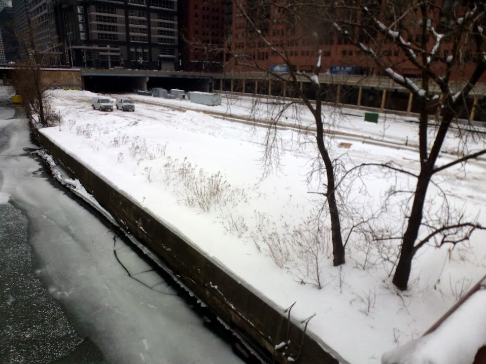
harryc
River Pointe
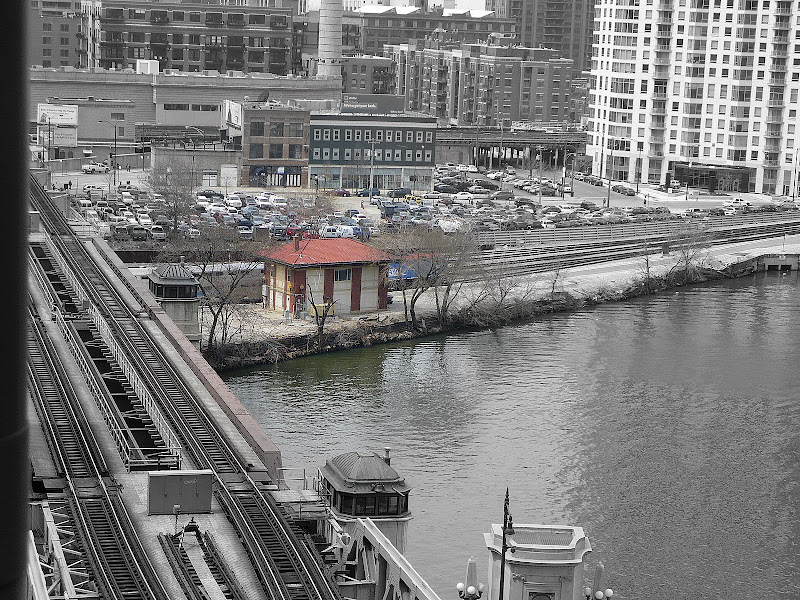
harryc
Current(150N Riverside on left and River Pointe on right):

Both Chicago parcels have somewhat more solid ground to work with than parcels 1a+b, but still necessitated dramatic cantilevers. The River Pointe project addresses the river walk poorly imho, giving it a lovely blank beige wall as a backdrop. The 150N Riverside river walk will be much more activated.

http://150northriverside.com/building/facts/
Draw what inspiration ye may from these projects.

") but if we go through 20 years of fighting over unrealistic proposals we're all going to be staring at that tow lot for a long, looong time.
but if we go through 20 years of fighting over unrealistic proposals we're all going to be staring at that tow lot for a long, looong time.