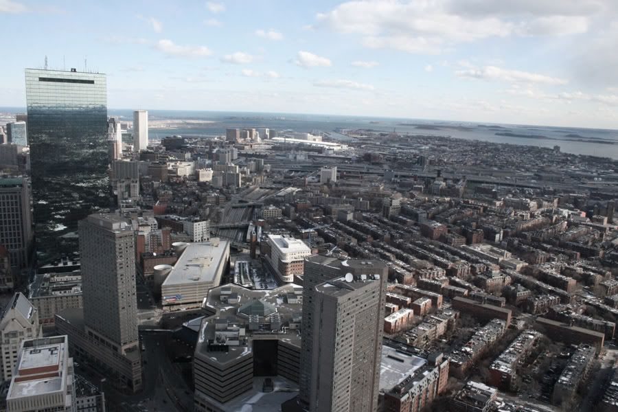
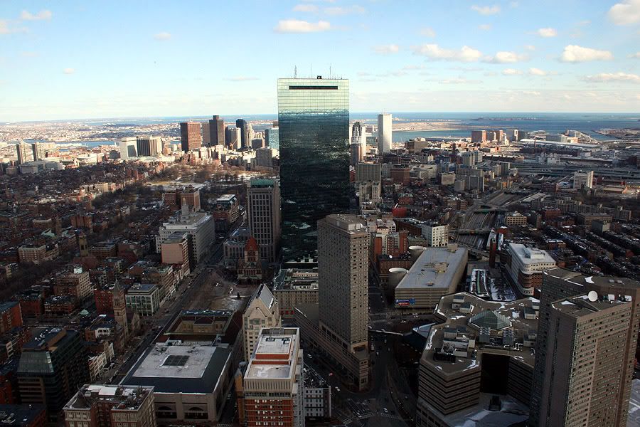
Photo of the Day, Boston Style - Part Deux

Status
Not open for further replies.
2201170559_bb3e481059.jpg


Camera: Canon PowerShot A570 IS
Exposure: 10 sec (10)
Aperture: f/8
Focal Length: 5.8 mm
ISO Speed: 80
Exposure Bias: 0/3 EV
Flash: Flash did not fire

Link Back to FLICK'R

http://www.flickr.com/photos/gmack24/2201170559/

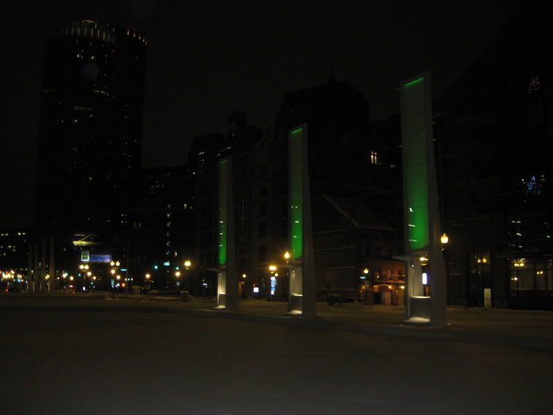
Here is a segment of the Boston Harborwalk near Necco Court and Binneford Street.

Binford Park: Binford Park, adjacent to Gillette's worldwide headquarters on Mt. Washington Street, is a half acre park boasting a lawn area, a beautiful pergola with benches, and a wonderful bulb garden. Before the park was constructed, more than 450,000 cubic yards of dirt were excavated from the area, creating a gigantic casting basin large enough to hold three ships the size of the Titanic. The casting basin was used to construct six sections of the tunnel that were floated into the Channel and submerged in a trench only feet above the MBTA's Red Line, extending ten underground lanes of the Masschusetts Turnpike to Logan International Airport. During the warmer months, this is a wonderful location to have lunch under the pergola while gazing at Fort Point Channel and the Boston skyline.

Any Comments / Suggestions / Kudo's / Thumbs Up / Thumbs Down ?
 
Great shots, I like the night ones a lot. My only qualm with the pic that says "Greetings From Boston" seems way too cold of an image to use that slogan on (unless you are being sarcastic). If that same shot was taken from across the harbor then you could make some sort of touristy post card out of it.
 
The greetings from Boston shot looks kinda retro, I like it.
 
i used: a camera, can't remember the name of it.

PICT0001.jpg


But, I like pictures, so I'm guessing others do as well.
 
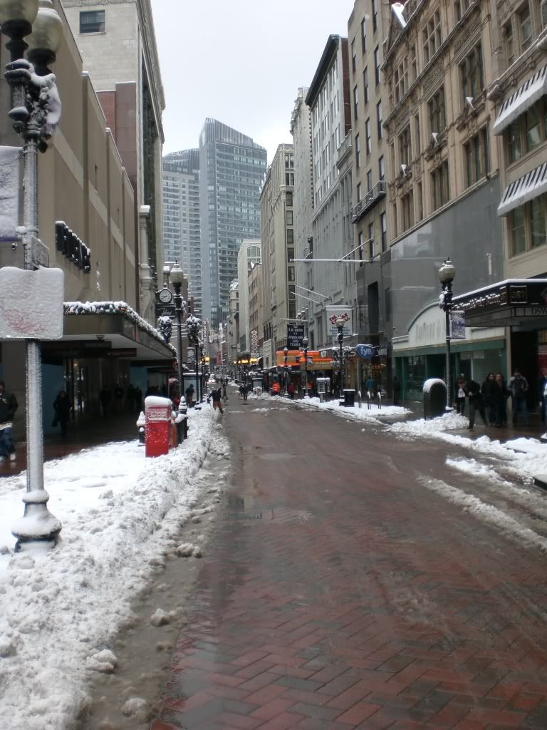
I love all the pictures here. This latest one will be one of the final times we'll be greeted by the ugly Filenes building in the winter. Next year....new steel on that spot!
 
Thanks guys ! ! !

and suffolk those are some great photos too ! ! ! !
 
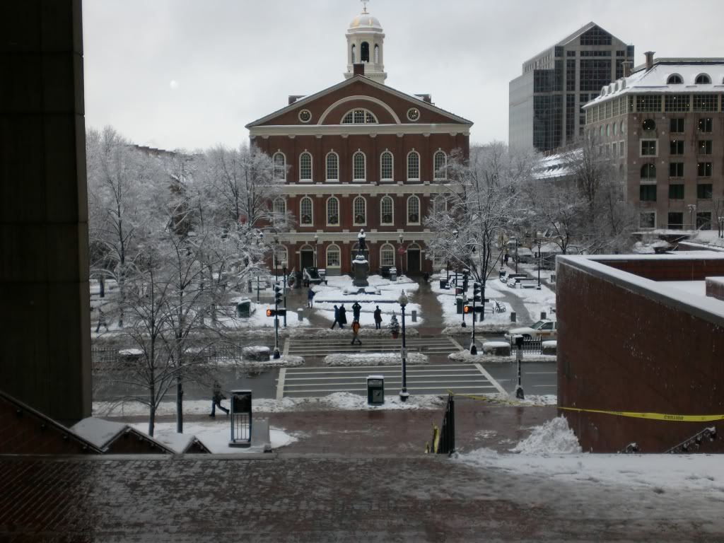
here's a played out repeatable photo but I thought the snow added something....

PICT0005.jpg
 
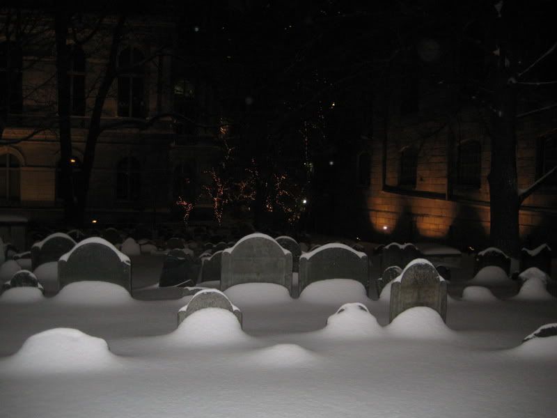
These are from December, but what the hell

IMG_2406.jpg


IMG_2399.jpg
 
Wow, beautiful snow shots. I love it, and the night waterfront shots by GMACK are absolutely stunning, by far my favorite. Good job GMACK!
 
Whose face is in the City Hall Plaza "Big Brother" shot?

I've walked by that thing often wondering why it doesn't get more attention...
 
From burislav on www.skyscrapercity.com

2213953860_cfc1a839ba_o.jpg

2213953732_6a2531a1dd_o.jpg


You think how different this view "should" look in about 5 years. The Clarendon, Columbus, W Hotel, Residences at Kensington, 29 Kingston, SST and Russia Wharf all on this right side.
 
More ammo for my case against BCEC - it looks like the Berlin Wall severing Southie from the rest of the city here.
 
Judging from some of the quotes from Southie residents in the MacAllen thread, Southie might actually like that Wall aspect. i.e. "We don't want gentrification", "we don't want students", (and perhaps tacitly (or not), "we don't want diversity")
 
More ammo for my case against BCEC - it looks like the Berlin Wall severing Southie from the rest of the city here.

Southie the neighborhood has always been separated from Downtown. The idea that the Waterfront is Southie is artificial and new. Before the BCEC, it was a bunch of industrial businesses.
 
Foreshortening in photography distorts the closeness and impact of distant objects to closer ones. (I agree with PerfectHandle here.)
 
You're both missing the point. It isn't that Southie was historically connected to downtown, it's that a massive building straddling many blocks is a barrier to continuous development of active urban space between the two - future development. And yes, I know what a telephoto lens achieves, and it does distort reality, in a sense. But in another sense, it serves as a visual aide to demonstrate the relationship between three parts of the city that would otherwise be difficult to juxtapose in a photograph rather than a more abstract medium, like a map.
 
What is the solution to that problem?

Vertical convention centers? Different orientations? Or should convention centers be place outside city limits?
 
Last edited:
One way to connect up the neighborhoods in question would be to restore Dorchester Ave. This would have to be done after the Post Office moves and before the FBI gets its greedy hands on the land. Given the history of neighborhoods I really don't think South Boston proper, in order to maintain vitality, needs further connections with the Seaport district, any more than Dorchester wishes further connections with Columbia Point and U. Mass. Boston, or the North End with Charlestown. At least Southie has a direct link via the Red Line, South Station, and the Silver Line. Sometimes getting there is half the fun.
 
Status
Not open for further replies.

Back
Top