Rose Kennedy Greenway

The surface artery traffic sewer surrounding the greenway could be greatly tamed and the isolating feeling of the greenway significantly mitigated by simply allowing parking along the curb lanes.

Not so long ago curb parking was allowed on Congress Street in the stretch by City Hall and fairly recently curb parking was removed along Arlington Street where it borders the Public Gardens. Curb parking significantly buffers pedestrians so they no longer feel that they are walking next to a highway.

I took a stroll half the length of it an hour or so ago and am struck by your comment. You are absolutely right that some traffic calming measures would help. The speed of the traffic is very intimidating.
 
Not to derail the traffic-calming and "enclosure" along the Greenway discussion, but this post made me circle back to our discussion of the BRA's Greenway District Planning Study.

At the February 17th meeting, I asked two questions of the BRA staff who were moderating:

  • What action has the BRA taken to establish a plan, best practices, or guiding principles (with or without a public process) in the 22 years since the Artery Project entered the construction phase?
  • In the opinion of the BRA, what about the Greenway, as currently constituted, says "world class" from an urban planning standpoint?

Neither question was answered to my satisfaction. The responses were paper thin, referencing "other planning priorities" over the past 22 years.

Surely someone in City Hall recognized that the project would be done someday...

And then there's the whole world-class discussion. While reading an old issue of ArchRecord on the T this morning, I came across this project, in Medell?n, Columbia. I'd call this world-class.

The materials may not work in our climate, but the concept is a good one. Surely better than the light blades.

Why in Medell?n, and not in Boston?
 
The traffic calming I would propose:

Remove each traffic light along the entire Greenway perimeter, replacing all of the ones at intersections with four-way stops. At each mid-block (non-intersection) crosswalk, such as the one connecting Quincy Market to Christopher Columbus park, raise the crosswalk into a 'speed table' such as is found on Rindge Avenue in Cambridge.

These measures would turn the 'highway' into quiet side streets similar to Milk or Water Street, easily crossed by pedestrians anywhere along their length.
 
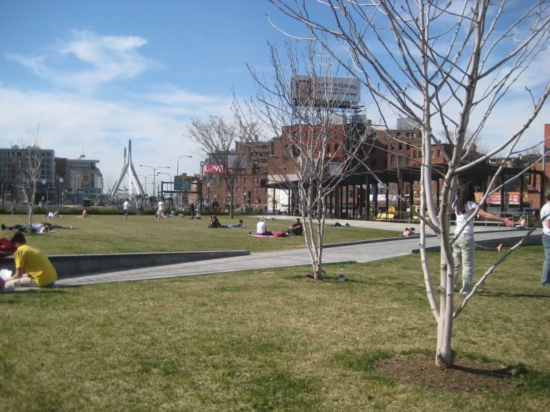
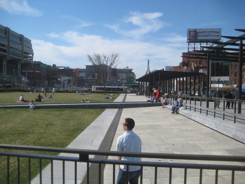
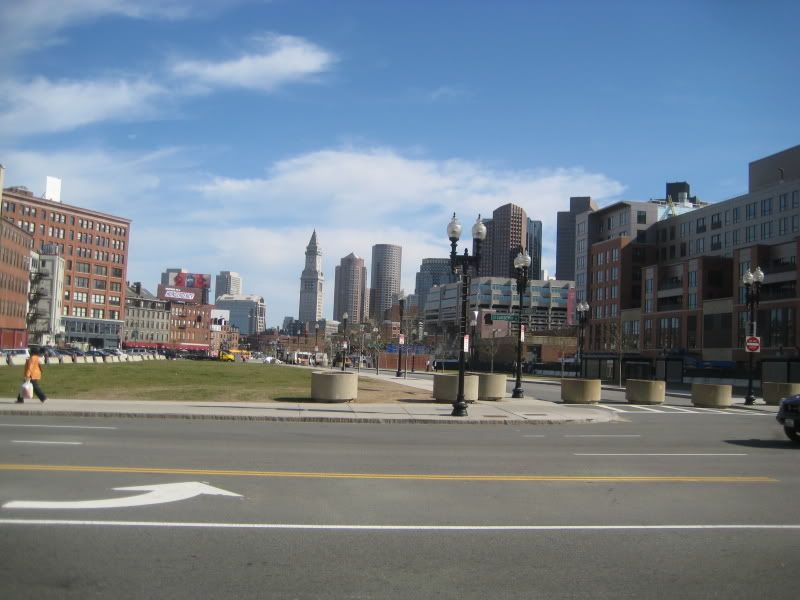
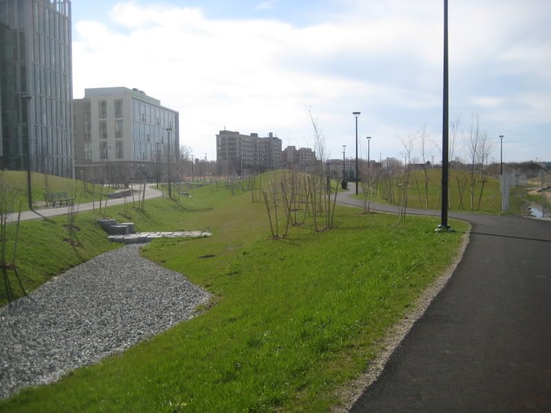
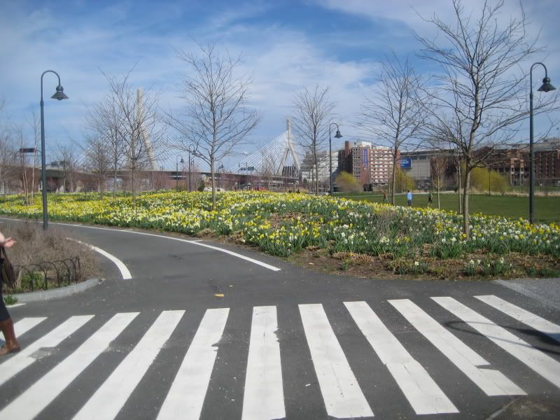
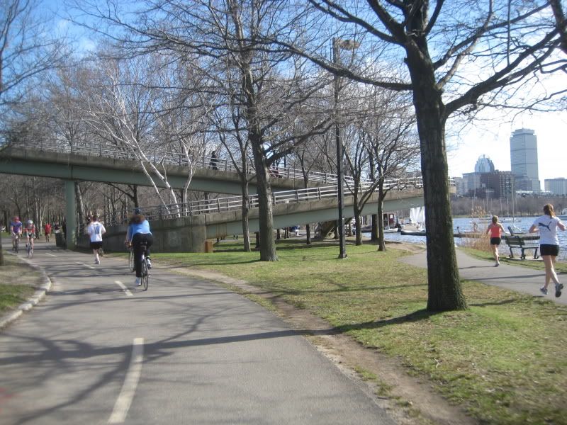
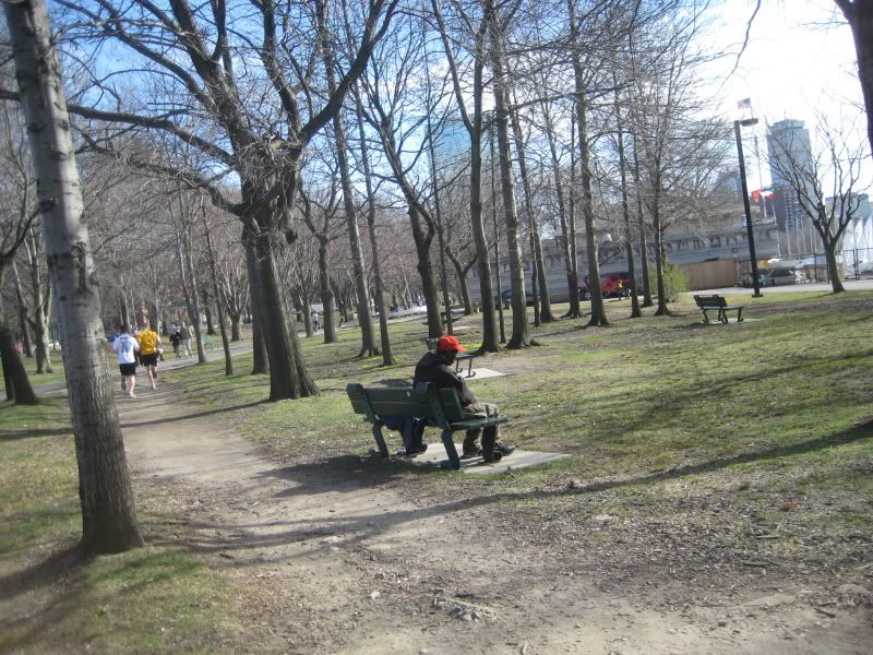
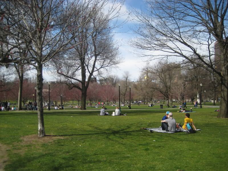
Lets see how people were using the parks today

IMG_8602.jpg

IMG_8611.jpg

IMG_8612.jpg

IMG_8614.jpg

IMG_8626.jpg

IMG_8619.jpg

IMG_8631.jpg

IMG_8632.jpg
 
How is the Greenway's grass already more beat-up and less verdant than the Common's?
 
The fourth photo is not a park, but a vacant Bulfinch Triangle lot awaiting development.

I don't recognize the fifth and sixth photos. Where did you take them?
 
The fourth photo is not a park, but a vacant Bulfinch Triangle lot awaiting development.

I don't recognize the fifth and sixth photos. Where did you take them?

Those are the parks over at Cambridge near Northpoint.
 
From the Boston Redevelopment Authority website:

The Boston 2000 Plan was adopted by the City in 1991 as a master plan for the Central Artery air rights from Causeway Street to Kneeland Street. The plan establishes broad principles for the development of the air rights?the 30 acres of land that will emerge when the elevated highway is dismantled. Land will be devoted to open space and public facilities, 75 percent of this with the remainder for commercial and residential uses.

The Plan calls for new neighborhood parks in the North End and Chinatown, a major new open space in the waterfront area and a horticultural facility in the Financial District/Dewey Square area, as well as three housing sites in the North End and one in Chinatown, and commercial development in the Bulfinch Triangle and Chinatown.

The Project's schedule for demolition of the highway and development of the parks is 2005. To prepare for the park design process, the Massachusetts Turnpike Authority retained the design team of SMWM, the Cecil Group and the Halvorson Company to develop programmatic and design guidelines for the corridor as a whole as well as for each park. The consultant?s report will serve as the brief for the final designers of the parks. The BRA and the Turnpike Authority are now working together to organize the process for selecting the final park designers.

To address its commitments to cover the air rights parcels in which ramps are located, the Turnpike Authority, working with the BRA, has also begun the process of securing developers for ramp parcels 6 and 12.

To provide a vehicle for public participation in these activities, Mayor Menino has formed a Central Artery Completion Task Force. The Task Force is staffed by the BRA. Its meetings are open to the public and generally take place in City Hall on alternate Thursdays. The Legislature has also authorized a special commission, made up of representatives of the House and Senate, the Commonwealth and the City of Boston, to make recommendations on the implementation of the Boston 2000 Plan, with special attention to questions of finance and operational responsibility. The BRA Director is designated as a City representative. This commission is advised by the Mayor's Central Artery Completion Task Force.

This sounds exciting. I can't wait for 2005!
 
This criticism sounds familiar:

There was a grass strip in the center and roads on either side, one for commercial traffic and the other for pleasure traffic. As a result, Columbia Road failed to serve the purposes of either the businesses or the pleasure travelers well, and there was not enough room for what Olmsted considered a proper parkway.

http://ksgaccman.harvard.edu/hotc/DisplayPlace.asp?id=11460

Boston has so much history. When will it ever learn from it?
 
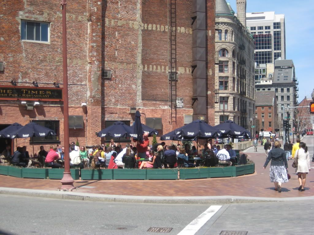
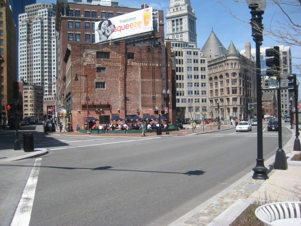
We discussed this little patio somewhere upthread, thought I would post a few pictures.

boston004.jpg


boston005.jpg


European in concept, American in execution.
 
Excellent pictures! Yep, that pretty much sums it right up.
 
They've got the right idea! I wish they could re-do that building so it didn't look so terrible facing the Greenway. There has to be something that they can do, right? Hopefully if anything ever happens it'll be better than the other development which just decided to put windows facing the Greenway.
 
Is that parcel BB?

http://www.masspike.com/business/parcelbb.html

Parcel BB
This is a 2,135 sf parcel created when the Artery came down, located on Surface Road,
between Board Street and India Street, across from the Greenway. An Invitation For Bids
(IFB) to purchase the parcel was issued in January. Two proposals were received and are
being evaluated, one from the owner of the adjacent building.

http://www.mapc.org/services/MHSAB/Agendas_Minutes_2009/March 11 Advisory Board Minutes.pdf
 
Selling it to the adjoining property owner makes sense to me. What is the other proposal?
 
A bar for every superblock!

Actually, I think it could be a problem for the drunks trying to cross the carriageway of the Surface Freeway to get to safety on the median.

Trompe l'oeil on the Grozny facade until something can get built there?
 

Back
Top