Thank you for clarifying, fattony.
In regard to the property edge closest to Suffolk Downs station (between Bennington Street and Route 1A), I'd refer to this as the "Waldemar Avenue Corridor." It's largely residential, ranging from single families homes (nearest to Walley Street and the Station) to the public housing development (closest to 1A, that we've discussed in another thread). Geographically, this is part of Orient Heights, but it does certainly have the disconnected and remote vibe of an outpost that is largely hostile to pedestrians. It should be noted, the northernmost residential properties in the City of Boston are located here.
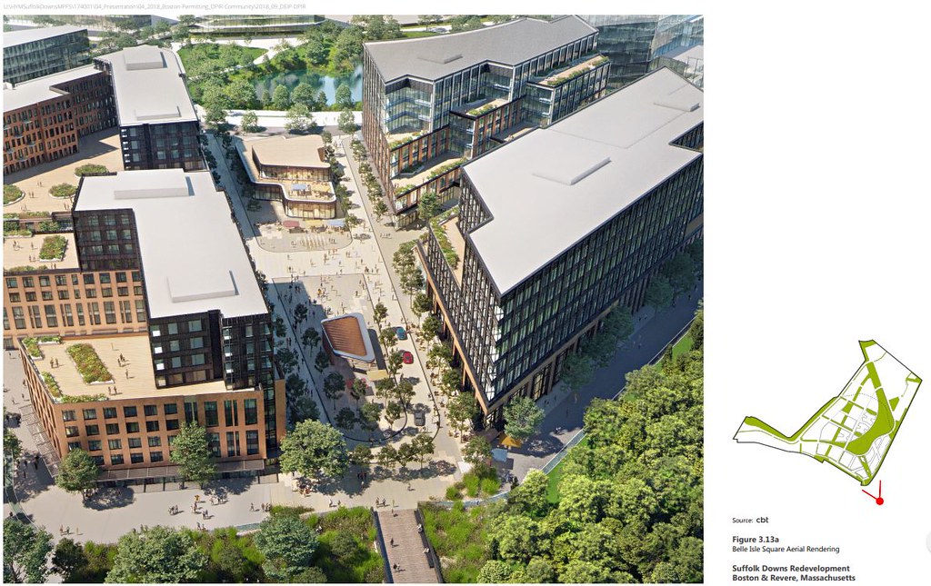
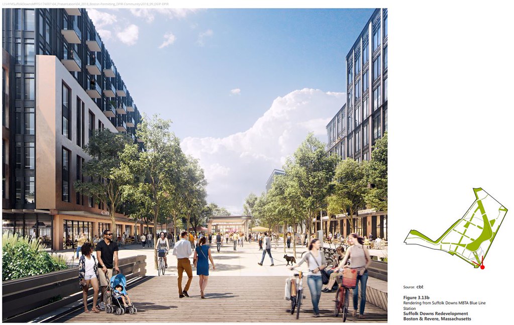
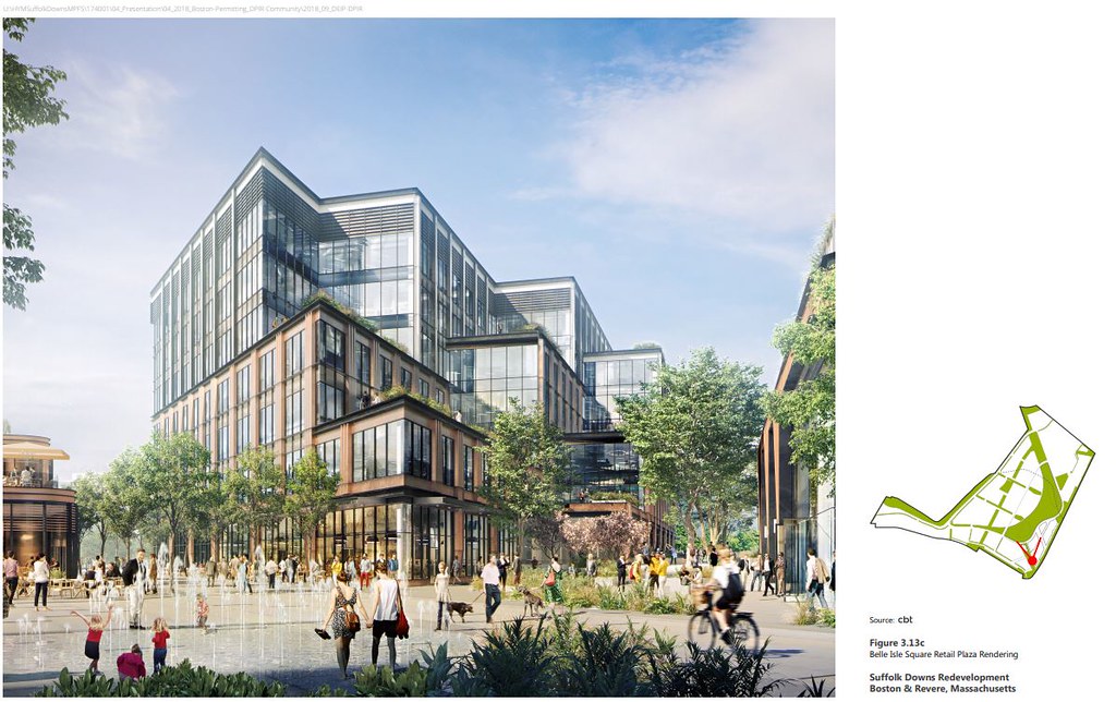
HYM is referring to the area of their project closest to Suffolk Downs Station as Belle Isle Square. I'm not sure that this name will ever stick with the locals; my old man still calls Government Center "Scollay Under," so I imagine that for folks of a certain age, it'll take more than branding to kill off the Suffolk Downs name.
Migrating up Bennington Street to Beachmont takes us past the edge of Belle Isle Marsh. My neighbors and I have been pushing HYM toward a spectrum of ecological improvements in the Marsh, better integrating it with the planned wetland/resiliency improvements to their site.
Bennington Street ends at Winthrop Avenue in Beachmont. There is indeed a heavily-trafficked Dunkin Donuts in the shadow of the Blue Line viaduct, but across the street is one of the best Italian bakeries in the region, on par with anything in the North End. The established neighborhood to the east climbs a hill, and is a mix of single, two, and three family homes, with a few larger apartment buildings that were added in the 70s. This is a working class enclave, historically Italo-Irish (like much of East Boston and Winthrop), with a growing population form Brazil and North Africa - people-watching at the Station exit can be fascinating.
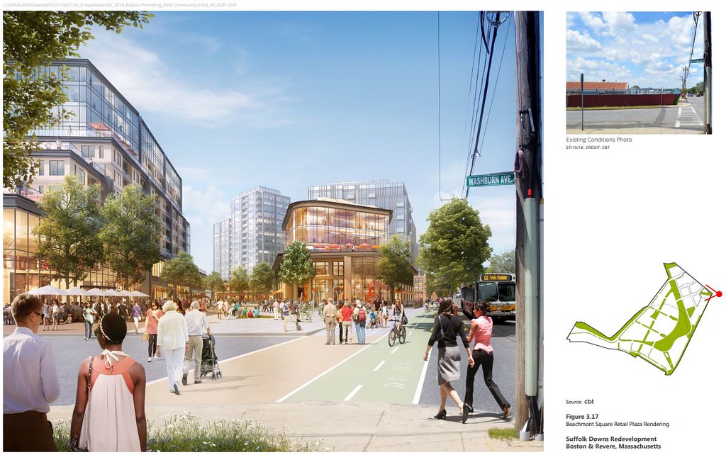
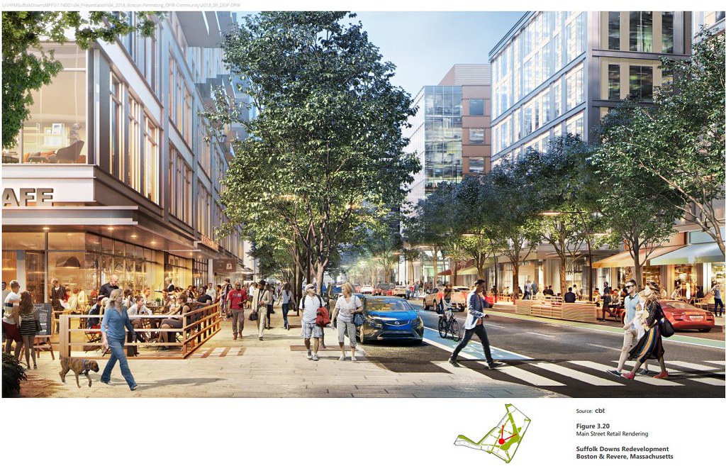
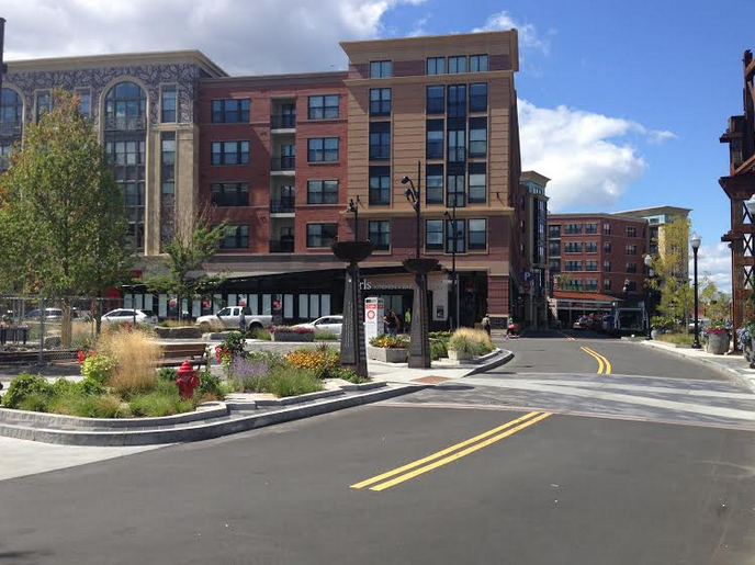
As you observe, the T viaduct and nearby Parkway form an anti-urban, pedestrian-hostile "infrastructure sewer" between Beachmont and the rest of beach-facing Revere. HYM hopes to refocus activity with a gateway-type square adjacent to the Station. Their plans are ambitious, and renderings attractive, but I think the result will be similar to the area immediately around Porter Square Station -- urban density and transit, but unabated vehicular traffic and challenges for pedestrians and cyclists.

