The EGE
Senior Member
- Joined
- Jun 29, 2013
- Messages
- 1,902
- Reaction score
- 5,245
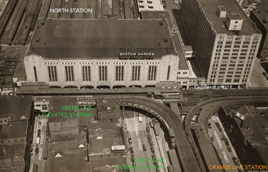
How many MBTA stations can you enter from a non-transportation building (i.e, not including parking garages) without going outside? Arbitrarily defined as "still within walls and a roof, but not just retail within the station"; that is, neither the Tufts Medical Center entrance being under the Floating Hospital, nor the Dominos at Roxbury Crossing having a door into the station lobby, count. I can think of five, but there may be more.