MBTA Buses & Infrastructure

No! Whatever gives you the idea that the T might not be forthright? Oh yeah, everything they do and say

Oh, that is just completely unfair. It's at most 90-95%. Sometimes they are honest and forthcoming. To make sure we can never be sure when they're lying. šŸ™ƒ
 
My very preliminary reaction is a bit less negative on the restoration of some of those lower freq services. Comparing the maps side by side, the May version looks a bit more threadbare, while this version definitely offers more for the ā€œlow-freq one-seatā€ rider ā€” folks who are willing to wait longer/plan around a low-freq schedule in order to avoid transfers. Iā€™m also seeing good (maybe better, idk) coordination of trunk vs branching services ā€” the May version seemed allergic to routes overlapping at all, but overlaps have their place and what Iā€™m seeing in this version looks better on that front.

One challenge: apparently this redesign would require a 50% increase in bus drivers.
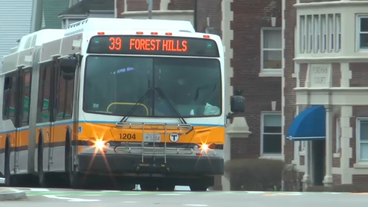

A couple of tweaks in the northern suburbs that I would make to the new bus proposals:

1) Add service to Market St in Lynnfield. The May proposal had relatively frequent service on the 426 bus, the October proposal has none. The lack of service there makes no sense, considering this is a job center.

2) Extend the 134 bus to Anderson/Woburn station, or to Wilmington Depot. The May proposal had a proposed 133 bus looping from the 134's current terminus via southern Wilmington to Anderson/Woburn. The October proposal keeps the 134 at its current terminus just north of the Woburn/Wilmington line. Connecting it to a station at the end will serve more passengers and allow for better connections. Extending it to Wilmington Depot will allow for Lowell Line and LRTA bus connections. Extending it to Anderson will allow for access to plenty of parking, Lowell Line, Amtrak Downeaster, and Logan Express connections.

3) Either extend the proposed 132 bus from its terminus in Woburn Center to the 354/80/LRTA terminus at Chestnut Ave in Burlington via Winn St or via Lexington St to Cambridge St., or instead extend it via Lexington/Cambridge Streets to the the Burlington Mall/Second Ave area and eliminate the loop through the Mall/Second Ave area on the proposed 80 (North Burlington-Davis Sq) and terminate it near Second Ave.

If the mall/Second Ave loop is eliminated on the 80 in favor of extending the 132 to Second Ave from Woburn it will give passengers traveling to/from points in Burlington north of the mall to/from Davis on the 80 a much quicker ride in (the mall loop as it currently is is an exercise in tedium for those going to/from points north, never mind the added Second Ave deviation), and it will make it easier for workers who live in the Malden/Everett/Revere area a quicker commute to the mall area, and will allow for the two LRTA lines that serve that area to have connections to two separate MBTA lines, instead of two LRTA routes connecting to one MBTA route.

Alternatively, extending the proposed 132 to Chestnut Ave in Burlington in favor of keeping the mall/Second Ave deviation on the 80 will also eliminate the tedious Mall/Second Ave detour for many passengers going to/from points north of the mall while introducing a direct connection to the Malden/Melrose area and the Orange Line, will introduce service to Winnmere -the most densely populated neighborhood in Burlington- and will allow passengers who want to travel to/from the mall area to connect via the 80 at any point north of the Winn St/Cambridge St intersection in Burlington Center. Routing the 132 via Lexington/Cambridge Streets instead of Winn would allow for better connections to the Mall area via the 80 between, but will bypass Winnmere.
 
Last edited:
@Roxxma i agree on the 134--in general, the rule for buses should be "no dangling ends" we have too many where a line just peters out in some transit desert somewhere. Instead, suburban lines should (where possible) terminate with a connection to Commuter Rail or other transit hub.
 
Took the Number 1 for the first time in years the other afternoonā€¦ just after lunchā€¦ took almost half an hour to show up and then hit every stop as it always does. Out of all the lines, why in the world havenā€™t they consolidated stops on this route? I got on at Mass Ave and it took nearly 20 minutes just to get to the Charles, mostly due to the fact that it stopped every 100 feet. The fact that thereā€™s even a stop, on Mass Ave, between Mass Ave Station and Huntington Ave is just insane.
 
Took the Number 1 for the first time in years the other afternoonā€¦ just after lunchā€¦ took almost half an hour to show up and then hit every stop as it always does. Out of all the lines, why in the world havenā€™t they consolidated stops on this route? I got on at Mass Ave and it took nearly 20 minutes just to get to the Charles, mostly due to the fact that it stopped every 100 feet. The fact that thereā€™s even a stop, on Mass Ave, between Mass Ave Station and Huntington Ave is just insane.
4 stops (St Botolph/Huntington, Clearway/Christian Science, Newbury/Boylston, Beacon/Marlborough) between Mass Ave and the River (0.8 miles, or about 4,200 feet) seems very reasonable to me. Thatā€™s one stop about every 1,000 feet, not every 100. Each stop serves an important area (Symphony/Huntington, Christian Science Center, Hynes GL, and Back Bay) and I wouldnā€™t recommend cutting any of them.
 
Took the Number 1 for the first time in years the other afternoonā€¦ just after lunchā€¦ took almost half an hour to show up and then hit every stop as it always does. Out of all the lines, why in the world havenā€™t they consolidated stops on this route? I got on at Mass Ave and it took nearly 20 minutes just to get to the Charles, mostly due to the fact that it stopped every 100 feet. The fact that thereā€™s even a stop, on Mass Ave, between Mass Ave Station and Huntington Ave is just insane.
They did consolidate to get as close to 1,000 stop spacing on the Key Bus Route project from years ago. Back in the day when the CT1 was created it really did bypass a lot of regular 1 stops but not so much after the Key Bus Route project.
 
4 stops (St Botolph/Huntington, Clearway/Christian Science, Newbury/Boylston, Beacon/Marlborough) between Mass Ave and the River (0.8 miles, or about 4,200 feet) seems very reasonable to me. Thatā€™s one stop about every 1,000 feet, not every 100. Each stop serves an important area (Symphony/Huntington, Christian Science Center, Hynes GL, and Back Bay) and I wouldnā€™t recommend cutting any of them.
I disagree. The area around the symphony is incredibly congested. Thereā€™s nothing unreasonable about making people walk the half block to Mass Ave and eliminating the stop at Huntington.
 
I disagree. The area around the symphony is incredibly congested. Thereā€™s nothing unreasonable about making people walk the half block to Mass Ave and eliminating the stop at Huntington.
At a minimum eliminate one of the other stops. The stop at Huntingtin is a Green Line transfer point.

Buses are supposed to offer easy transfer to trains.
 
The main thing that the 1 needs is to not be stopped in traffic. Further stop consolidation would just slow the boarding process at the remaining stops, not really gaining any net time savings. But quick passage between stops would make it a useful option.
 
Any ideas why (and how) there are hybrids in the Seaport tunnel right now...? (straight XDE40s, not XDE60 with long range battery or whatever the MBTA is pushing)
1668553968898.png
 
Has anyone else found that the various bus and transit trackers, but especially the bus ones, have become stunningly unreliable in recent months? Quite often, for example, Transit, canā€™t even determine which direction a bus is going, let alone give an accurate prediction. There also seem to be many more ghost signals than there used to be.

Is this a change the apps? Or the transponders? Does anyone have an idea, or, for that matter, a suggestion of a tracker that is working well these days?
 
The main thing that the 1 needs is to not be stopped in traffic. Further stop consolidation would just slow the boarding process at the remaining stops, not really gaining any net time savings. But quick passage between stops would make it a useful option.
That would help a lot, obviously, although unless it runs on its very own lane for most of the route, and gets something to trip signals with, I donā€™t see it making a real difference. There are so many stoplights on Mass that have no coordination with each other and when you throw in even a couple cars at each of them, or causes a lot of stop-start for a bus.
 
With all this stuff about a redesigned bus network, I was wondering what people thought of as the next logical bus priority/BRT street? I think Mass Ave is probably the one that would make the most sense, but, now on the Mass Ave bridge, they just took out 1 lane to create bike lanes on the bridge. There's at least a short bus lane on the Boston side and ones going to the bridge on the Cambridge side. Maybe they can redo the bike lanes and create bus lanes too?
 
  • Like
Reactions: FK4

Back
Top