MBTA Buses & Infrastructure

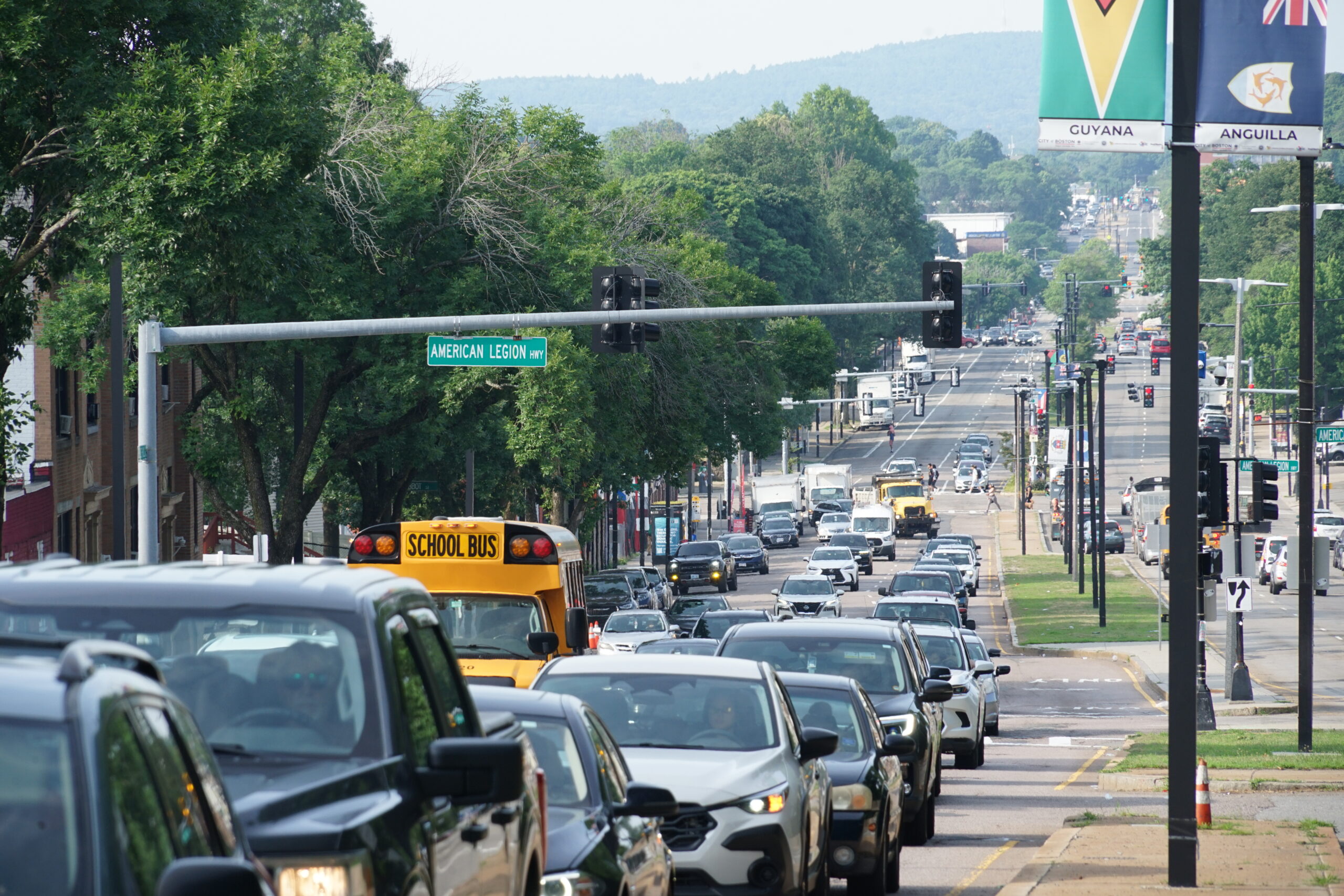
The major infrastructure project, in the works for several years and the subject of dozens of meetings already, has been dogged by vocal opponents who say one of its central features— a center-running bus lane— may be disruptive to businesses and is unwanted by many who live in the community and use the roadway.
The new round of four public meetings will begin with a town hall meeting on Thurs., Sept. 10 at Morning Star Baptist Church in Mattapan. Three additional meetings are planned in both Dorchester and Mattapan through the end of September.
[...]
In announcing the meetings, a city statement provided to The Reporter referred to an updated design and a willingness to “gather additional public feedback.” It also signals ongoing support for moving forward, hailing the project as “the largest investment in the Blue Hill Avenue streetscape in decades.
“It will fund a full reconstruction of the roadway and sidewalks along the three-mile corridor and add new streetlights, trees, street furniture, safer crossings, and additional improvements. The proposed center-running bus lanes are expected to reduce travel times for all bus routes on Blue Hill Avenue. Route 28 trips from Mattapan to Grove Hall will be shortened by approximately 10-15 minutes during rush hour––cutting trip times in half,” the city statement reads.
City and MBTA officials have not yet indicated whether revisions to the design will change the cost estimate or specific design elements. But Osgood emphasized that the revised plans would result in a net increase in parking spaces and retain at least two general traffic lanes in each direction through most of the corridor. The design also calls for signalized left turns and U-turns at selected intersections, nearly 200 new street trees, 185 pedestrian ramps, and 20 additional signalized crosswalks.
 
"A net increase in parking" will be provided in the project. Yup, gotta have that parking. Forget the bus lanes, but that parking is sacrosanct.
There weren't any proposed cross-sections provided in the write-up, but I do really hope that continuous (no gaps) center bus lanes are still in the design.
 
The article seems to mostly be excerpts from this MBTA press release: https://www.mbta.com/news/2026-07-3...phil-eng-mayor-michelle-wu-announce-community
Of note, the new plans will be "providing a two-way protected lane for bicyclists" which is somewhat encouraging. However, I imagine this has more to do with reducing the space taken up by bike lanes than anything else.

"A net increase in parking" will be provided in the project. Yup, gotta have that parking. Forget the bus lanes, but that parking is sacrosanct.
There weren't any proposed cross-sections provided in the write-up, but I do really hope that continuous (no gaps) center bus lanes are still in the design.
I don't think having the bus lanes stretch across the whole corridor is that big of a deal, especially given that they are center-running. The biggest speed increases will come from lanes around stops, to reduce dwell times, and around traffic signals, to prevent delays of multiple light cycles. There will likely be mid-block sections of BHA where the presence of bus lanes will have little to no impact on speeds. While it certainly never hurts to have additional, dedicated bus lanes, if adding some (ideally paid) parking finally gets the project moving forward, it's more than worth it. This could also mean that whatever additional political capital that would have been spent here can now be used for mobility improvements in other parts of the city.
 
This motivated me to recreate Riverside's 2020/2021 maps of frequent rush hour services. While I have long concentrated my mapmaking primarily on 7 day a week morning til midnight service (i.e., minimum Sunday service standards), rush hour service did take a huge hit during COVID, which Riverside's maps today are essentially useless due to all of those service cuts. In addition, with the MBTA insanely and stupidly plowing "full steam ahead" despite its own forecast indicating it being hudnreds short of 1,750/1,867 by December 2024 & filling in vacancies into January 2025; Fall 2024 is also likely "the last pre-BNRD bus schedule rating".

Here's maps of 15 minute frequencies, based on whatever the MBTA provided in their systemwide map PDF frequencies for Fall 2024.

(Note: 15 minutes still isn't "show up and go", it's still "check departures & go", but using 10 minutes would make the maps essentially empty)
Weekday AM Peak - (7:00 AM - 9:00 AM) - Fall 2024Weekday Midday (9:00 AM - 4:00 PM) - Fall 2024Weekday PM Peak (4:00 PM - 6:30 PM) - Fall 2024
View attachment 55229View attachment 55099View attachment 55230
Weekday Evening (6:30 PM - 8:00 PM) - Fall 2024Saturday Midday (11:00 AM - 5:00 PM) - Fall 2024Sunday Midday (11:00 AM - 5:00 PM) - Fall 2024
View attachment 55231View attachment 55095View attachment 55088

Notes:

Even with anaylsis of weekday schedules: Medford, Charlestown, and Malden; still all been really hurt by all the 2021-2024 service cuts. No frequent routes AT ALL in Medford in Charlestown; not even rush hour!!! All TAKEN AWAY since 2020! Malden lost it's Medford Sq. and Main St. combined frequencies of 15 minutes during rush hour it had pre-COVID.

Anyhow, this analysis and update/revision of Riverside's 2020 rush hour frequency maps to reflect Fall 2024 service levels needed to be done. Those pre-COVID maps hardly reflect how much service was cut down, reduced, and cut back between 2021 and 2024.

I have also updated the 15 minute and 10 minute maps by time of day/week to the Summer 2026 schedule, (and fixed a few bugs).

1785893364805.png
 

Back
Top