kenmoreResident
New member
- Joined
- Dec 6, 2012
- Messages
- 52
- Reaction score
- 1
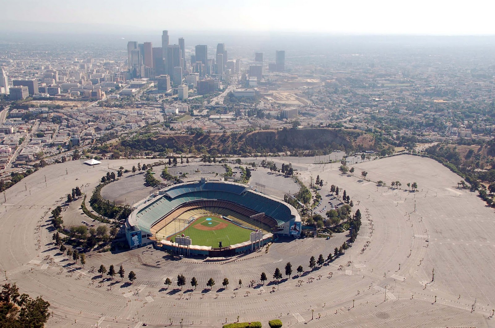
DaveM's photos prompt me to put up the then and now views below, from very roughly the same angles ...

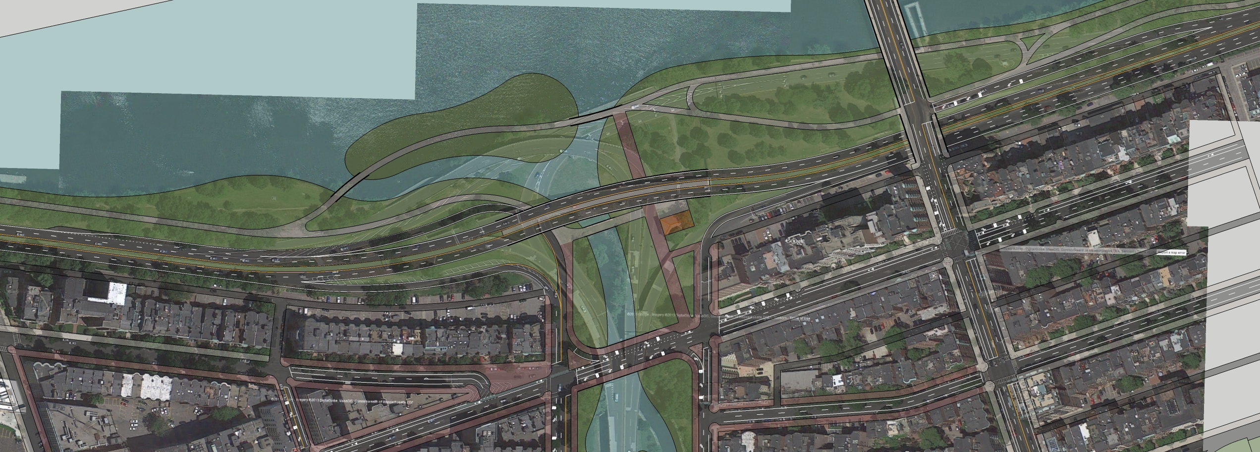
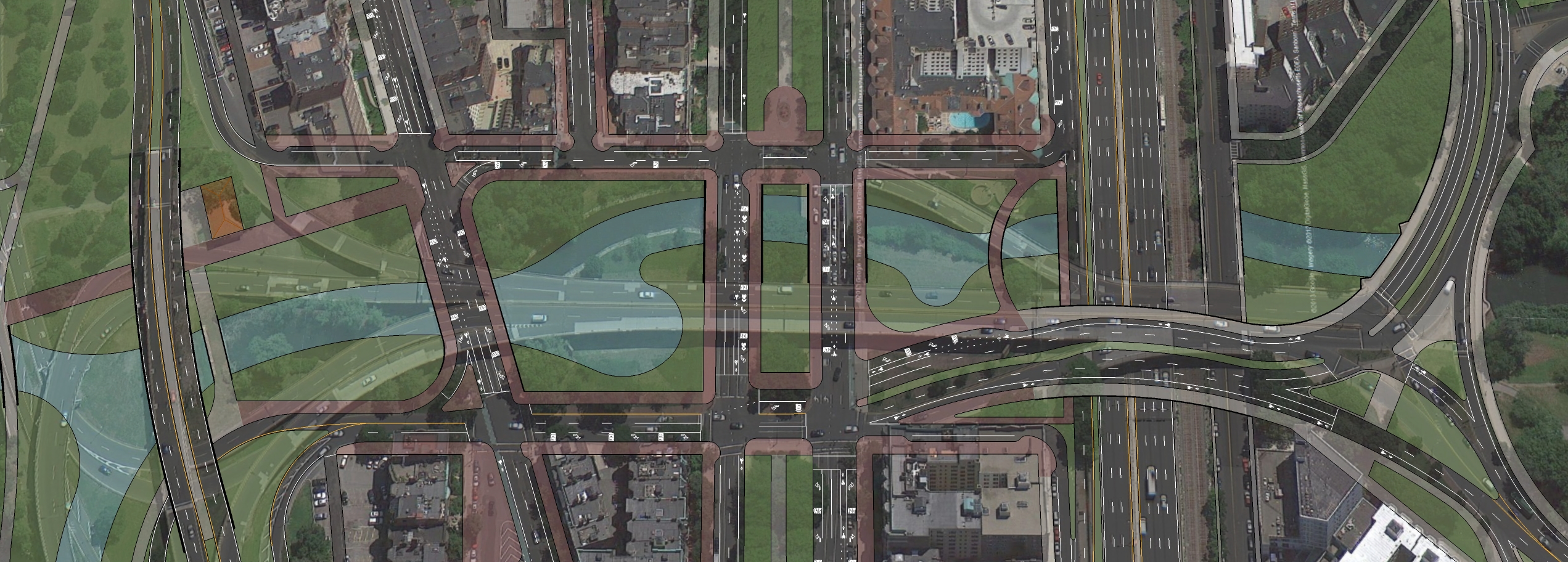
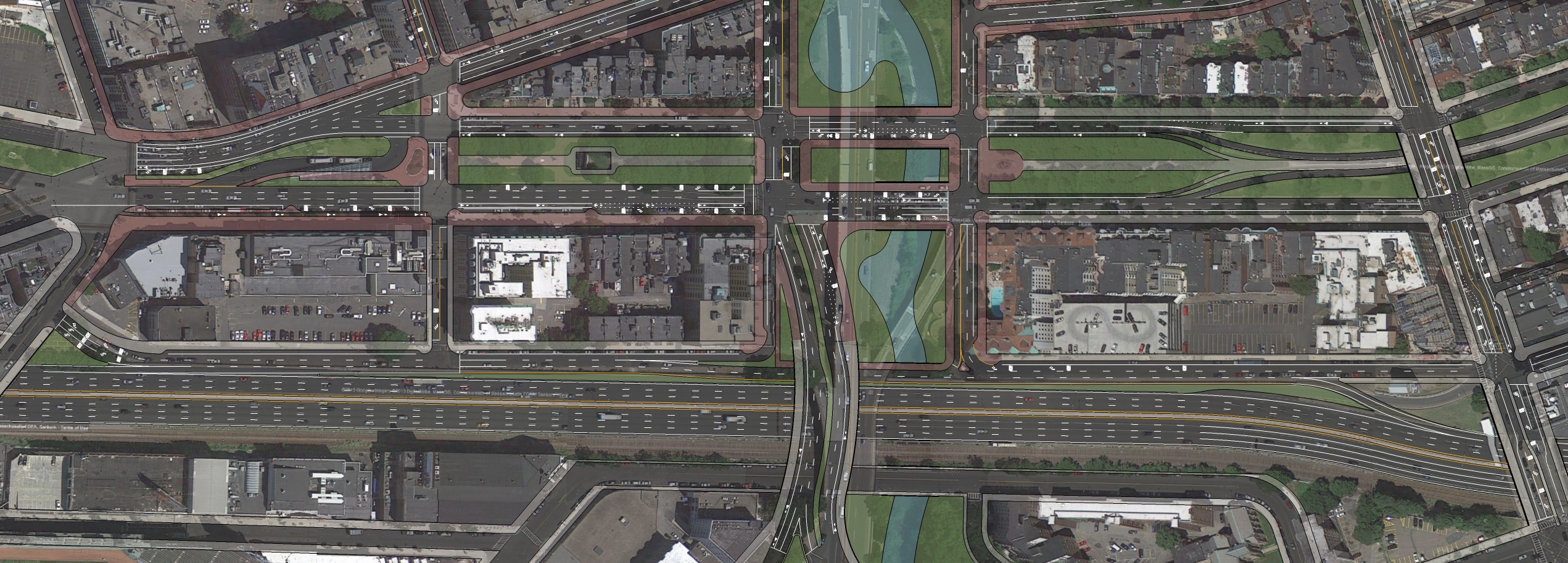
I know that, and neither does the ramp I am suggesting to the Fens go into that area in your photos, which I assumed you knew. So now I guess i don't understand your point. The aesthetics in the ramp area are going to be lousy, with or without a ramp up to the Fens is my point. I guess slightly less lousy without my ramp to the Fens, I will concede that, but in any case nowhere near like those photos towards the other side of the Charlesgate. That will never happen on the south end of the Charlesgate.
What I'm saying is there is no need for any ramps north of EB Comm Ave. Hence my design, everything is at grade except for the Storrow Drive mainline and the downgrade between the Pike and Comm Ave (which has historically always had an overpass due to the B&A tracks). You have everything north of Beacon covered in roads, as well as the center of Charlesgate and a third road in the middle of Comm Ave.
You and the DOT think alike, at least a little bit anyway! Your off ramp is a combination of 2 ideas under consideration by the DOT "Back Bay Alternative 1: New Westbound Off Ramp to Berkeley Street ", and Back Bay Alternative 2: New Westbound Off Ramp to Trinity Place/Stuart Street (one starts where yours starts, and the other ends where your ends, but starts further east)
http://www.massdot.state.ma.us/Portals/27/Docs/PublicMeeting_Part2_120413.pdf
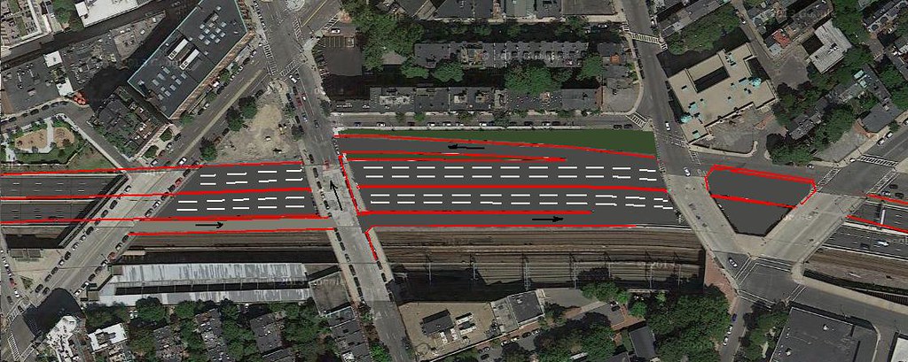
I'm aware of DOT's proposed off-ramp, but DOT does not include the eastbound on-ramp that I propose. I think both ramps are critical to take traffic off of Storrow Drive, so that it and the Bowker overpass can be remade into surface streets.

How would this area handle the crunch of traffic 81 times a year when the Sox have a home game? Storrow is a major artery for fans coming to Fenway. You reduce/alter the Storrow, how bad would that hurt traffic in the area?
How would this area handle the crunch of traffic 81 times a year when the Sox have a home game?
It shouldn't -- that's why we have a Green Line and a Yawkey commuter rail station.
It shouldn't -- that's why we have a Green Line and a Yawkey commuter rail station.
It shouldn't -- that's why we have a Green Line and a Yawkey commuter rail station.