kenmoreResident
New member
- Joined
- Dec 6, 2012
- Messages
- 52
- Reaction score
- 1
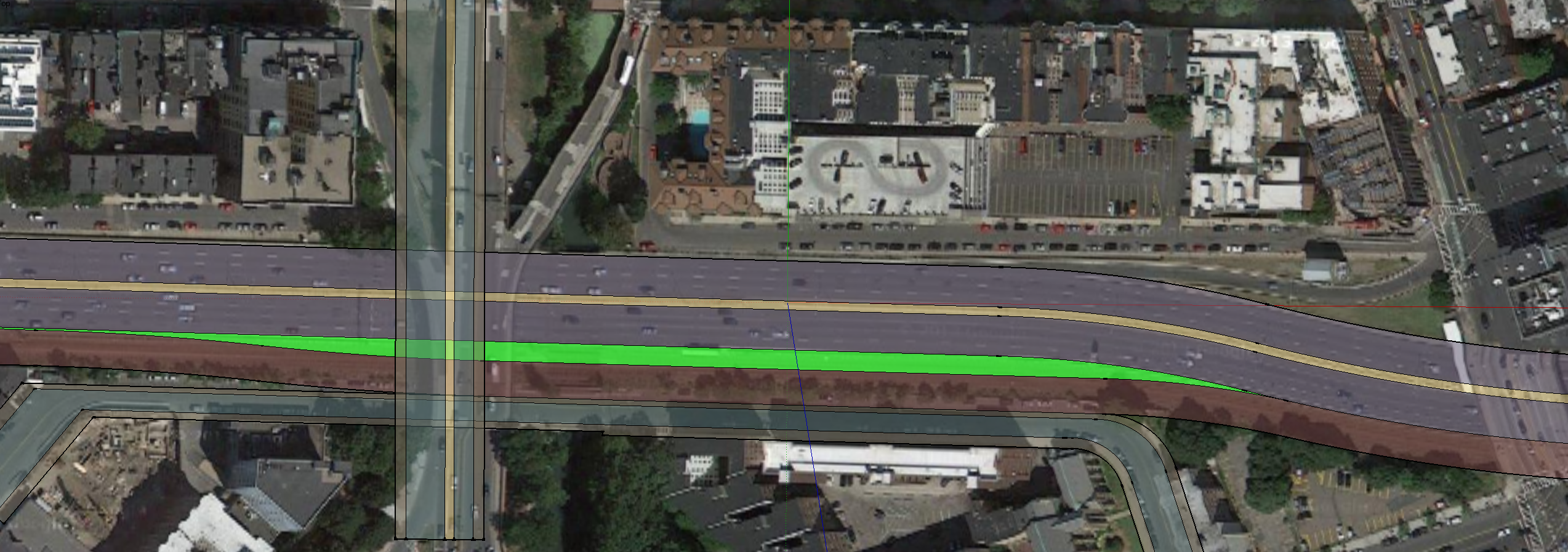
The EB onramp at Bowker problem is, of course, finding enough merge area to build a ramp and provide a Pike merge lane for the onramp traffic.
Given space constraints, it seems the onramp would have to be build either above the Pike or the RR tracks BUT it has to be high enough above either of them to allow adequate clearance for the cars or trains underneath, yet it still has to find a place to drop at some point to meet the Pike traffic.
This board has ruled out descending the RR tracks to allow such a ramp as not practical.
How about descending the Pike itself? What if the pike were lowered x # of feet in the EB direction ... enough to allow the onramp to descend while still being above the Pike lanes. At some point, the Pike is shifted so it is no longer under the new onramp (see diagram below), at which point the Pike starts to rise, and the onramp descends a bit more steeply, and then the two meet at the same elevation in the onramp merge area.
Does this sound possible?
Last edited: