Bunker Hill Housing Redevelopment | Charlestown

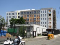
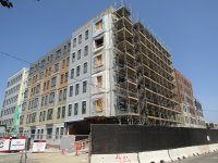
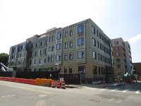
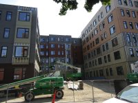
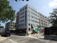
The new redev building going up right now is in a unprotected floodplain with no flood mitigation projects ongoing right now.
thats not accurate at all, as shown by the flood maps. only a small portion of the BH site is even in the 2070 1% flood zone.
not sure if its intentional for a narrative or ignorance but here it is, 2070. most of Charlestown is actually pretty well protected except the neck and the infill areas of the Navy Yard and Marine terminal area.
1720710316641.png


and if you want to get into more detail:
 
thats not accurate at all, as shown by the flood maps. only a small portion of the BH site is even in the 2070 1% flood zone.
not sure if its intentional for a narrative or ignorance but here it is, 2070. most of Charlestown is actually pretty well protected except the neck and the infill areas of the Navy Yard and Marine terminal area.
View attachment 52603

and if you want to get into more detail:
The state notes a 20% flood risk for the brand new buildings by 2070. Only 45 years away. That map is horrendously overly optimistic. Boston is already enduring steaming Amazon-like summers where overnight lows are 8 - 10 degrees higher then they used to be in the late 1800s, with dews stuck in the 70s (low 20s Celcuis) for weeks on end. Projected active hurricane season this year. Federal elections with a high chance of going south. The T and city budgets going broke. Good luck reducing emissions to get that optimistic scenario for the first map.

A 20% flood risk is a 5 YEAR storm. That is a dangerously high risk of flooding. The new building going up right now is in grave danger in the near future.

1720728169366.png
 
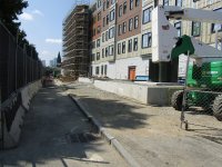
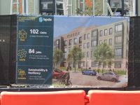
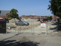
Photos from this morninng 7/27.
 

Attachments

  • IMG_4186.JPG
    IMG_4186.JPG
    6.7 MB · Views: 94
  • IMG_4191.JPG
    IMG_4191.JPG
    6.6 MB · Views: 90
  • IMG_4193.JPG
    IMG_4193.JPG
    6.6 MB · Views: 87
  • IMG_4195.JPG
    IMG_4195.JPG
    6.4 MB · Views: 81
  • IMG_4198.JPG
    IMG_4198.JPG
    4.6 MB · Views: 76
  • IMG_4201.JPG
    IMG_4201.JPG
    4.8 MB · Views: 80
  • IMG_4204.JPG
    IMG_4204.JPG
    5.4 MB · Views: 83
  • IMG_4207.JPG
    IMG_4207.JPG
    6.7 MB · Views: 90
Re: sea level rise effect on the Bunker Hill Housing Redevelopment.

The NPC/DEIR states that the first floor of all residential units and critical infrastructure will be
elevated to 21.5 feet or higher at the site. In Phase 1, Building M is expected to be impacted by the 1% annual chance storm / 36 inches of SLR scenario by 2070, and, thus, first floor residences and critical infrastructure will be elevated in this building.
^^^ Excerpted from the NPC/DEIR Certificate of May 1, 2020; p. 17.

A 1 percent annual chance storm is a so-called once in every 100 years storm.
Source:
https://eeaonline.eea.state.ma.us/E... Cert 1 Bunker Hill Housing Redevelopment.pdf
 
Nitpick: 1% annual chance storm/"100 year storm" is 1 in 100 chance in any given year, not 1 every 100 years.
Sure, and (1 - (1 - 0.01)^100yrs) = (64% chance of happening every 100 years), which in this sort of estimation game is close enough to 100% that it's reasonable to say "basically guaranteed to happen every hundred years" because the implications for building should be the same whether it's 64% or 100%.
 

Back
Top