real_EthanHunt
Active Member
- Joined
- Jul 18, 2019
- Messages
- 265
- Reaction score
- 428
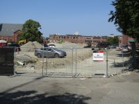
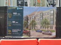
thats not accurate at all, as shown by the flood maps. only a small portion of the BH site is even in the 2070 1% flood zone.The new redev building going up right now is in a unprotected floodplain with no flood mitigation projects ongoing right now.
not sure if its intentional for a narrative or ignorance but here it is, 2070. most of Charlestown is actually pretty well protected except the neck and the infill areas of the Navy Yard and Marine terminal area.
and if you want to get into more detail:
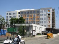
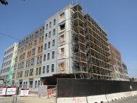
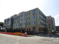
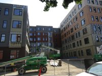
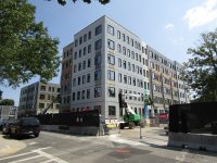


 . Its not all haphazard like some other examples, here the different colors just make it look like multiple buildings that are abutting each other. Thats how it should be done. Looks fine, and once it all comes together this is going to be a massive improvement.